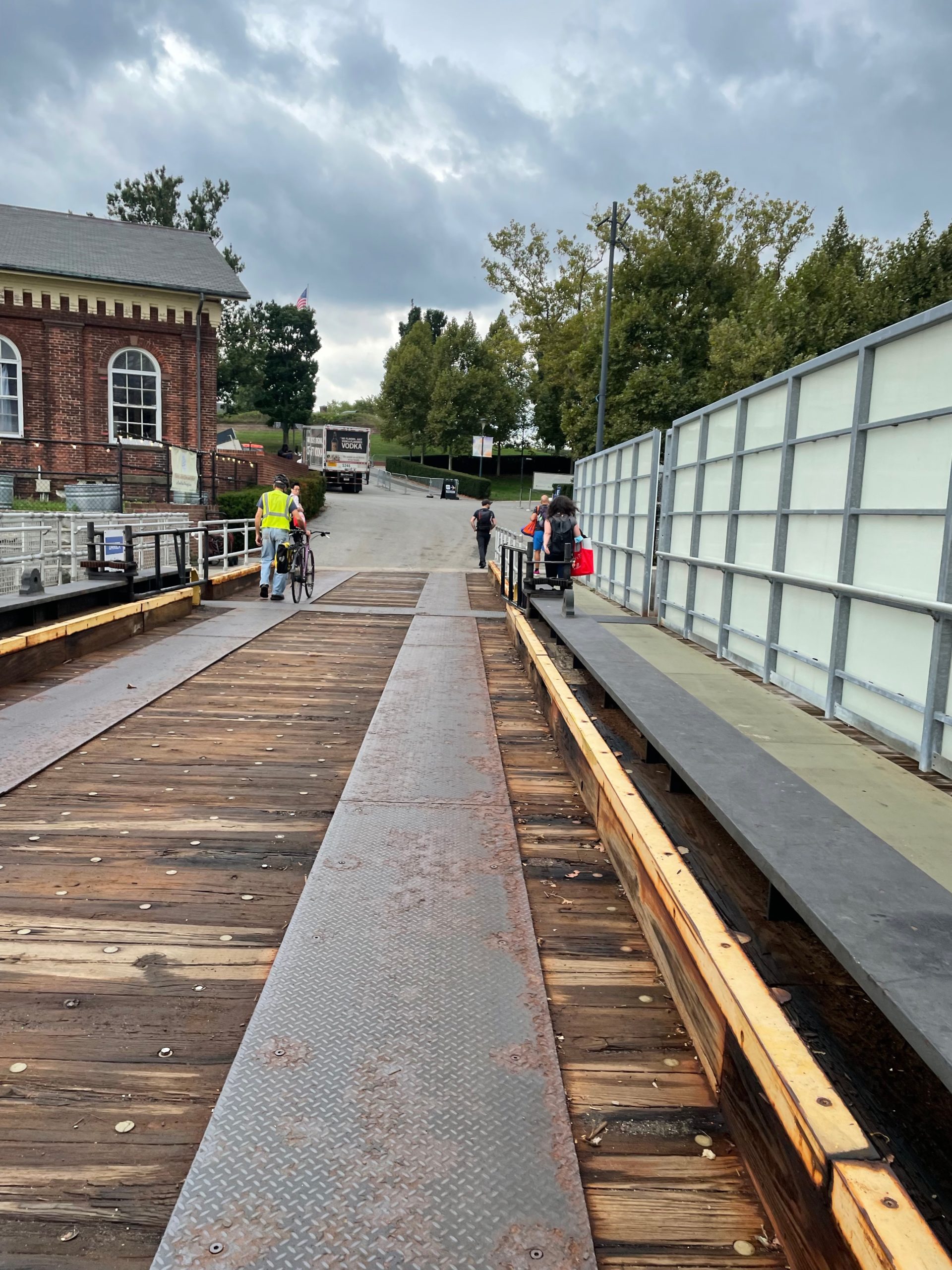
This week I’m starting a new residency on Governors Island, at the LMCC Arts Center on the island. It is my second time doing a residency there, and I am thrilled to be returning to Governors Island. I will be working with the volunteer plants on the island, making handmade paper and inks with foraged weeds, researching urban farming and foraging, and developing the next pamphlet, which is soon to come.
But most importantly, I want to invite you to walk with me on the island this fall. I will be on the island most weekends this fall, as well as Tuesday afternoons, and I want you to come take a walk with me. This will be an opportunity to have an intimate, one-on-one conversation about a very specific bit of land and its history, and to think about the future of the island and NY harbor. I will be walking with friends, strangers, and pamphlet subscribers, and I am looking forward to what will come about. I plan on making some kind of publications to commemorate the walks, but I mostly look forward to being outside in one of my favorite places.
Come visit me starting this weekend, September 24-25. Email me here to let me know that you are coming and we can make a date.
Paths to the Shore is a solo exhibition that explores the ways that history, infrastructure, and nature interact on the Brooklyn waterfront. This body of work includes a series of waterfront-focused pamphlets, video, and large-scale maps produced using letterpress, relief printing, and handmade paper. The resulting exhibition offers documentation of Brooklyn’s marshland, landfills, industrial pollution, public housing projects, rezoned neighborhoods, public parks, and areas under threat in an era shaped by climate change.
I’ll be giving a talk about the exhibition via zoom on Monday, January 31st at 6pm; info and registration link for that is here.
CBA is open Monday–Thursday from 11am–6pm and Friday & Saturday from 11am–5pm. Admission is free with a suggested donation.
All visitors are required to show proof of Covid-19 vaccination upon arrival and wear a mask covering their nose and mouth at all times while on-site.
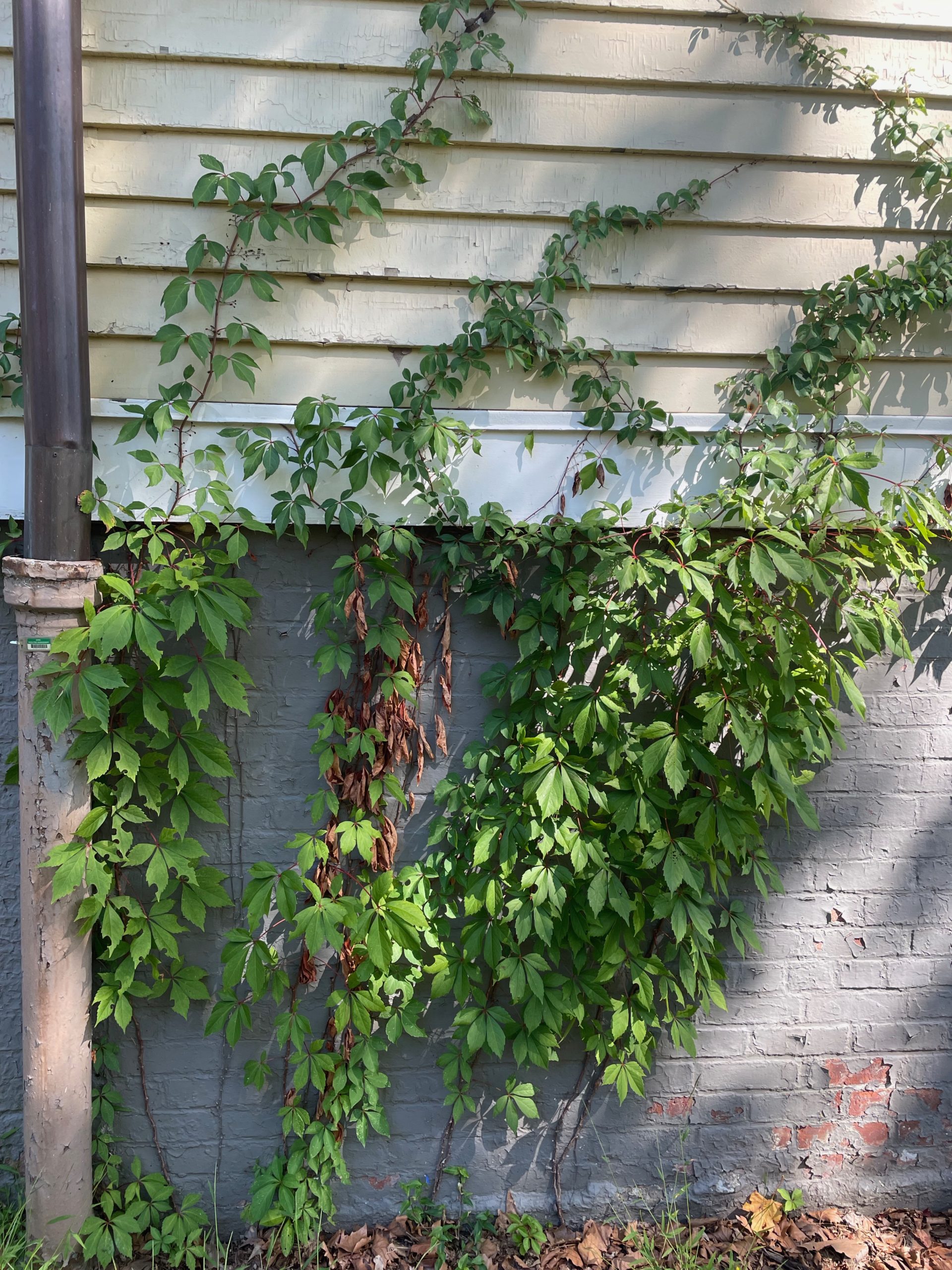
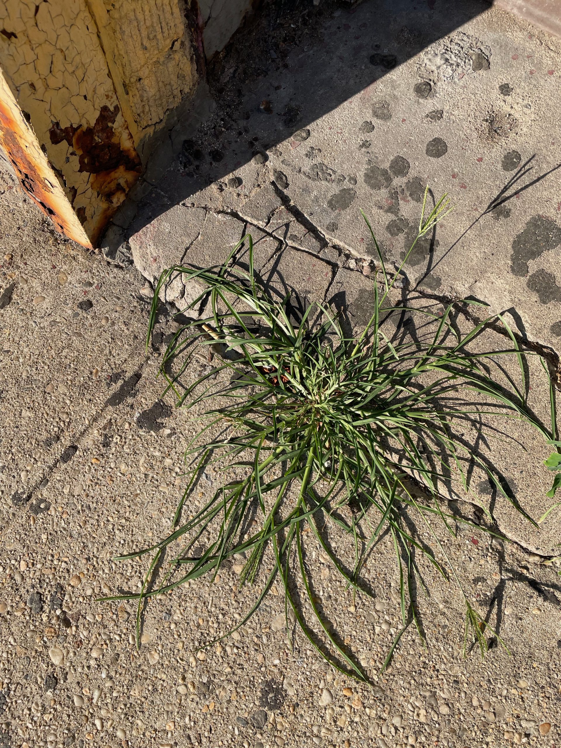
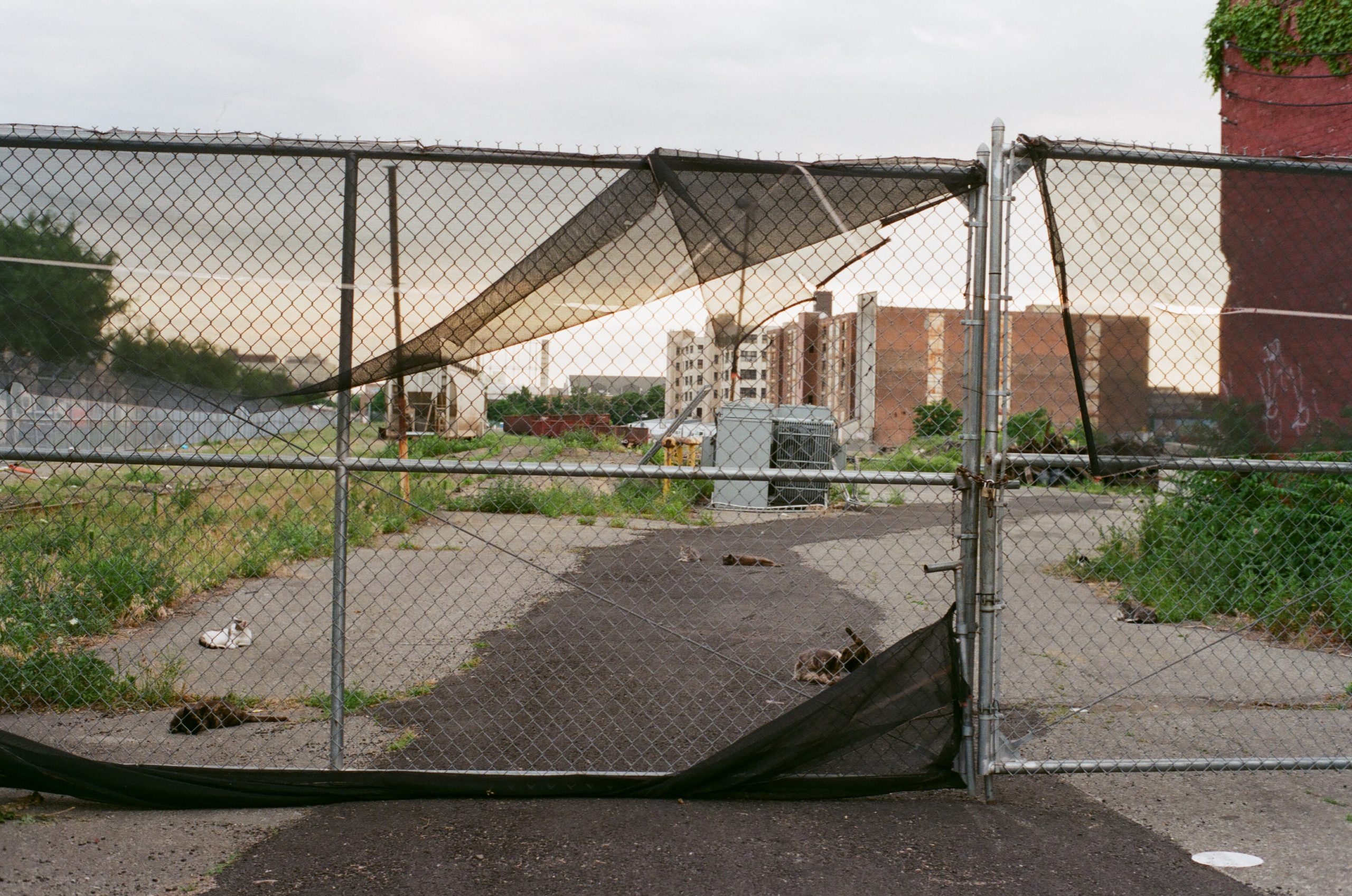
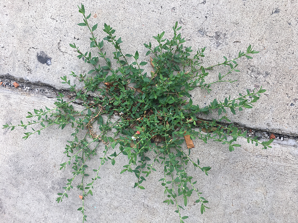
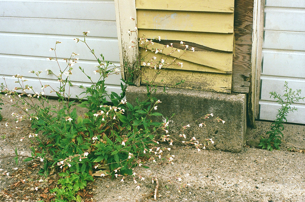
Cities and nature are a pair of ideas that push and pull against each other, in a relationship that lasts over time. The unplanned parts of nature that thrive in urban environments-think pigeons, squirrels, weeds- are often viewed as nuisances, eyesores, pests, or invasive. Or they become almost invisible to us; we have trained ourselves to just not notice the plants that push up through the cracks in the pavement.
Weeds are defined by their context. Weeds grow where you would prefer other plants to grow, or where no plants are intended to be at all. A weed is a plant out of place, that place being defined by the humans cultivating the land. How and why and where we define a plant’s proper place is part of a narrative we write that draws boundaries between nature and culture, between wildness and domestication, and weeds are the plants that blur these boundaries. People often expect landscapes to be moral, and the narratives we write about plants are how we decide what moral questions plants answer.
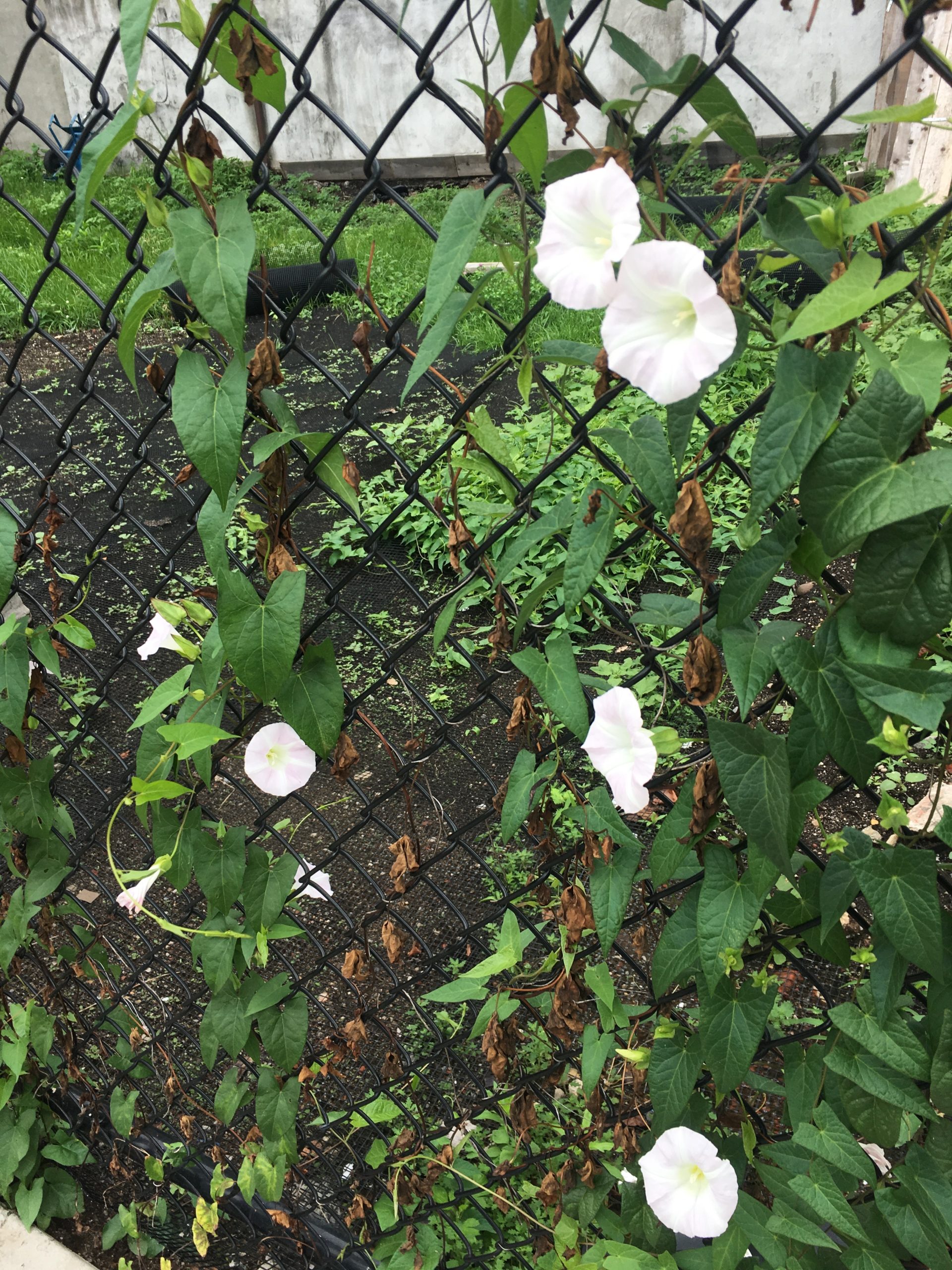
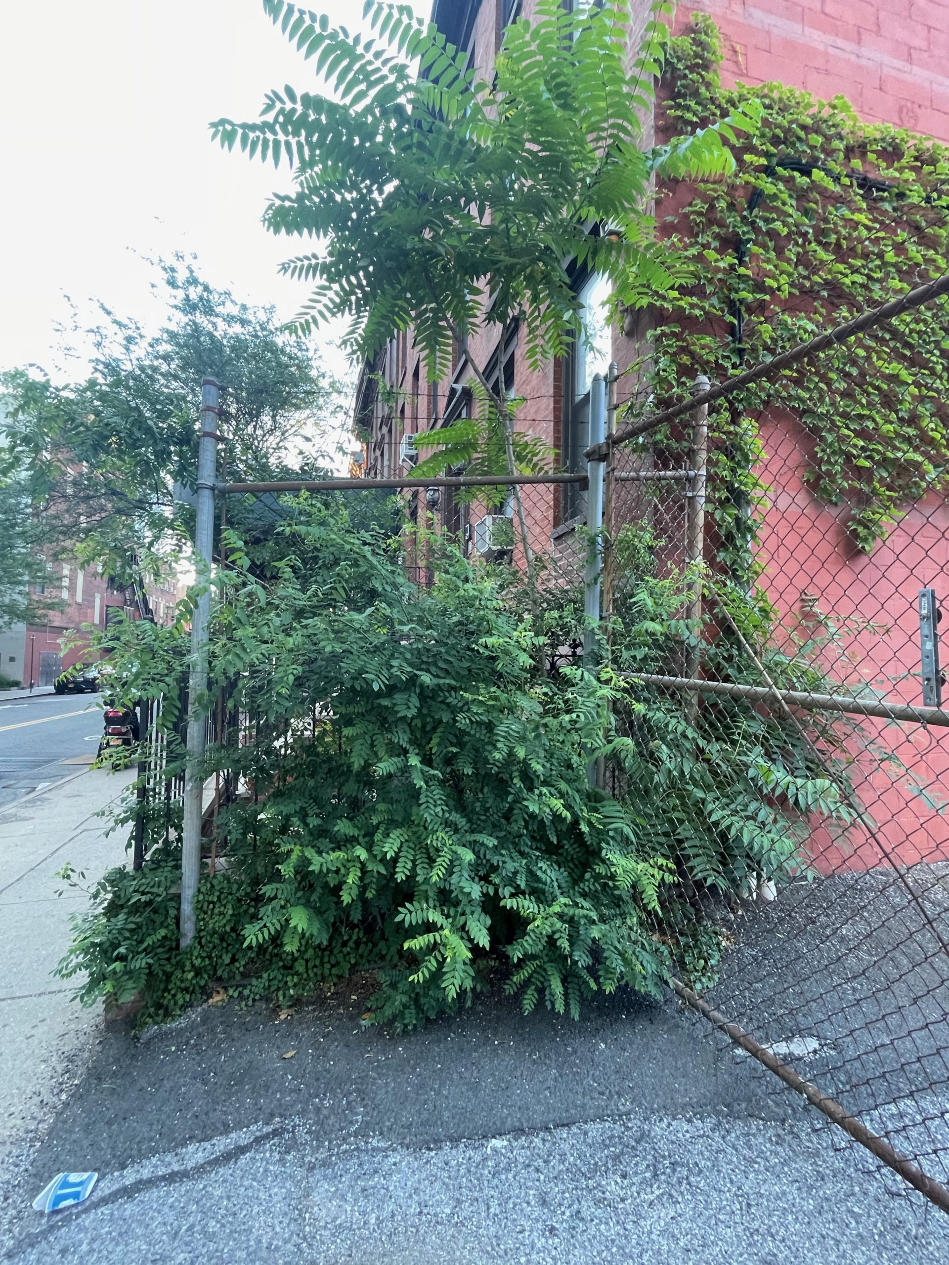
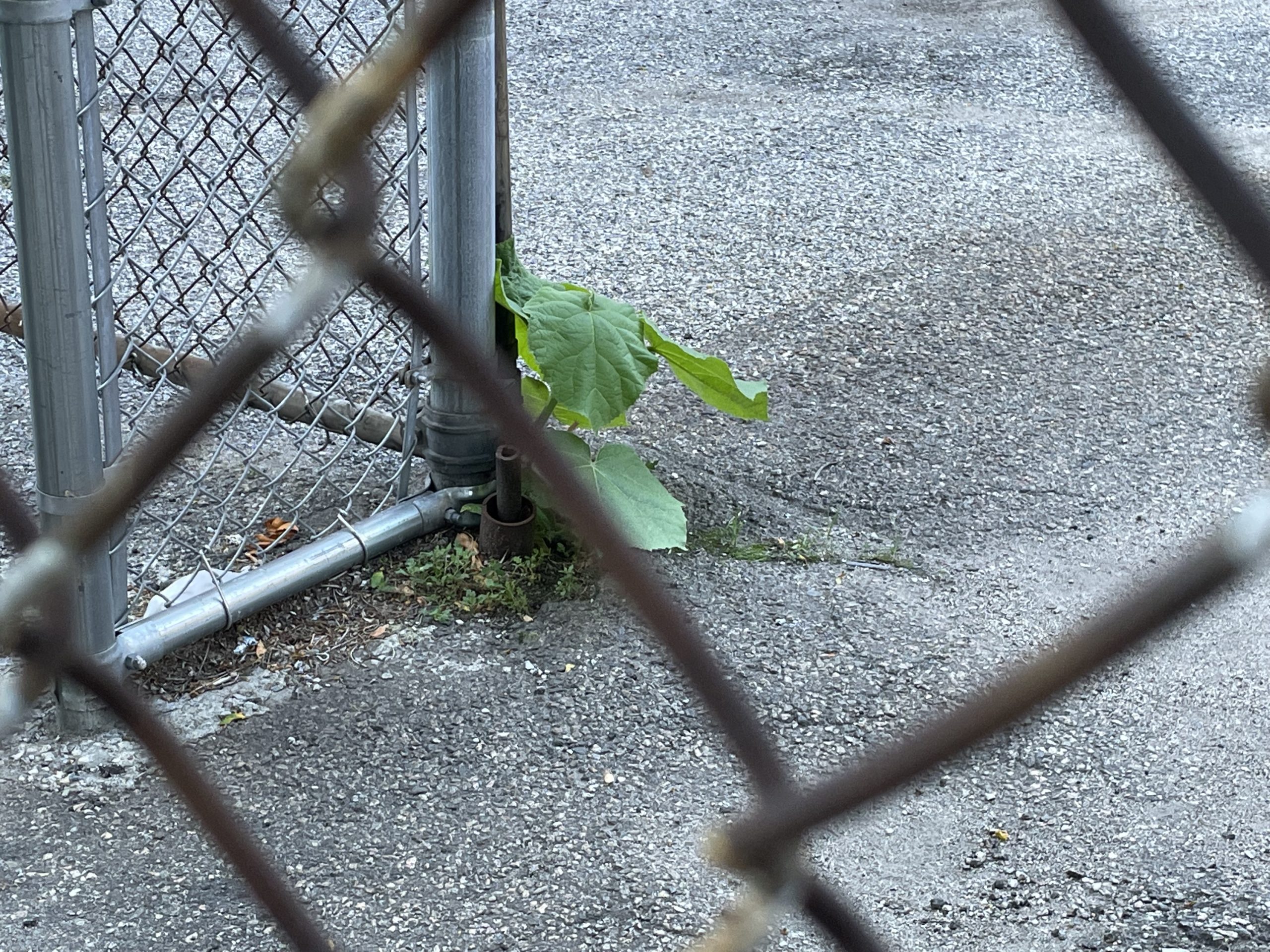
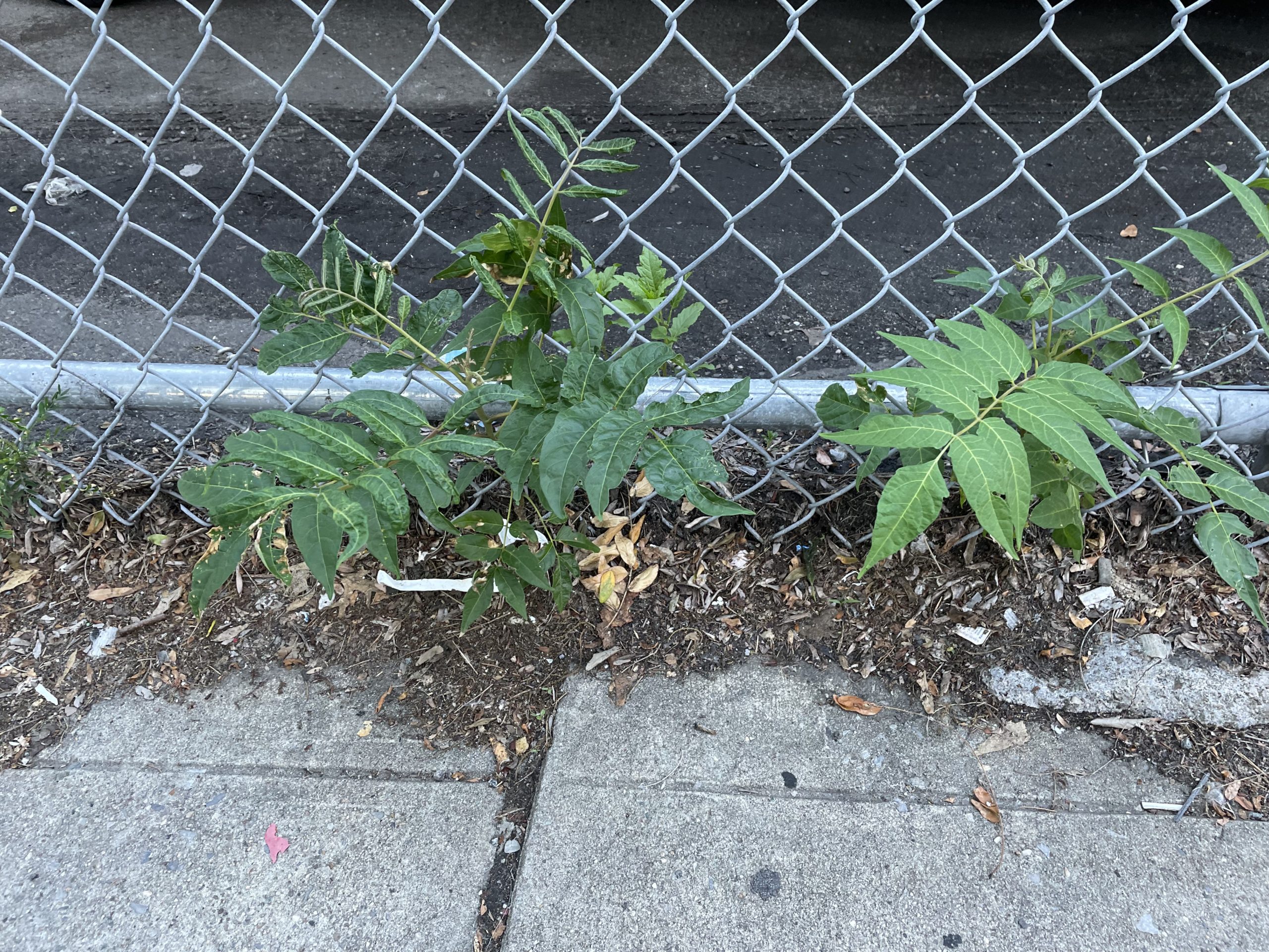
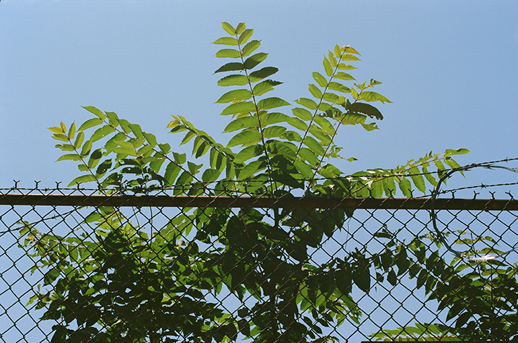
The plants we call weeds flourish in the company of humans. They’ve followed us around the earth, growing where we clear the forests, taking advantage of our transportation networks, enjoying the way we have disrupted settled ecosystems. Weeds benefit from disturbed land, empty lots, and neglected buildings, and they often grow back healthier after we cut them down. Weeds are patient, often waiting dormant for years until conditions are right. Weeds in urban areas are hardy enough to survive in harsh environments, and are often a main form of urban nature.
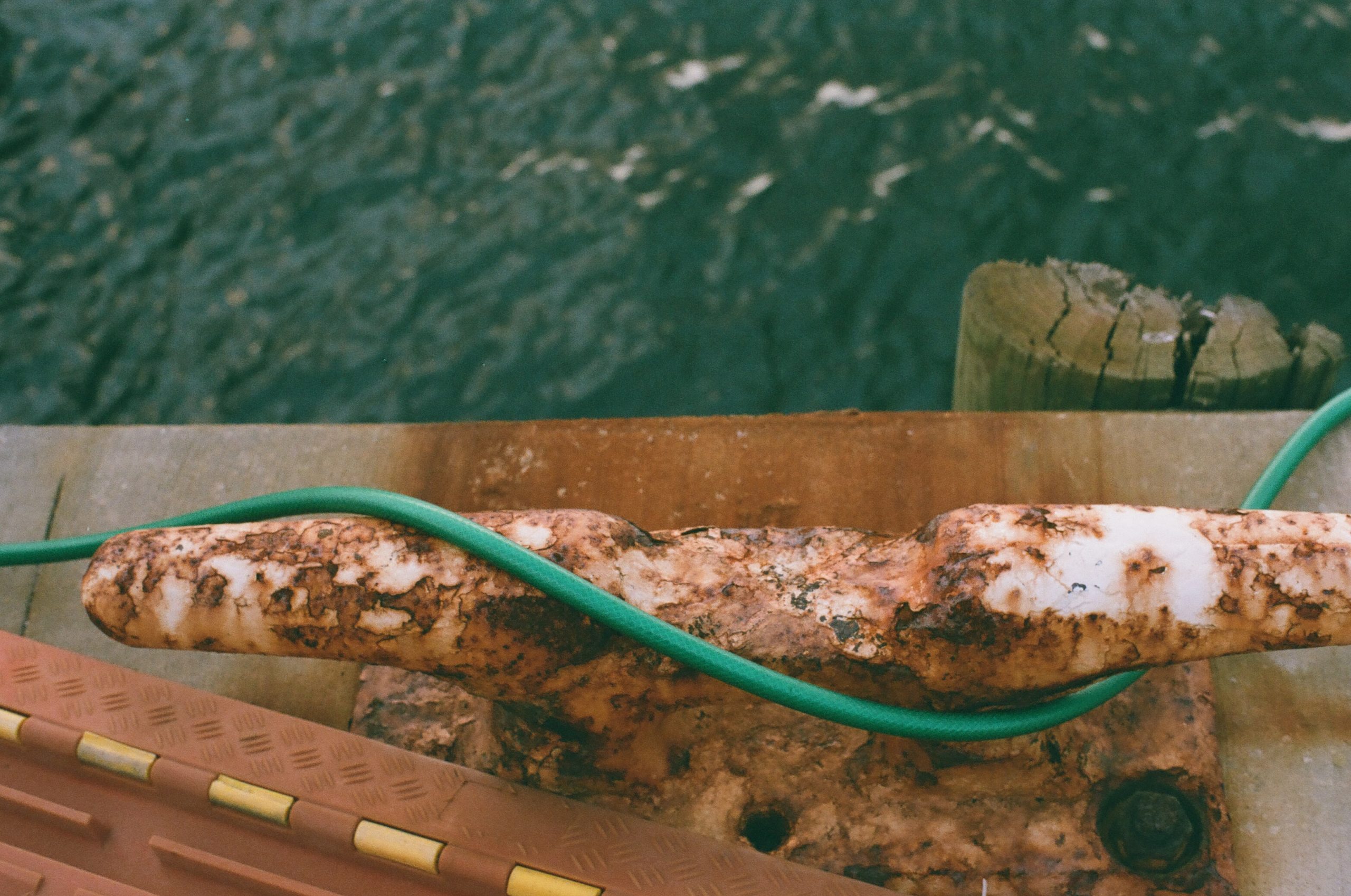
Some of the plants we call weeds in New York City are originally from elsewhere, carried here on purpose by people from elsewhere, or imported as a crop, or a commodity. Some of the plants we call weeds are native here; we sometimes use the word invasive to describe plants that have been here longer than we have. But some of the plants that live here came here accidentally, as a by-product of global trade, as stowaways. Ballast weeds is a term that describes these plants, especially ones that arrived as the waterfront in Brooklyn was industrializing in the nineteenth century. Ballast is one of the main ways humans have reconfigured the earth’s biome, shuffling the earth’s species at will. Ships ballast is extra weight carried below deck to provide stability. These days that is usually weight carried in the form of water; in the nineteenth century it would be whatever was at hand, including soil and rocks taken from one landscape, carried across an ocean to another. Erie Basin, the official terminus for the grain barges traveling through the Erie Canal, opened in 1864 on the southern edge of Red Hook, built by William Beard. Beard built this man-made extension of the harbor on landfill made up of ships ballast. Ships coming from Europe would dump their ballast in the harbor, then fill up with cargo and sail to their destination, literally transplanting one part of the earth to another, over and over again.
A few years ago there was an installation at Parsons School of Design, right across from a class that I was teaching, by the Brazilian artist Maria Thereza Alves. In the center of the room were small black bags filled with plants, all species classified as urban weeds. They were examples of plants that came to New York Harbor as seeds buried in amongst the ballast of shipping vessels, then dumped along the shoreline. Alves is interested in ballast flora as a living record of colonization, the transatlantic slave trade, and the economic foundations that the port of New York were built on. New Yorkers have been remaking the shoreline for hundreds of years, often by creating real estate where there was only water, through landfill, including ballast material. Ballast weeds are a remnant of that history.
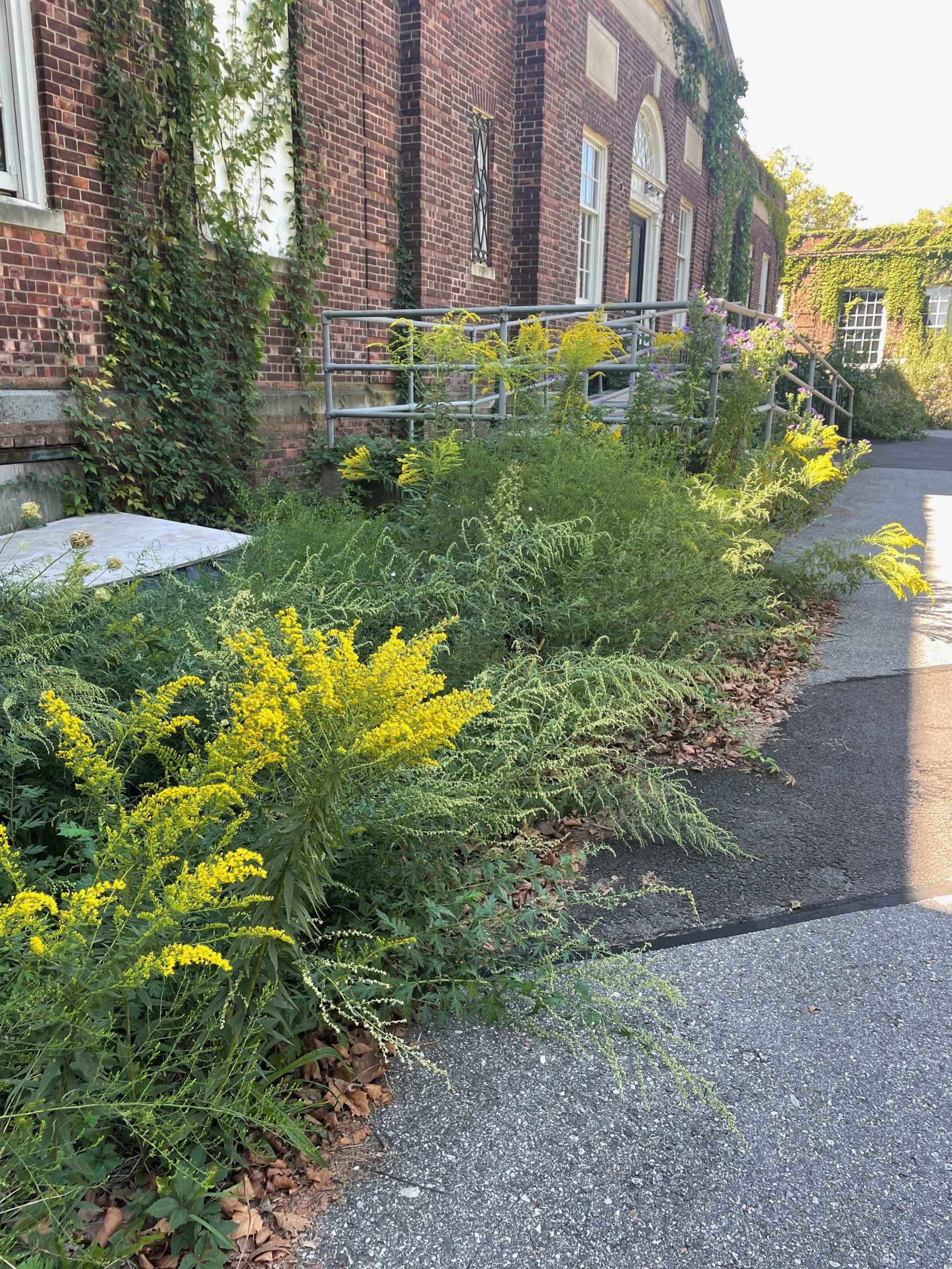
Weeds in New York City offer a wide range of benefits, from helping to absorb excess rainfall, providing cooling in hot weather, to absorbing carbon, removing heavy metals from soil, and producing food and shelter for other species. Some of these benefits are especially important to communities vulnerable to climate change; green spaces can absorb water and slow down floodwaters. Volunteer trees like the Tree of Heaven provide shade in aging industrial places, and can help lower the temperature in the summer.
Invasiveness is a quality lots of urban plants have; people often think that only plants from other places are invasive, and use the words interchangeably. A plant that is invasive is one that spreads prolifically, and can dominate a plot of land. Native plants are understood to be the good kind of plants, and invasive ones, the ones from elsewhere, come in and take over and destroy a landscape. Xenophobia is trendy in gardening groups. In an urban landscape, it’s all about what can survive in the cracks, what can grow in soil that has had chemicals dumped on it, what can take advantage of what is left. Sometimes that means native plants, sometimes that means plants from other places. Sometimes these plants are the only ones that can survive, and by growing there, they are improving the soil to the point that eventually something else can join them.
There’s a block of Franklin Avenue near where I live that contains the remnants of what used to be a huge brewery complex. More recently part of it was used by a spice importer, and the entire block smelled like cumin, turmeric, and cinnamon. Most of the land is covered in weeds, a vast meadow of spontaneous volunteer plants taking up as much space as they can take from the buildings nearby. In the summertime I like to take that route home on my bike and as I coast downhill I can feel the temperature drop, the plants absorbing the heat radiating off concrete. That land was sold to a developer a while back; the spice factory closed and the block no longer smells of spices. But the weeds are still there for the moment and I plan on enjoying their benefits while I can.
The first thing I usually do when researching a pamphlet is go for a walk.
Sometimes I’m not quite sure where to go or why I am there; sometimes I am a little uncomfortable because I don’t know where I am exactly. Sometimes I’m just walking. I think part of the reason I started writing about neighborhoods was I wanted an excuse to explore different places, and spend time walking and biking in places, and being able to justify it as work.
(Is walking work though? Does everything have to be productive?Maybe I’m wrong about that, maybe walking is just walking.)
I like the pace of walking, slower than biking, much slower than in a car or bus or train. Slowing down time to the pace of a human. I like the unfolding of a path at eye level, the way the path changes as you move, the way your experience in a place gets layered on top of the noise in your head, the thoughts you sort through, the sound of your surroundings. I ruminate while walking, I sort out knots in my head while walking. I like that even in places I walk through on an almost daily basis, my perception of the landscape changes each time I walk through it.
Walking in green spaces is something many of us are doing more of this year; it might be the only good thing about our apocalyptic reality. Many people have been finding new routes or times of day when they like to walk, and exploring new parks they haven’t been to before. Nerdy hobbies like birding are more popular where I live this year; people are spending more time paying attention to the details. Birding is about paying attention, usually while staying still, and listening. Walking is about paying attention in motion, slow motion. One leads to another quite naturally.
I walk to think, and to calm my brain, and to see what has changed and what is the same and because it is soothing. I write in my head before I type it out, and walking is part of the process. (So is running. So is biking. Writing is easier in motion).
In this way walking is like reading, like the lapses in time that reading creates, the landscape passing in time and space, the thoughts in your head passing in a parallel way. You can dip in and out back and forth between these two modes, being present in a landscape, being caught up in your thoughts. Time passes without you noticing, until the light begins to fade or the temperature dips and you realize it’s time to go.
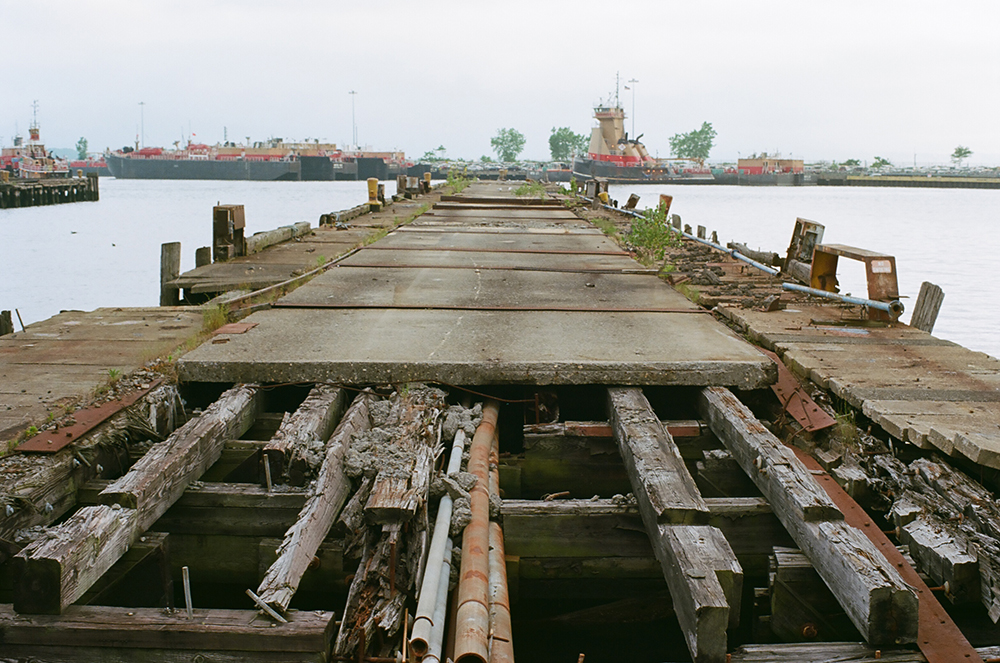
I’m working on a new pamphlet that I hope to have mostly wound up by the end of the year; it’s on Canarsie, and the pier and the parks and the single-family mid-century housing and the marshes of Jamaica Bay and all of the shifts that have happened over the last three hundred years. So in doing that, I’ve been walking in Canarsie Park and the nearby pier. That’s where these videos are from. I like to think about those layers when walking in a place, in the back and forth between the present and the past, between the nature and the culture.
Earlier this year I decided that the walks I have been doing for subscribers in person were going to have to be online due to the pandemic. (Are you tired of that phrase due to the pandemic? I am). This spring in New York City, it just didn’t seen right to gather in person, even outdoors. Over the summer it seemed like outdoors was safer than we thought at first, and I think I could have done in-person walks at this point, but the problem that then occurred to me was that the places I wanted to walk in were relatively far from the beaten path, at the end of the subway line, and far from the neighborhoods where most people who would come to the walk live. Which meant taking transit, something that most people were/are nervous about. I didn’t want to ask people to do something they were uncomfortable with to join me on something that’s supposed to make us feel better.
Was that the right choice? At this point I think so, and in any case what I’m doing instead is creating a record of walks, which people can enjoy at a distance, and which can engage way more people in all likelihood than would be willing to come with me out to Canarsie on a November afternoon. More people can see what this place looks like. It was warm this Saturday and a beautiful day. While I was walking in Canarsie many others walked in the neighborhood parks and green spaces. Others walked to do errands and pick up groceries. My walks mirror all the other walks people are taking.
Does recording while walking change how I walk? I think it does, I think I am more present than usual, though I spend too much time paying attention to the camera more that the landscape, thinking about the recording of the landscape instead of losing myself in it. And I walk much, much slower than usual, trying not to bump the camera too much, looking around me for what is visual, what is interesting. It changes my experience of my walk, but it also makes it possible to bring it to others. Other people I pass on a walk notice me more, and register I am filming, sometimes veer away from me, sometimes nod.
And of course this is all about walking alone. What about with others? Remember walking with others? How to do that? More soon.
I am (finally) finishing up a pamphlet mailing, ready to start the last one for the year. Lockdown delayed everything so I’m about a month and a half behind, but I’m trying not to think about that. This one came out nice, and is about this place:
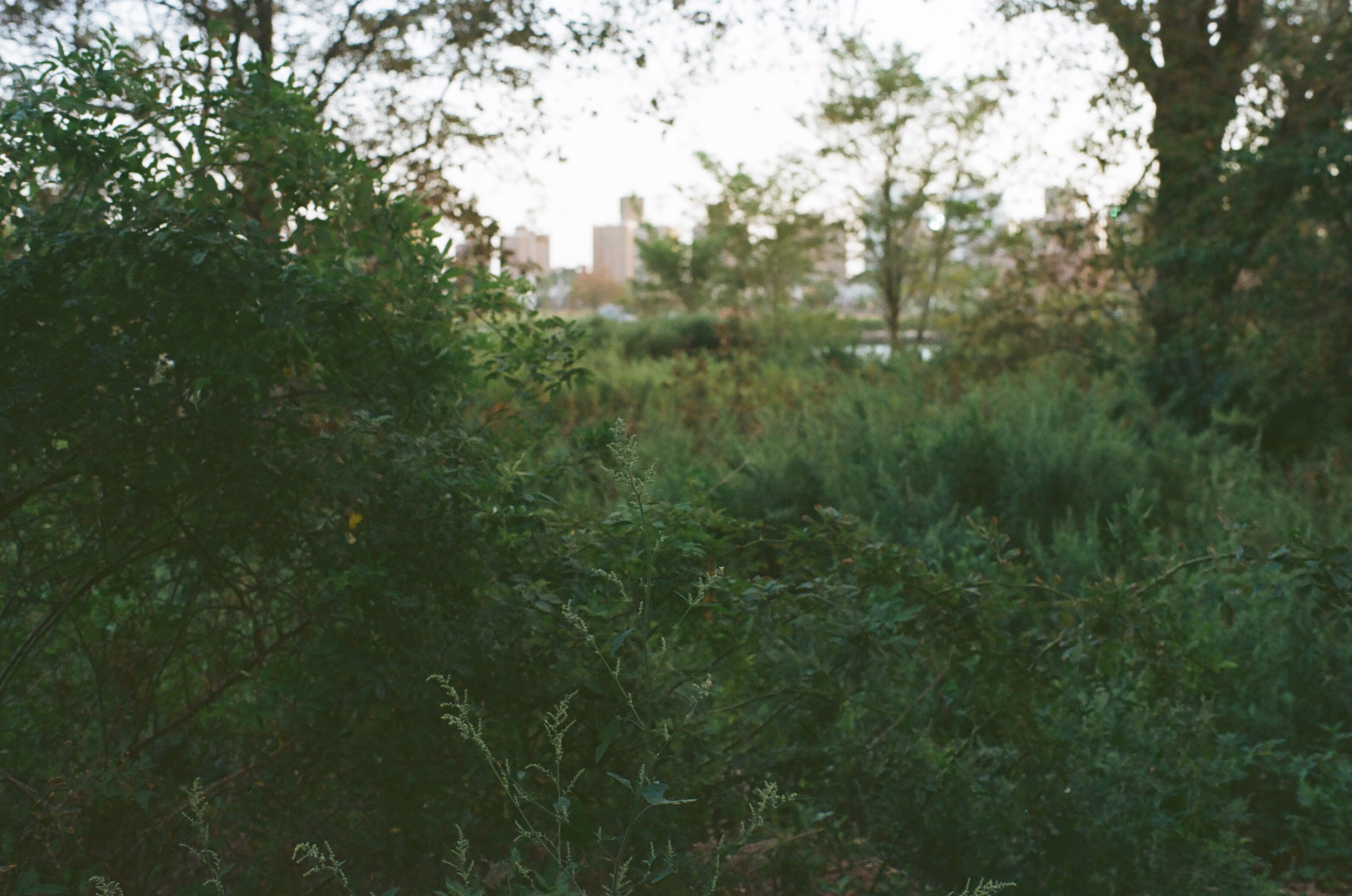
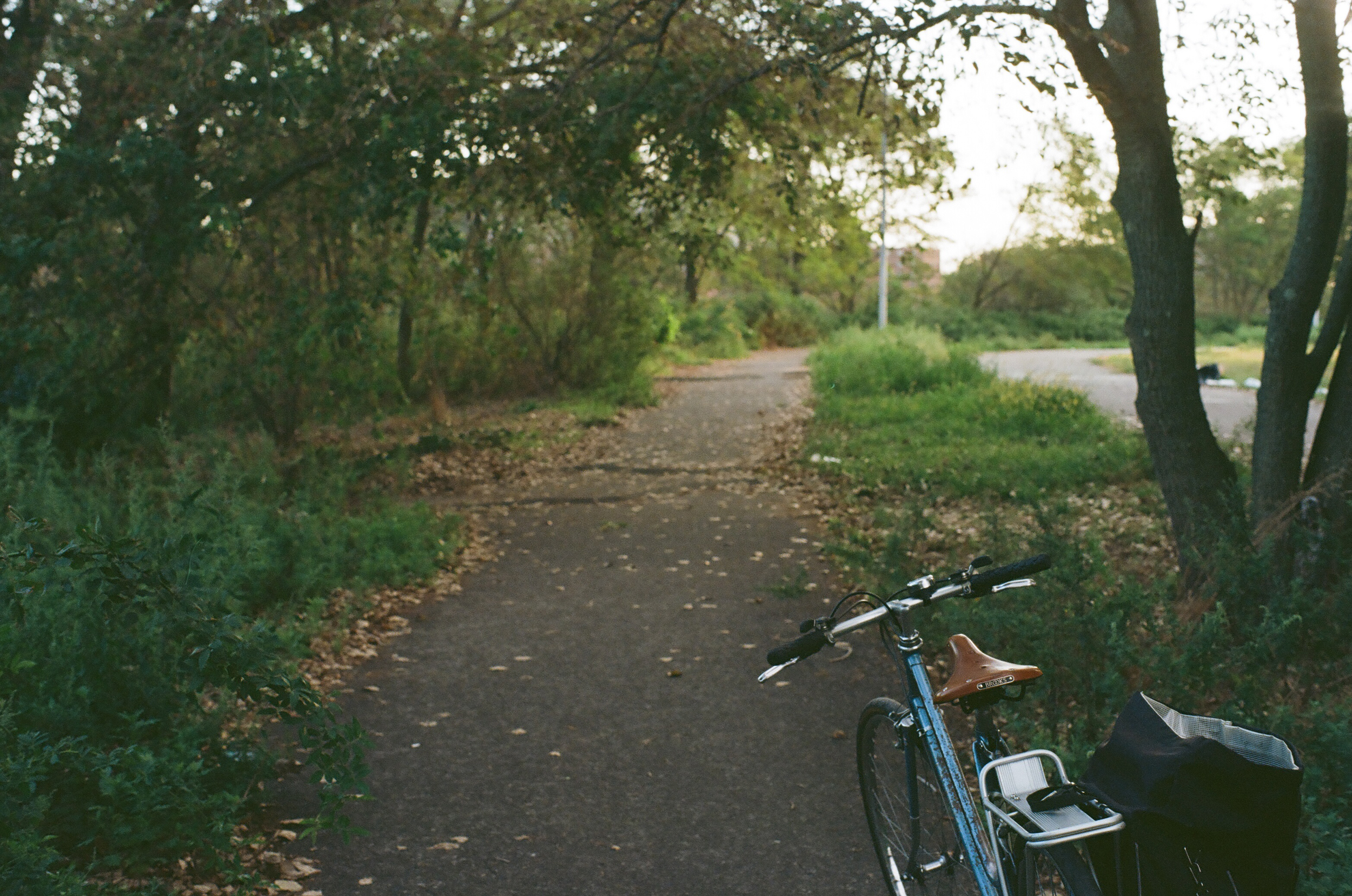
Which I visited a lot this past summer. This place is Coney Island Creek; I hadn’t been there before and this pamphlet was my reason to explore that southwestern end of Brooklyn. My usual route took me down the bike path on Ocean Parkway, straight through the area the city is now calling the Ocean Parkway Cluster, past women in smocks and old men smoking on the park benches that line the oldest bike route in the country. The Ocean Parkway Greenway is very flat, on the outwash plain of southern Brooklyn, running next to a wide speedway of a road, full of people revving their engines and drag racing on a Friday night. This road has endless stop lights that most cyclists blow through once they get a sense of how the traffic works, but on a busy day with lots of cross traffic it can be slow going.
Getting to Gravesend and the entrance to Calvert Vaux Park, the park I visited most, means biking down from Prospect Park and hanging a right onto Avenue T, through a Syrian Orthodox Jewish community with some very nice large single family houses, across McDonald Avenue into Gravesend, past Stillwell Avenue and onto 26th Avenue, through a neighborhood full identical two story brick houses with their white painted wrought iron gates. There’s an Italian ice shop on the corner of Cropsey Avenue that’s nice to stop at on the way home. Follow 26th ave to the end, where there’s a new protected two way bike lane on the service road next to the Belt Parkway; after a left it’s only a block to the entrance to Calvert Vaux.
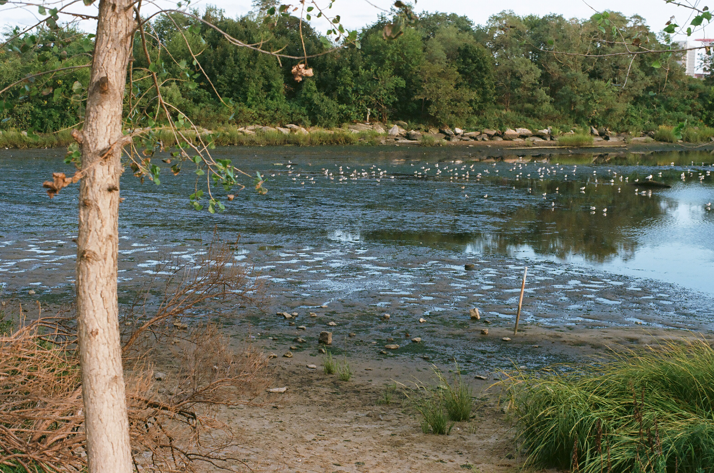
Calvert Vaux is my favorite of the three parks that line the mouth of Coney Island Creek. It has several sports fields and beautiful waterfront views. All of them are underfunded and neglected; the trash doesn’t get collected regularly enough and the weeds were out of control by August. But I like the sense that you’re out on one of the far corners; I like the weeds taking over the place.
The sky is enormous here and you are far from Manhattan.
There’s a marshy mudflat that is full of shore birds and there’s a lot of good birdwatching to be had. The mouth of the creek is also where several boats have been sunk, and the birds like to use their rusting hulls as perch to look down from for a snack. My usual walk started near the shore opposite the dirt parking lot and went in a circle, parallel to the waterline, out to the end and back up around, facing the Verazzano Bridge in the distance, then back again. You can bushwhack your way through the weeds to the water. People fly drones. Loud barbecues happen on both sides of the shore. It’s a great summertime park.
The park’s named after the park architect Calvert Vaux, who was Frederick Law Omstead’s collaborator on Central and Prospect Parks. He drowned here in Gravesend Bay in 1895. Some say mysteriously? The shoreline at that time was different; most of the park is constructed on landfilled soil and sand excavated for the construction of the Verazanno-Narrows Bridge nearby, so it hasn’t been here for very long, only since the middle of the last century. How much longer will it be here?
It’s strange now to think about this summer, now that it’s dark early. We’re entering a season that people are dreading, between the election and the rising virus tally. I have started carrying my heavy bike gloves with me when I leave the house in case the wind picks up and my hands start to freeze. I remember the feeling of riding back in in twilight, riding fast and enjoying the breeze on my back, and I’m not sure what happened between then and now.
The pamphlet is about this park, and the other two parks, and the creek and where is goes and when it got covered over, and beachfront property and what I think a beach is, and many other things at the same time. I think it turned out quite nice, thank you.
You can get a copy of the new pamphlet here; there’s more to come about Coney Island Creek soon enough. In the meantime, I would like to collect maps from you. Where did you walk this summer? We’ve all been walking outside more than usual this year. What’s your favorite route? What do you like about it? Would you send me a picture and a map? I’ve got an idea. You can send me them at sarah at sarah nicholls dot com. Thank you.
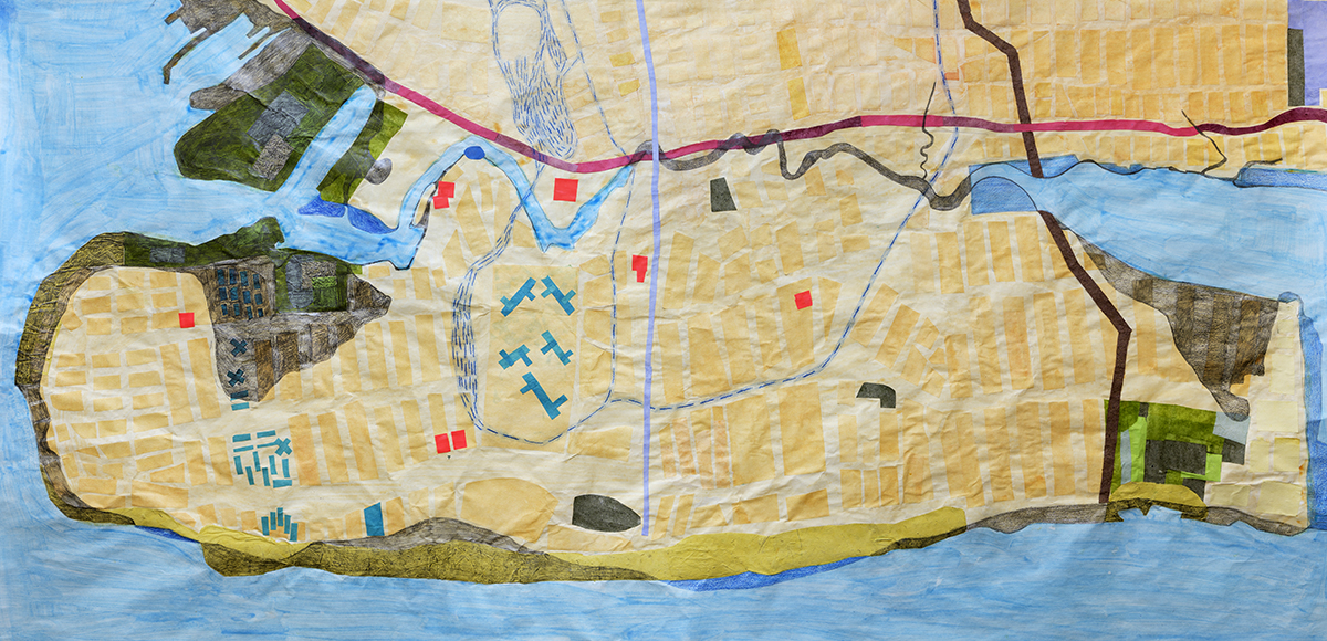
I was going to make three pamphlets, all three having something to do with maps.
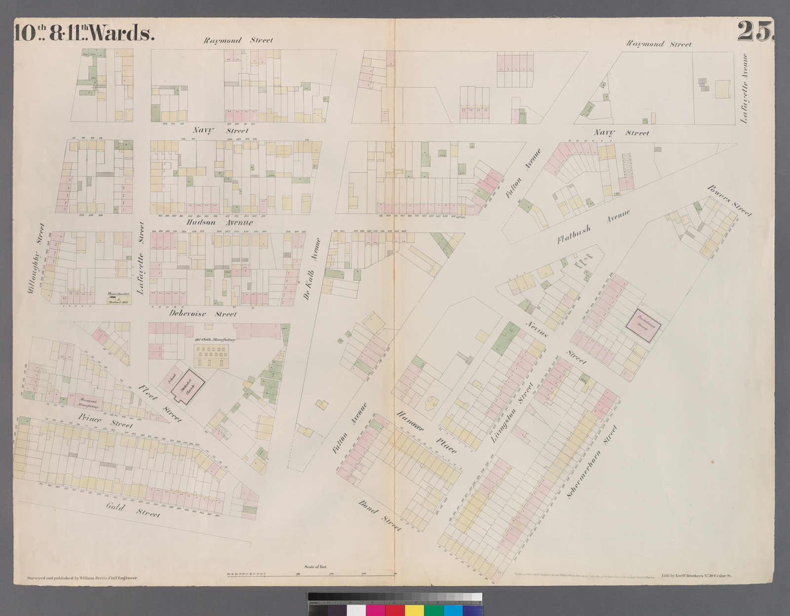
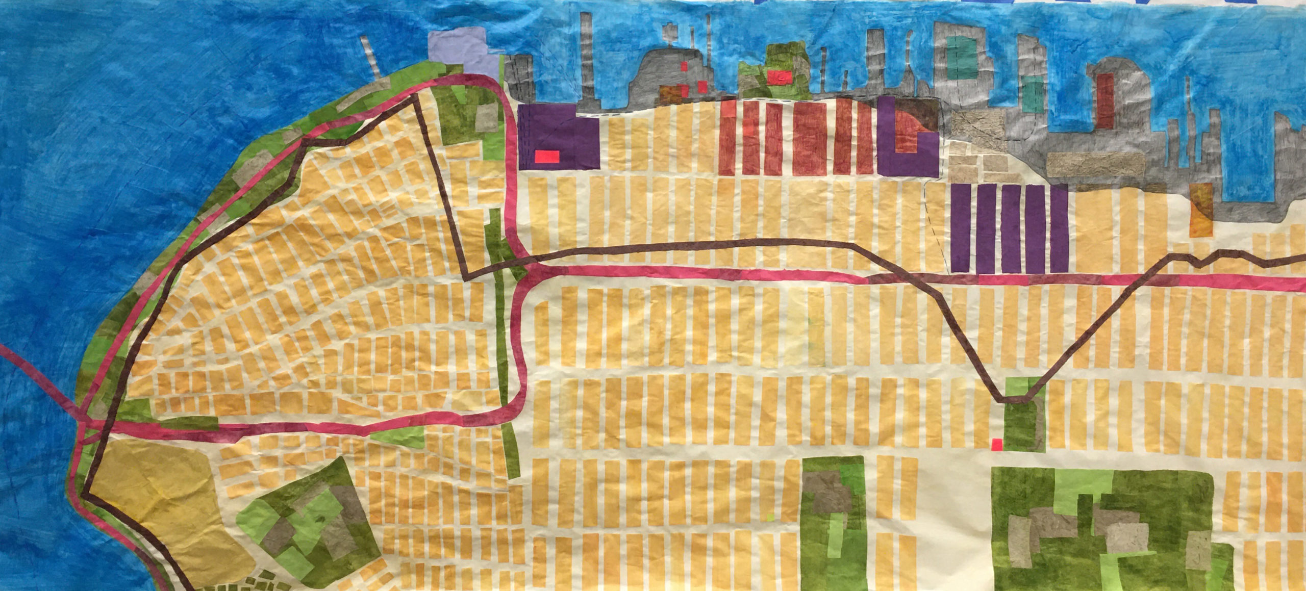
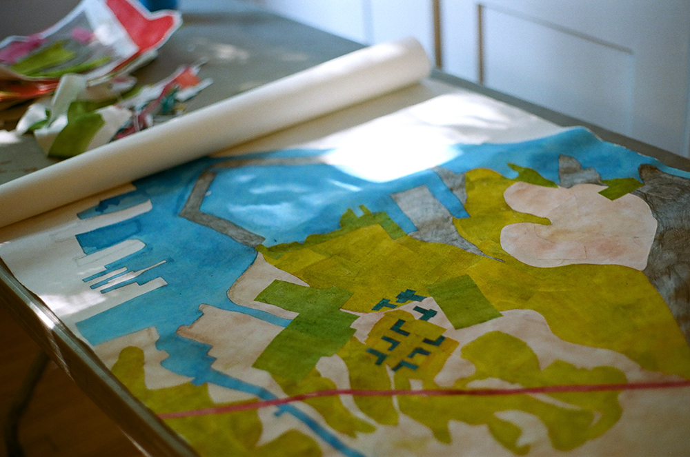
These maps would be of the Brooklyn waterfront, present, past and future. I had made some large scale maps last summer, in a residency on Governor’s Island through Works on Water.
I wanted to use the idea of storytelling through mapmaking to talk about the different layers in these maps. I also wanted to continue making these maps, finish the coastline, complete the circle.
I was going to walk along the waterfront with friends, and have events that brought readers to the places I wanted to write about.
I was going to have my act together and send out the spring issue in spring, the summer in summer, etc.
I mean, some good ideas, right? But we all know what happens with well-laid plans. The collapse of society-as-we-knew-it got in the way of getting things out on a schedule, of access to studios, of gathering together in a landscape.
But other things happened as well: people discovered a new love for the post office, of all things. People walked outside, and discovered parks and green spaces near them. People walked and biked and realized that roads could be used for something other than storing private cars and driving.
The city I had been living in was being replaced by a new version and parts of that process have been horrifying and parts are beautiful.
This spring I made my first virtual walk, a video that accompanies the “spring” 2020 informational pamphlet, The Morse Dry Dock Dial, with a map for those who would like to follow along. I realized that a video of a walk could bring more people into the landscapes I was interested in than a live event could, and that the readers who live elsewhere were able to participate in this version of the walk. I got excited.
This fall I am in residence at BRIC, and I started off working on the map of Sunset Park, the neighborhood I walked through in the spring, the neighborhood my mother’s family is from.
These maps are bigger than I usually work, and try to show the past coastline, the future flood zones, the industrially polluted brownfields, the historical markers, the green spaces, the rezoned neighborhoods, the Moses-era highways, and the native pathways that make up the coastline. They are made up of paper, some machine-made, some handmade, from fiber that relates to the coastline, either by history (cotton, imported into Brooklyn warehouses from southern plantations; flax and hemp, grown by colonists) or by ecology (urban plants harvested from the landscape, processed into pulp). Did I mention I was going to learn how to make paper this year? I learned how to make paper this year, in a much more DIY way than originally planned. No studio access, no in-person classes, but I’ve made some paper.
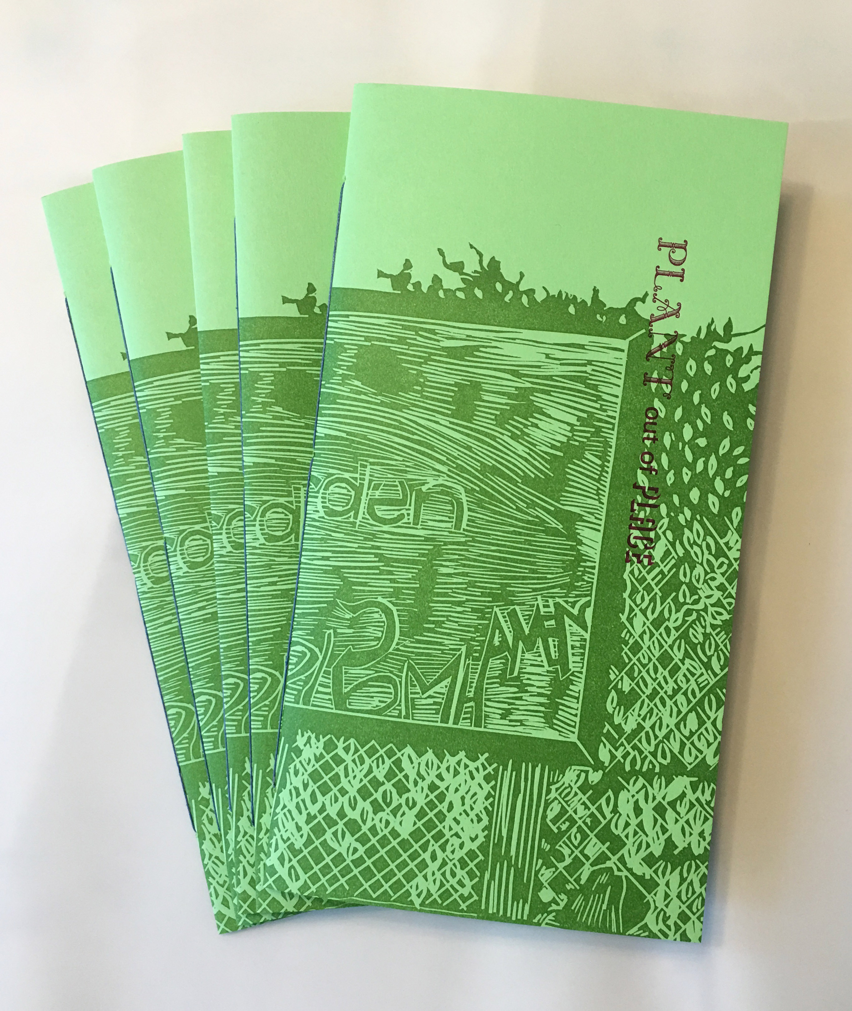
I made another pamphlet. It’s about weeds and people and how both travel around the world together. That’s going to be the basic idea for all the pamphlets this year, in different ways. This first one is about Red Hook.
2. I took some people on a walk in the place the pamphlet was about. We had a perfect day and spotted tons of different species of weeds, and everyone listened patiently as I told them all about landfill and housing and nineteenth century industry. Thank you for coming along!
3. I am learning how to identify the plants that grow between the sidewalk cracks. Right now the weeds here in NYC are BONKERS. My favorite local news source has done multiple stories about spontaneous outcroppings of poison ivy near public thoroughfares. My personal favorite batch of weeds right now is by the Greenway in Red Hook; it’s mostly taken over one of the lanes and gives shelter from the July sun to the assorted cats, pigeons, and people that live there.
4. My plan to spend the summer biking and taking pictures is going swimmingly.
5. I was a resident on Governor’s Island for a month in June in one of the houses in Nolan Park, hosted by the artist collaborative Works on Water and the publishing platform Underwater NY, two organizations that both focus on art based on and with and around water (thanks guys it was great!) Governor’s Island is one of my favorite places to be and see and it was a fabulous time. I worked on maps of the past, present, and possible future Brooklyn coastline. I will maybe make a separate post about them? I think I will continue on in this vein for while, as it stirred up some ideas.
The starting point was to think about a map made in the nineteenth century by Thoreau of the Concord River, and use the map form as a way of mapping historical sites, personal landmarks, and the physical landscape all at once. It grew a bit from there.
My laptop is making my lap sweat so I think I will end this here. Stay cool in whatever way suits you.
Across the street from Floyd Bennett Field are the remnants of an earlier piece of history, a bit of beach called Dead Horse Bay. Before there was an airport here, this piece of land was a separate island called Barren Island.
From the middle of the nineteenth century through the early twentieth, this was the remote area of town where New York City shipped its garbage, to be transformed through a process known as waste reduction. Factories on the island basically boiled animal carcasses and other organic materials down into grease, oils, and fertilizer, substances that could be reused. Dead Horse Bay refers to the dead animals brought here on barges to Jamaica Bay to be boiled down into new industrial products. An entire community lived out here, isolated from the rest of Brooklyn, working in the factories that dealt with the inevitable by-products of city living.
After the waste reduction factories were closed to appease communities living upwind, there was still a landfill on the island, a landfill which closed in the thirties when Robert Moses evicted the remaining inhabitants and bulldozed their homes. The topsoil cap on this landfill burst in the 1950’s, and decades of trash started leaking into the sea.
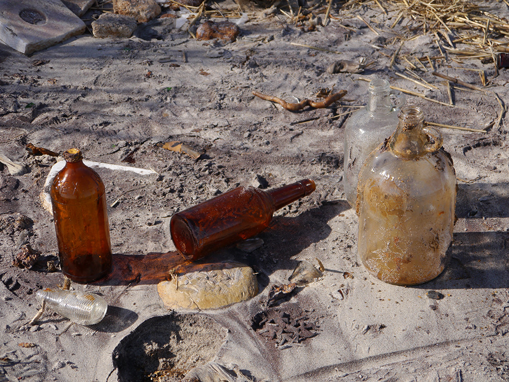
Today scavengers flock to the beach to collect things; they find a small beach covered in old bottles, stockings, leather shoe soles, an engine or two, the occasional boat. You can hear the tinkling of glass as the water laps the shoreline.
There’s a debate online about whether these people are removing history, taking archaeological items of interest from a National Park, or helping to clean a beach. Though it seems abandoned and neglected, this bit of land is technically under the auspices of the National Park Service, and it is technically illegal to take things from a National Park.
Not that anyone seems to be paying attention. And there are streams of people taking old glass bottles and carts of random finds.
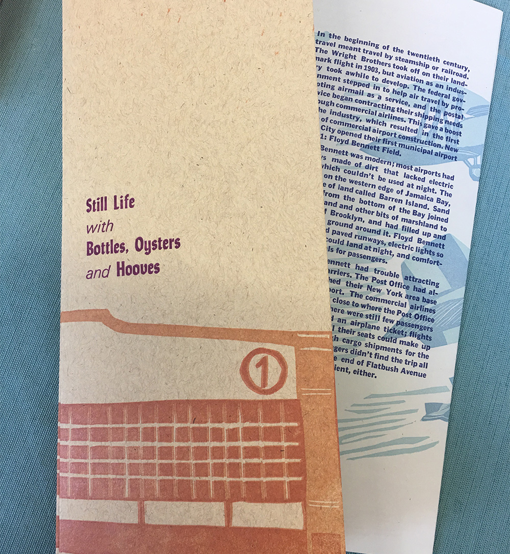
Would you like to know more? Luckily, new pamphlets are here, just in time to answer all your lingering waste reduction questions. Many have gone in the mail already, and more are about to go out soon enough. I hope you enjoy them, I think they turned out quite nice. The first pamphlet of the year covers Floyd Bennett and Dead Horse Bay, and I hope will be a decent introduction to Jamaica Bay in general.
And more importantly, would you like to see these places for yourself? Next Sunday, May 21st I’m going to do a walking tour of Dead Horse Bay and Floyd Bennett Field. We’ll look at some old airplanes and listen to the glass tinkle. Email me at sarah at sarah nicholls dot com to RSVP so I know that you’re coming. We’ll meet at the 2 train station on Flatbush to take the bus down Flatbush together at 11am. I hope you can make it.
Everything is coated in ice, I haven’t run regularly for weeks, there’s always more snow in the forecast, and I have a serious issue with that groundhog.
And why haven’t I been blogging? Too busy furiously setting type. And distributing. And setting. And distributing. Repeat. Repeat again.