Paths to the Shore
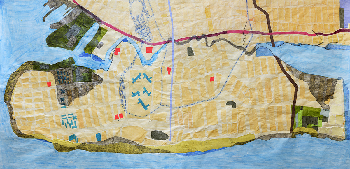
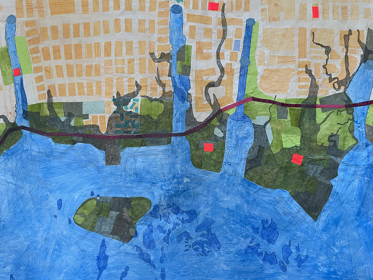
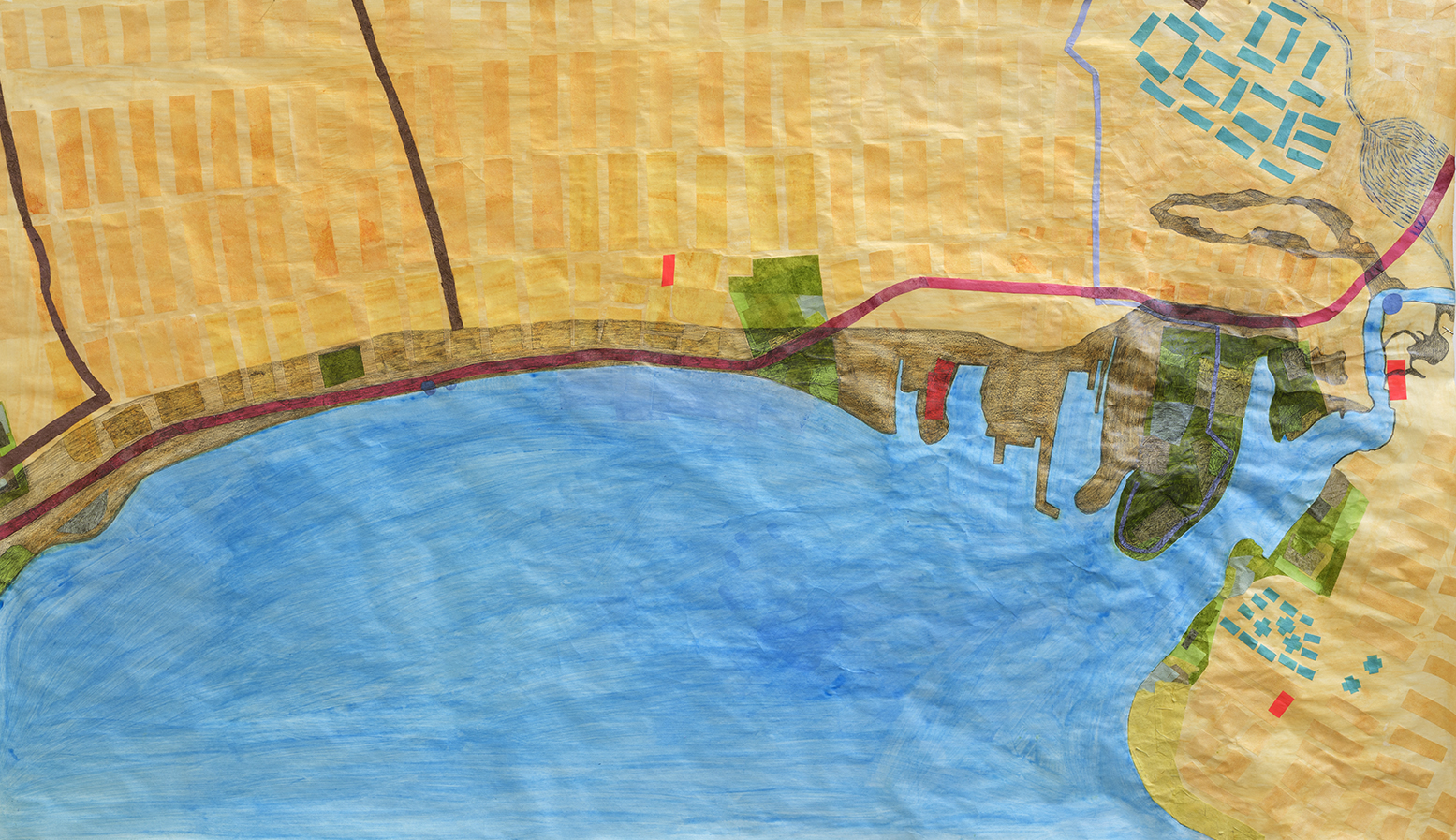
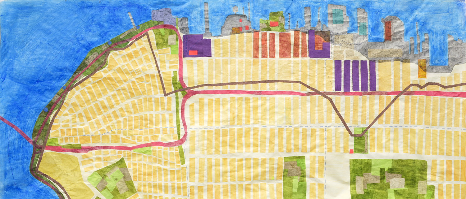
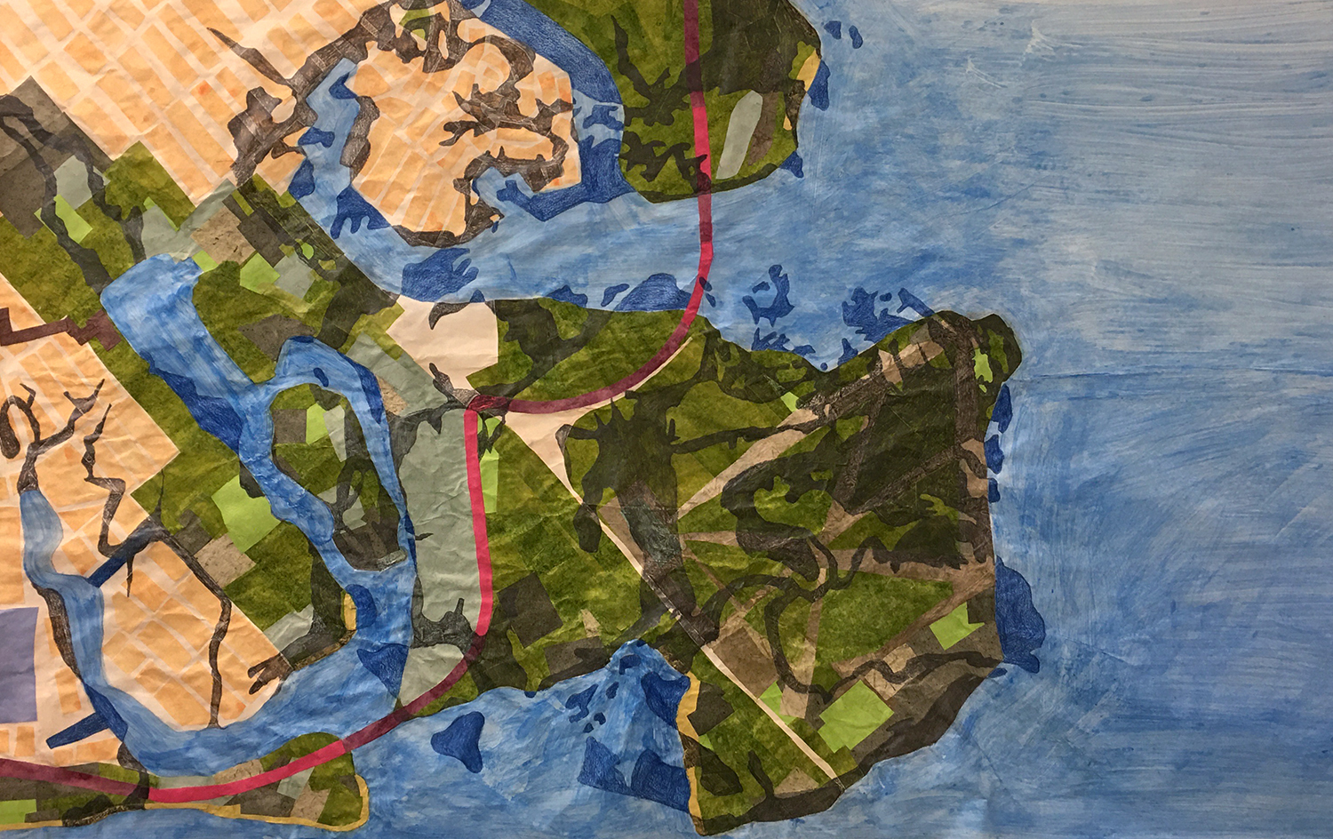
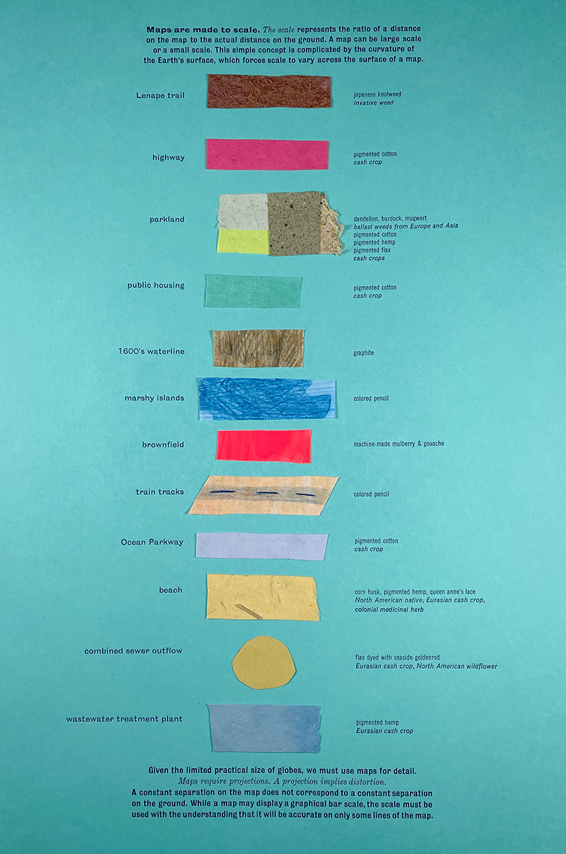
In the fall of 2020 I participated in a studio residency at BRIC in downtown Brooklyn, where I continued a project I had begun the year before in a residency on Governor’s Island, hosted by Works on Water and Underwater NY. I made a series of large-scale handmade maps on paper of the past, present and future of the Brooklyn waterfront. This body of work was inspired by a seven and a half foot-long map made in 1859 by Henry David Thoreau of the Concord River. It combines the original 1600’s coastline, the current waterline, highways built in the twentieth century, native pathways to the coast, rezonings, former industrial sites, public parks, public housing projects, brownfields and Superfund sites, among other points of interest. My goal was to layer past, present, and future together.
At the end of 2019 I had written a grant to the Brooklyn Arts Council requesting professional development funds to learn how to make paper by hand, thinking that I could take classes in person at Dieu Donne papermill, and learn how to make paper from weeds that I harvested from the waterfront. I received the grant, and then promptly after that the city closed down for COVID. Classes were out of the question, but I used the funds to buy books and videos and online workshops so I could teach myself how to make paper in my apartment, and the result was a variety of papers that I used in the second round of maps, bringing the material substance of the waterfront into the work.
There is also a full process video here: https://www.sarahnicholls.com/portfolio/process/

