GCP Walk: Kew Gardens to the Queens County Farm

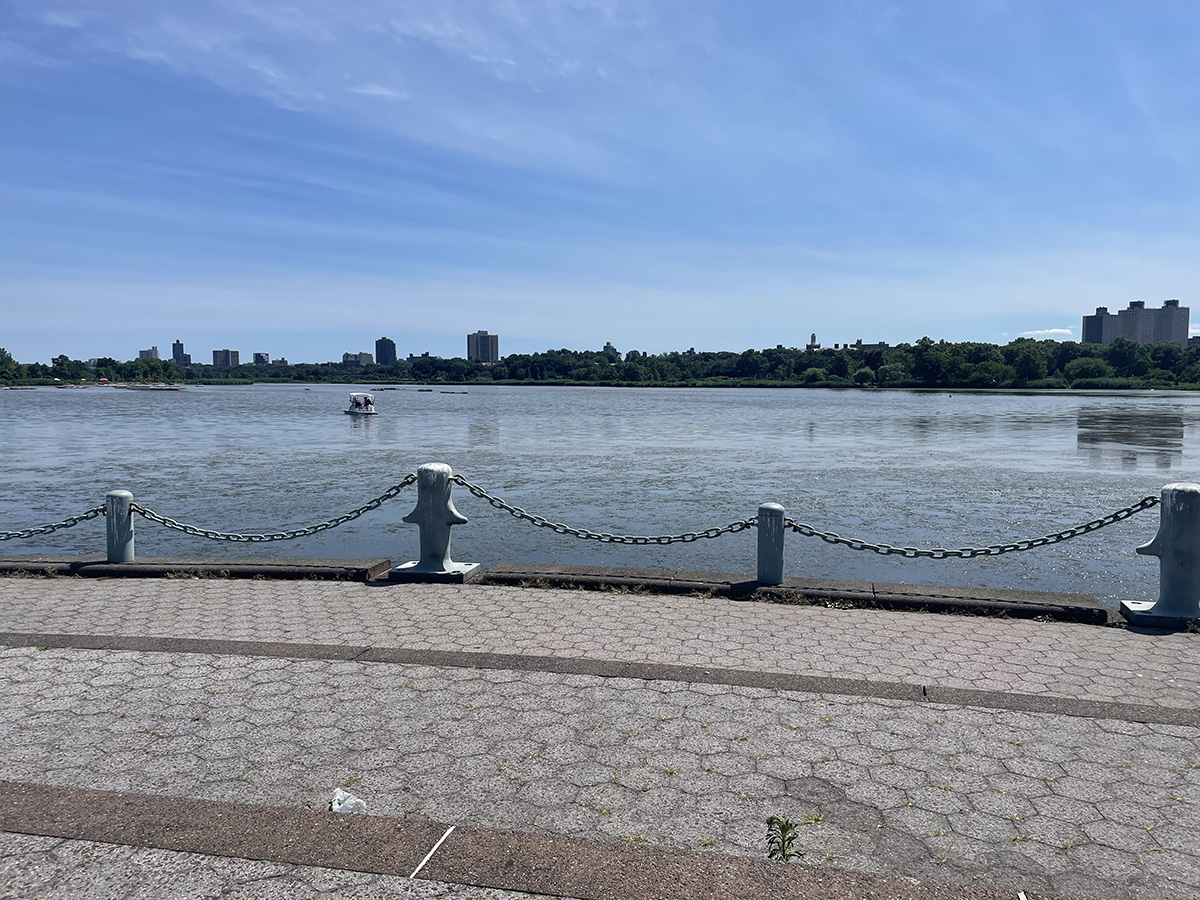
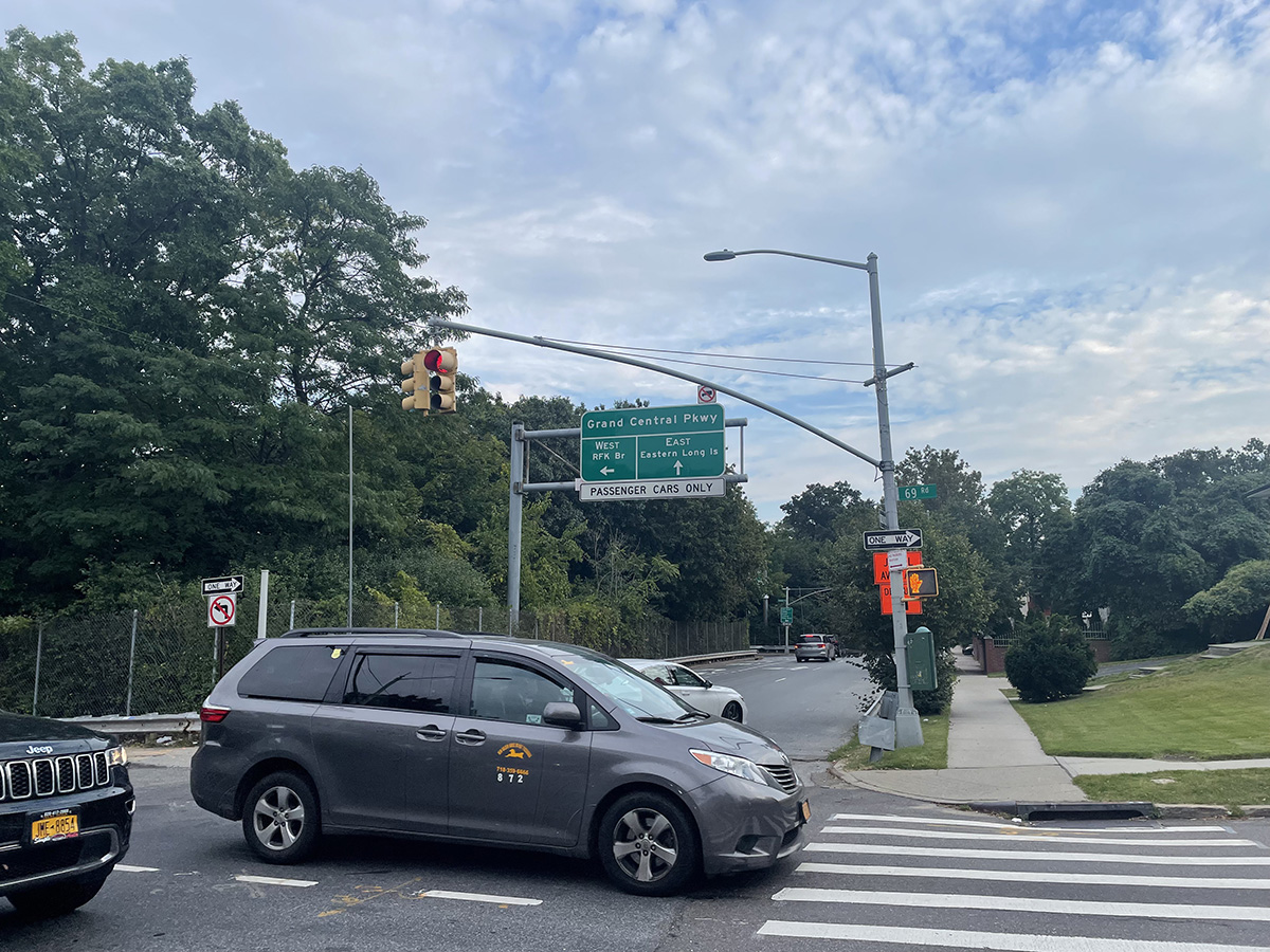
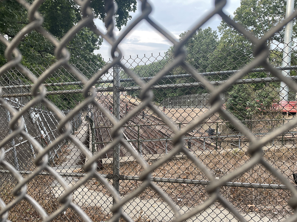
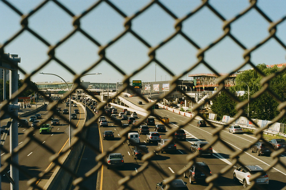
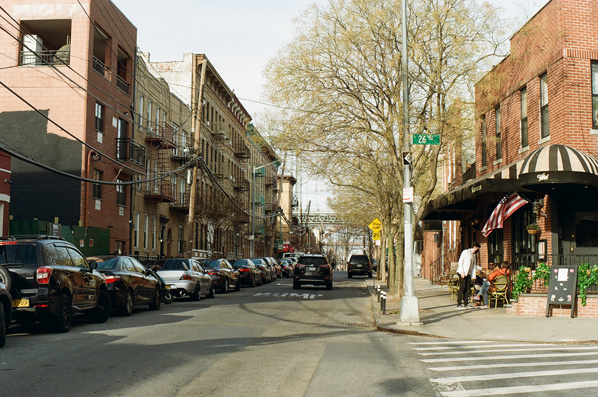
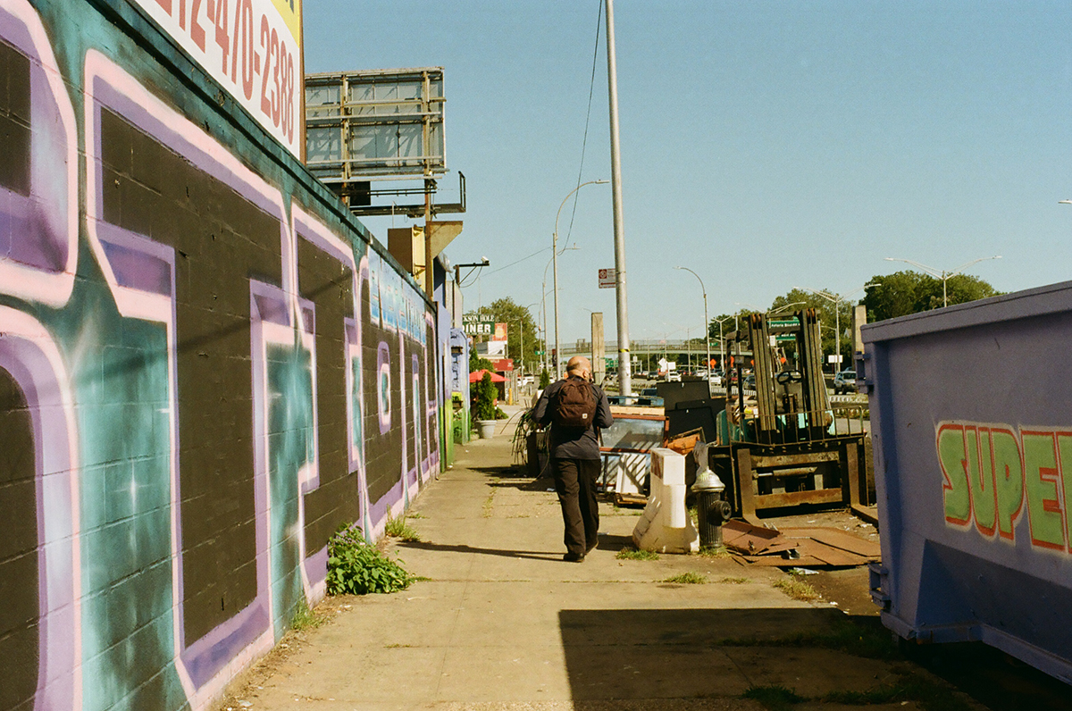
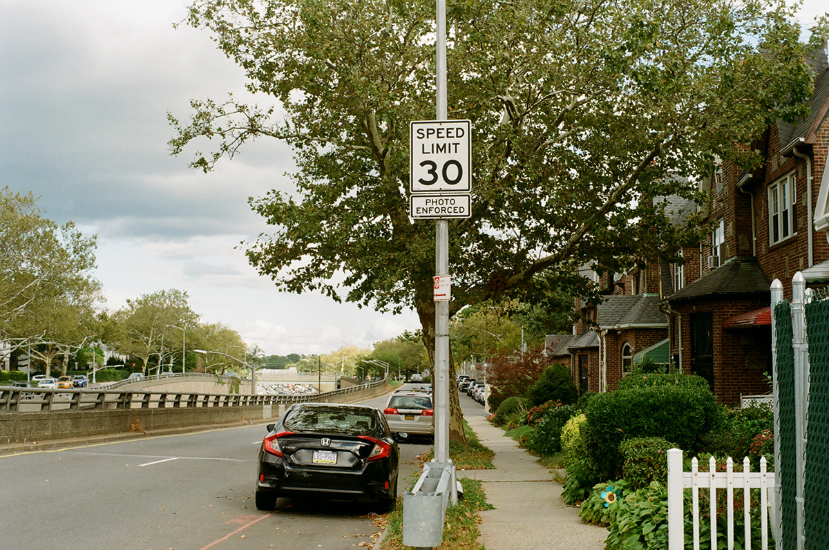
In front of Queens Borough Hall, all of the highways that ever existed meet in a tangled mass of highway spaghetti. There’s a bench to the eastern side of this mess that you can sit on to watch the traffic go by. This is the beginning of the final leg of our walk. From here on out we get more and more suburban; the streets are lined with single family homes, a lot of them in brick. Queens is a borough of houses, a prime example of what suburbs within city limits can look like. The subway ends about halfway through the borough, not far from here, and past that point you either take the bus or drive a car.

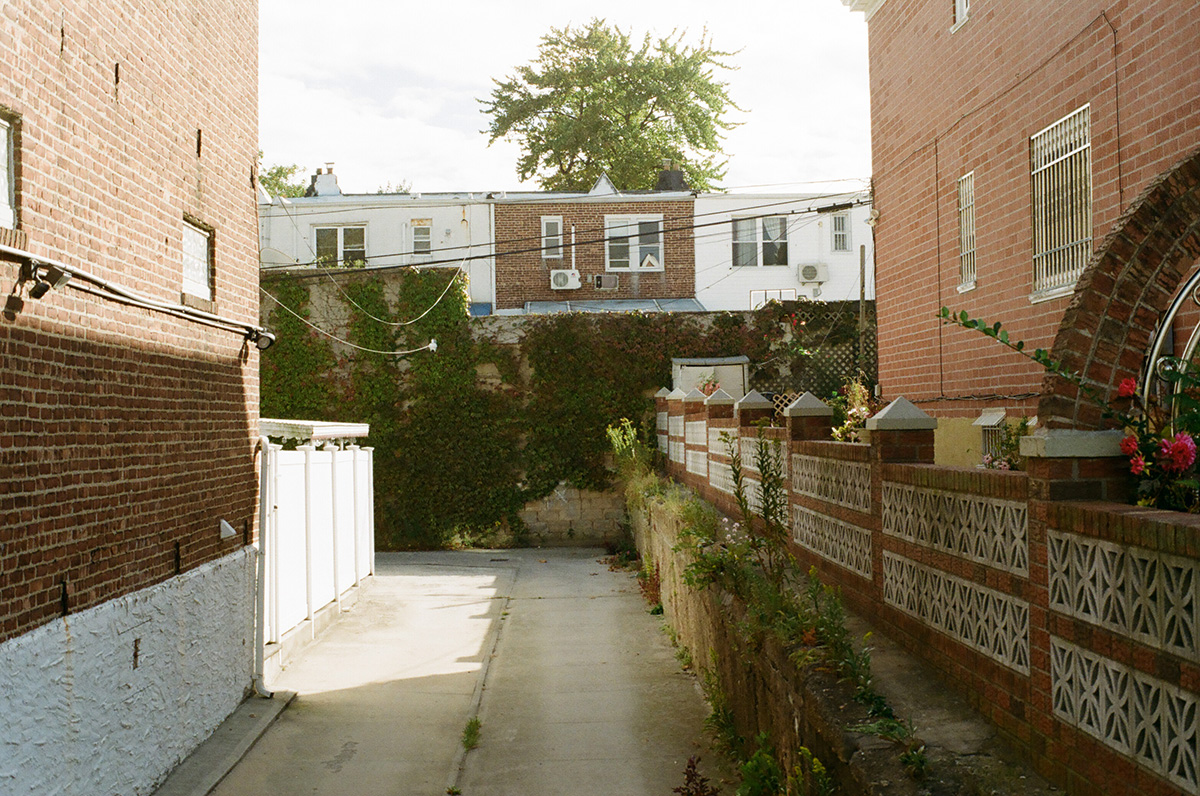
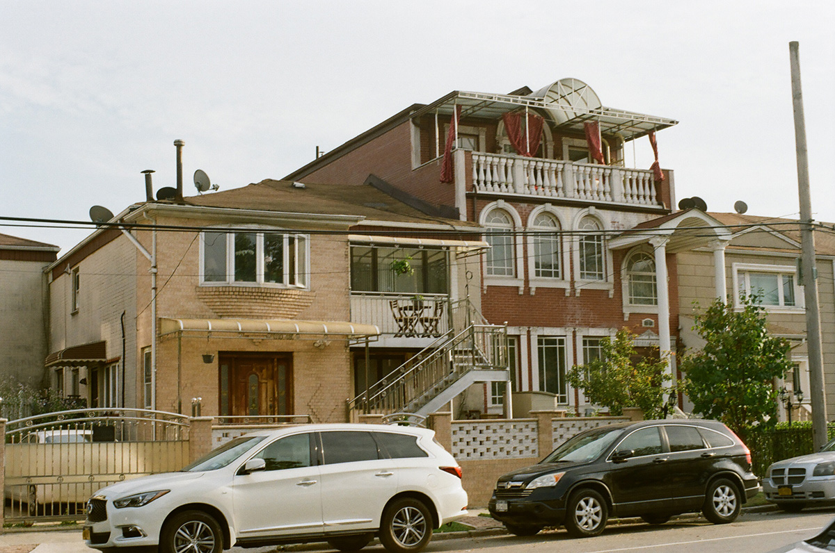
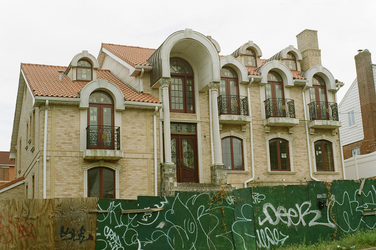
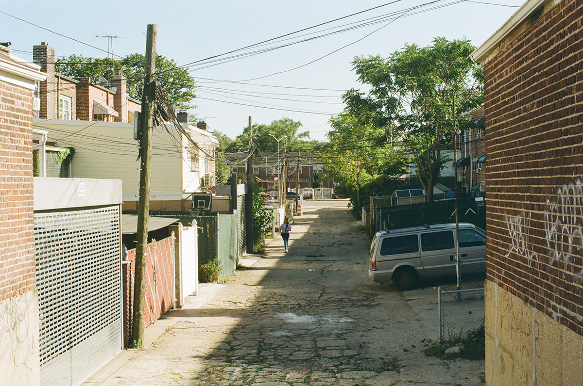
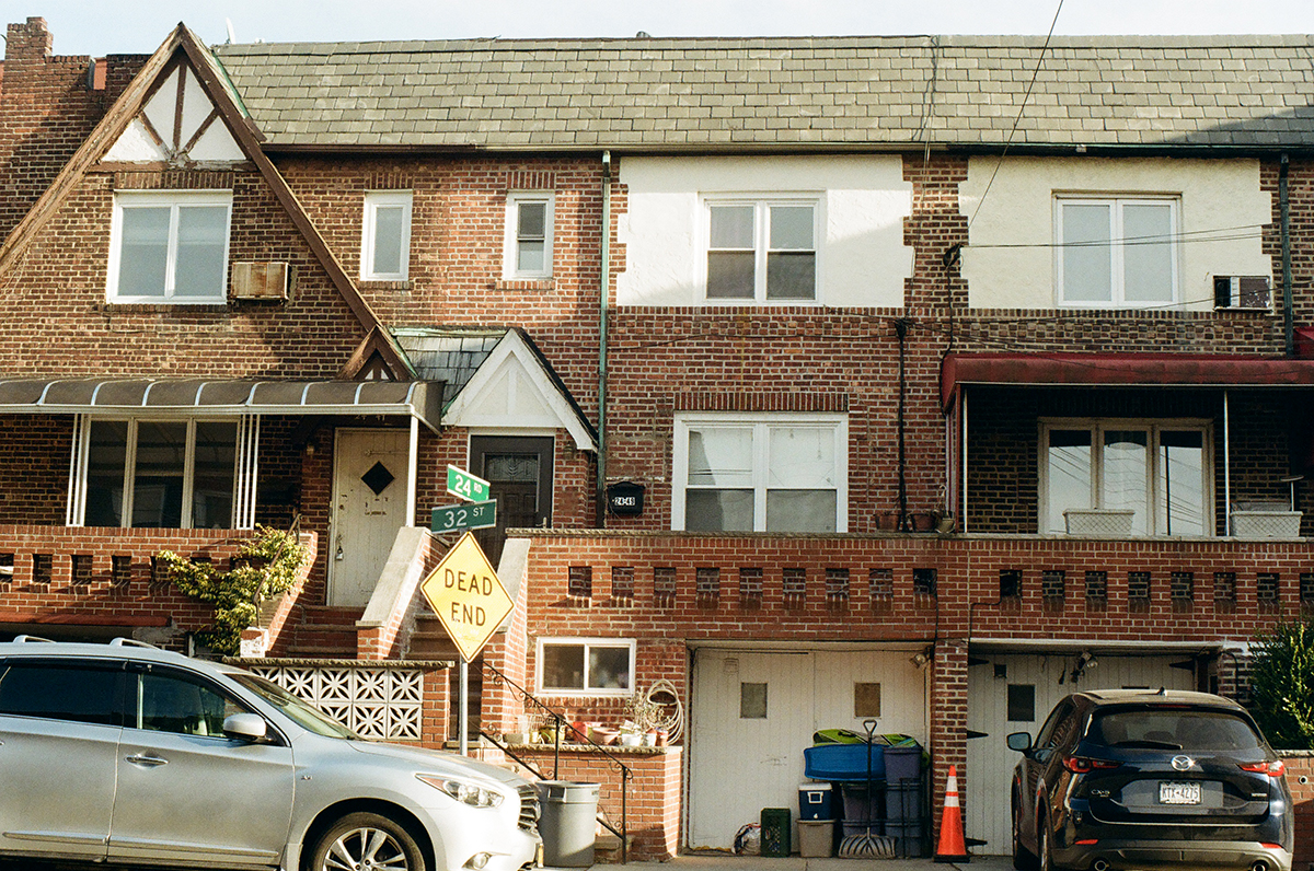
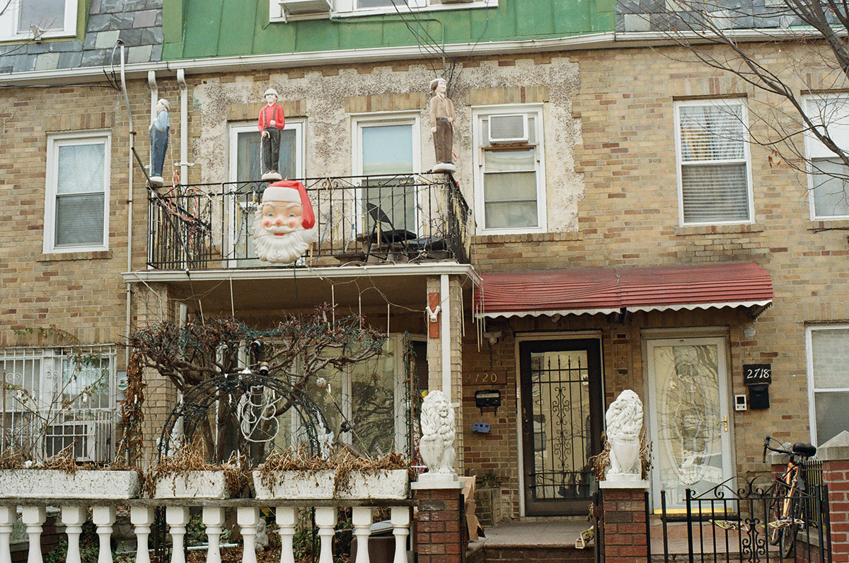
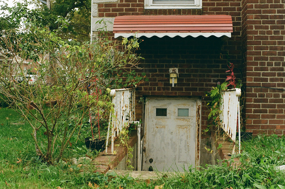
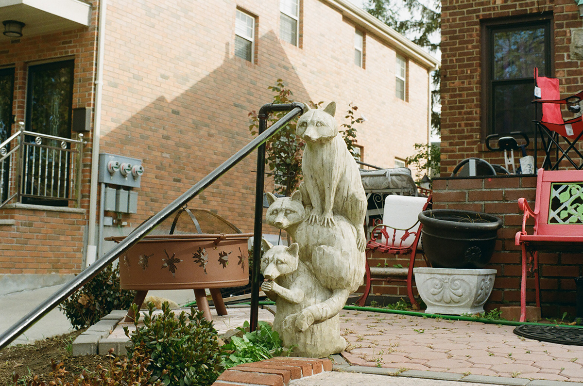
I really love the brick houses, and the occasional alleys, and the different kinds of front yards.

Architect/artist Rafael Herrin-Ferri has an ongoing photography project documenting the wide diversity of homes in Queens; I love this project and the book that was published last year. You can find that here.

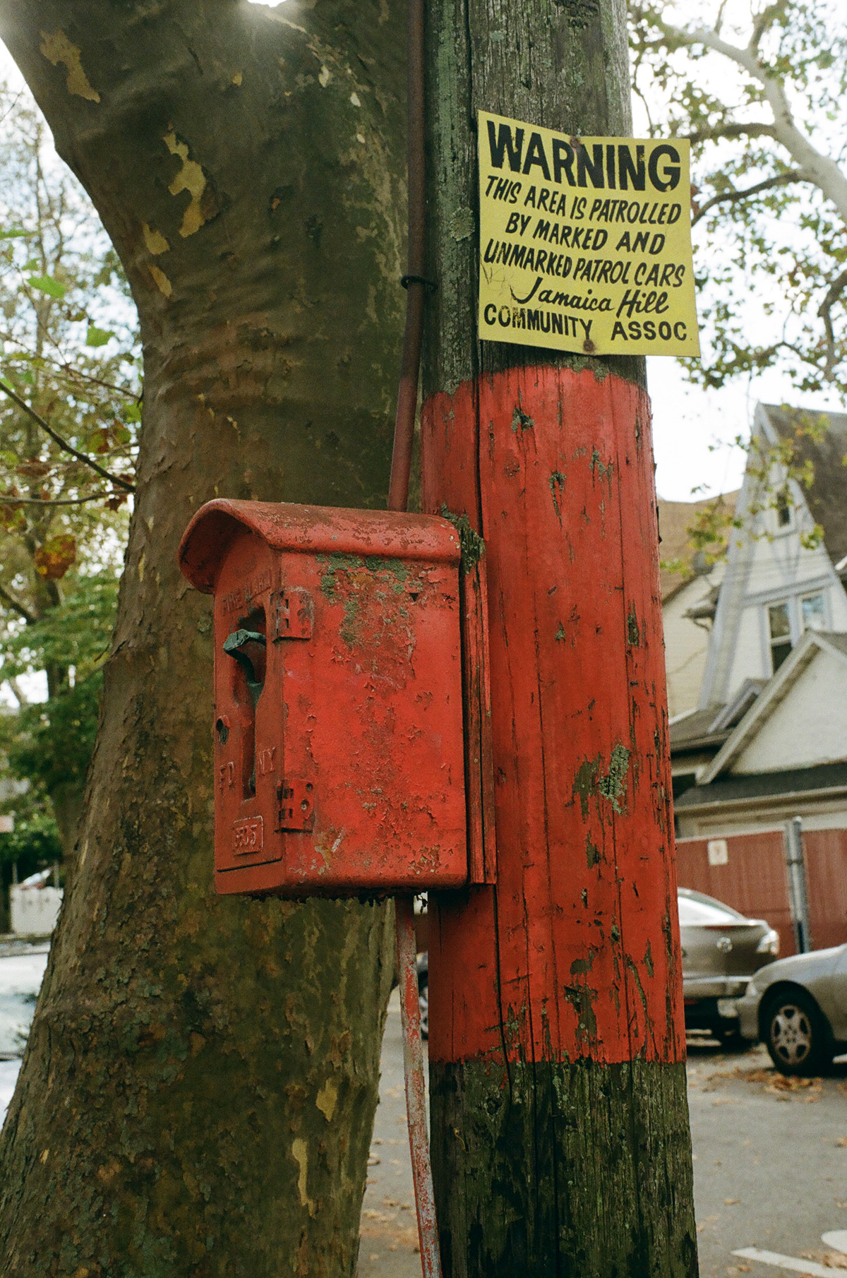
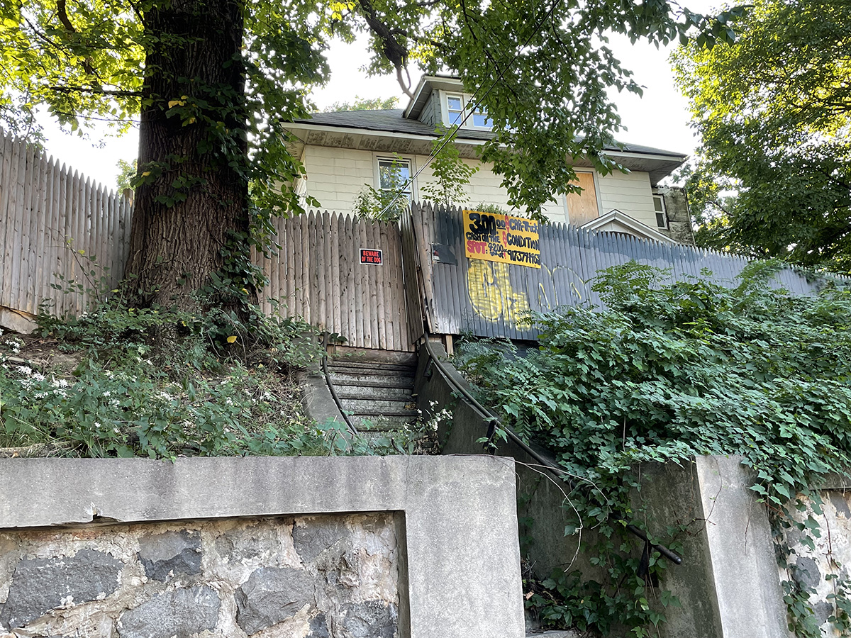
Sign spotted above in Jamaica Hills, the northern hilly section of the old colonial town of Jamaica. The Jamaica Hills Community Association, the internet has told me, was started in 1974, an era in which this part of Queens was almost entirely white, and many of its residents had moved out here from neighborhoods that were progressively becoming less white. The passage of the Fair Housing Act in 1968 meant that developers could no longer explicitly ban black and brown people from new housing. The emphasis on patrol cars here reminds me of the way in which white ethnic enclaves in the city would patrol their borders to keep non-white neighbors out; in the eighties this kind of behavior would lead to several highly publicized lynchings in Queens and Brooklyn.

Over the next several decades this neighborhood would completely change and become home to vibrant Guyanese, Bangladeshi, Haitian, South American, and Chinese communities, the epitome of a middle class Queens neighborhood. The previous generation moved further out to the suburban counties of Nassau and Suffolk or passed away.

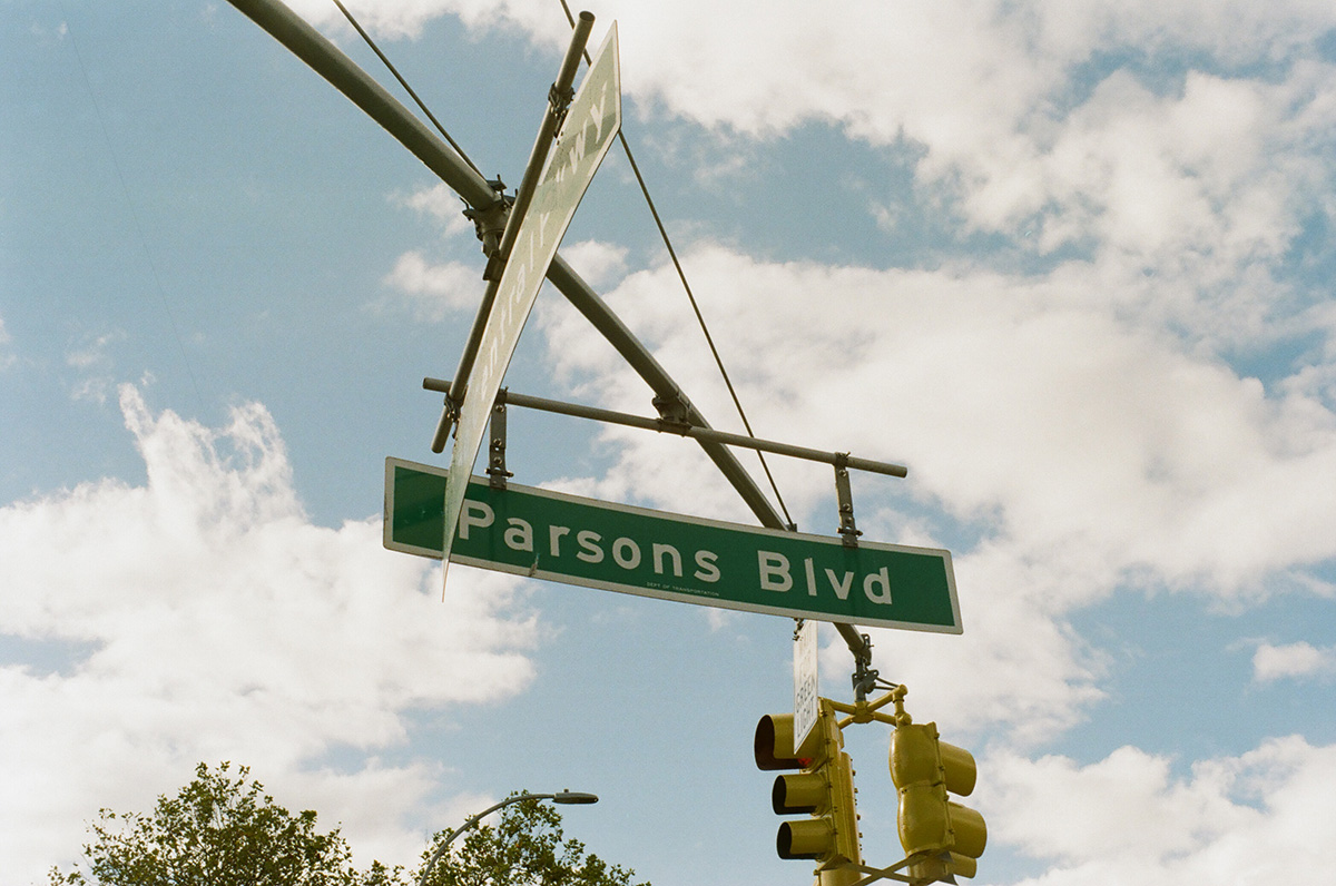
Parsons Boulevard was named for Samuel Bowne Parsons Sr., noted nineteenth century horticulturalist who ran a nursery within Kissena Park in Flushing. Part of this road linked together Jamaica and Flushing in the colonial era.

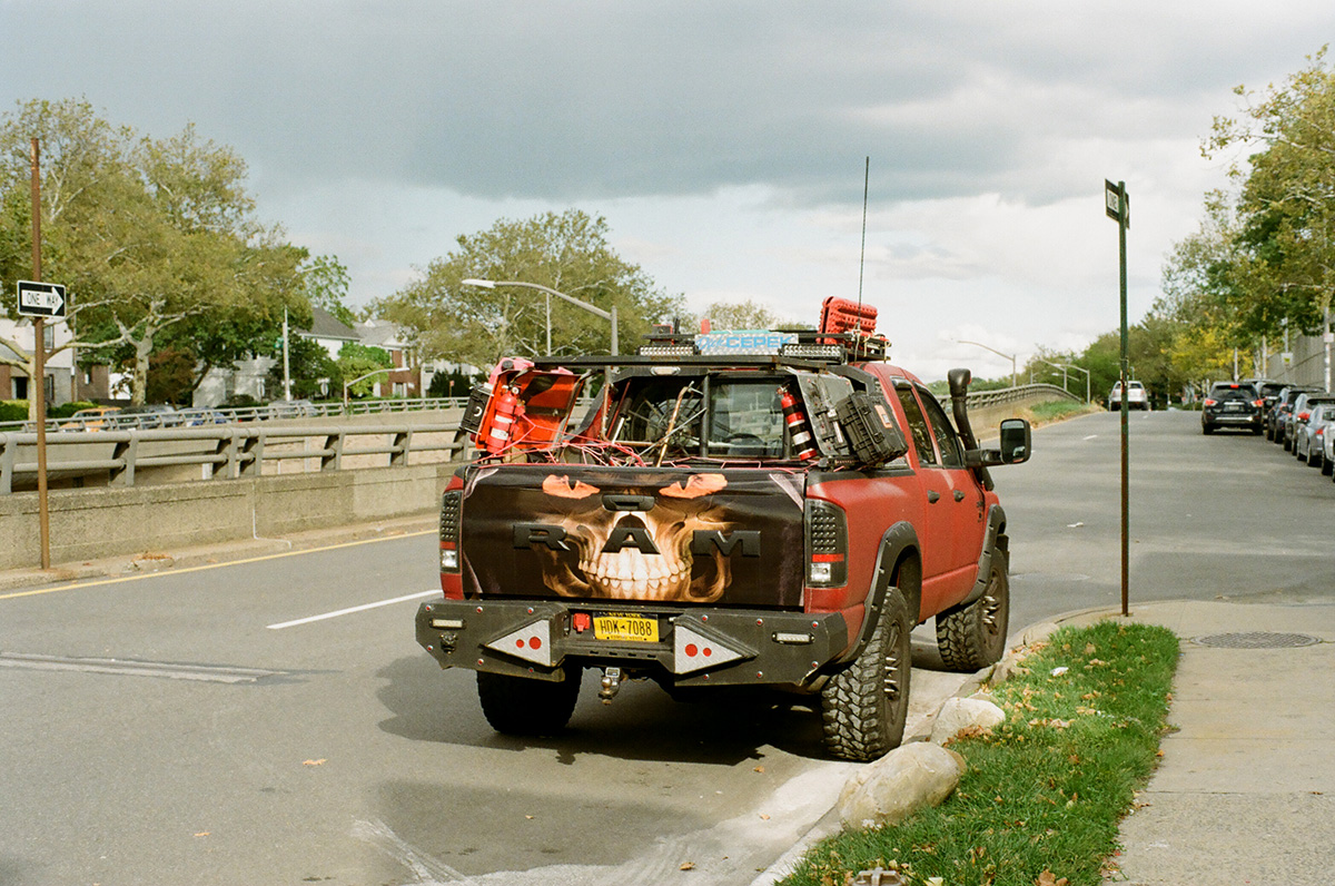
I was a little worried someone would run out of their house and shoot me for taking a picture of this car.

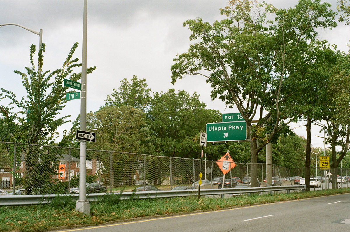
Utopia Parkway, named for the Utopia Land Company, which tried and failed to build a cooperative community for Jewish immigrants to get out of the crowded Lower East Side in Manhattan. Also known as the home of Joseph Cornell.

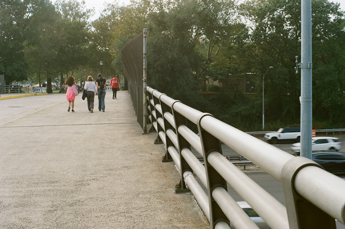
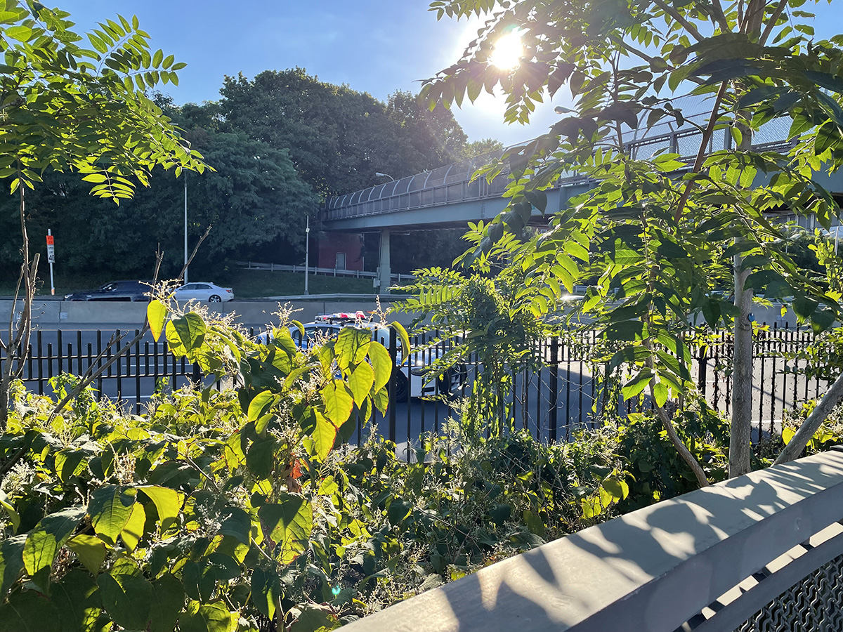
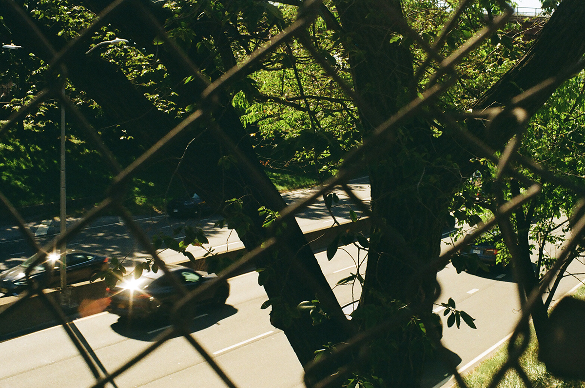
As you get further out there are fewer barriers to keep pedestrians out of the highways, presumably because there are fewer pedestrians out here. Here the barriers really just consist of some trees. This is close to where the sidewalks disappear completely.

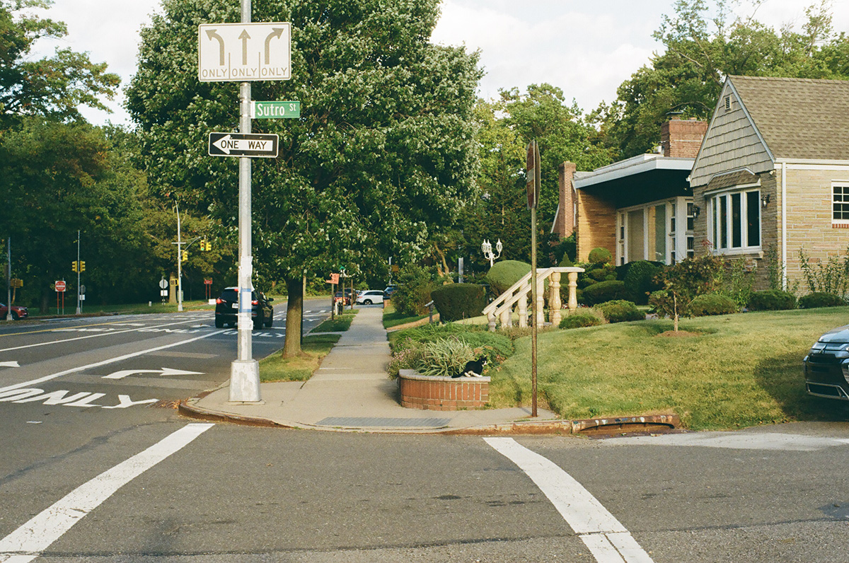
Still a few sidewalks here. Find the cat in this photo.

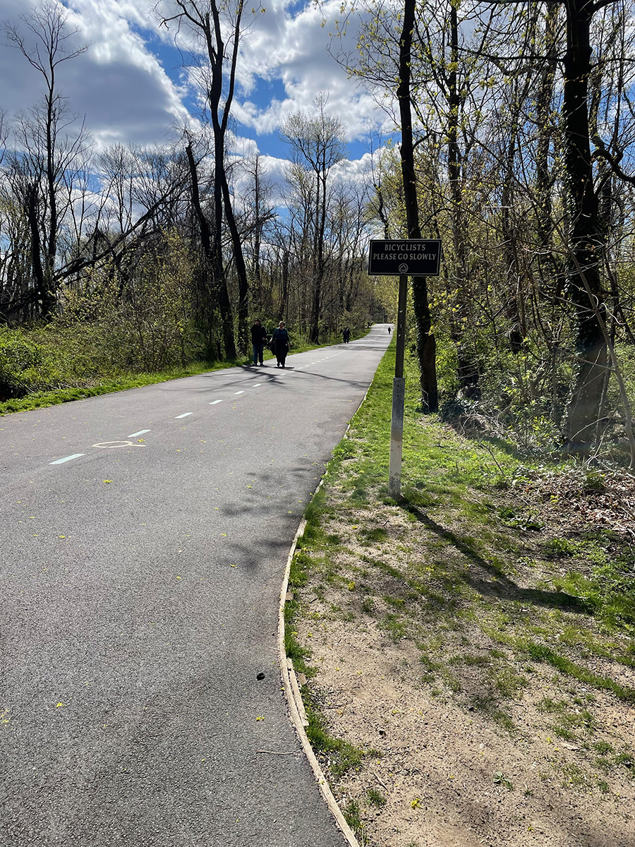
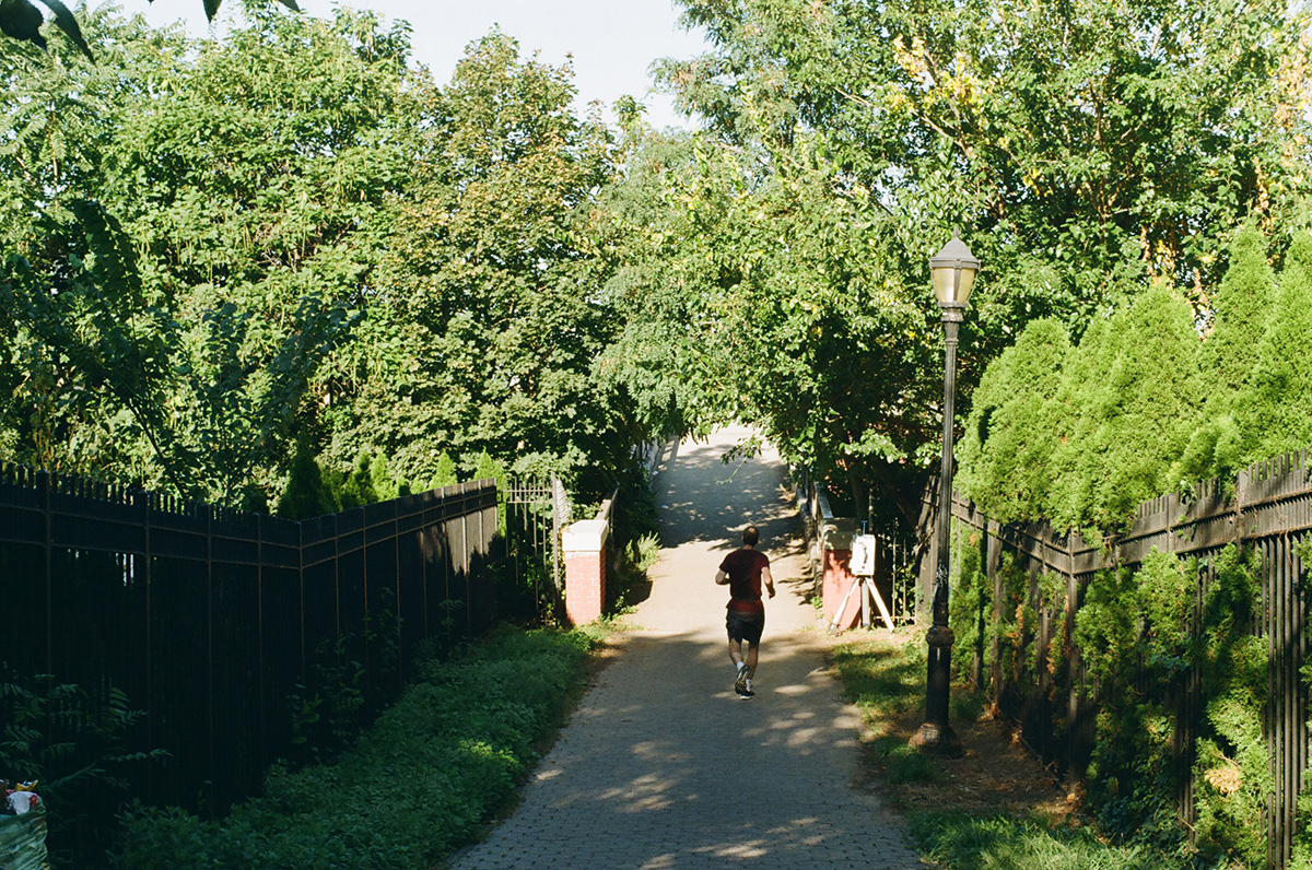
What I was really excited to explore, and specifically explore by bike, was this, the Vanderbilt Motor Parkway, once the expensive private highway built by  William Kissam Vanderbilt II, so that he and his wealthy friends could race their brand spanking new motor cars out to their mansions on the North Shore of Long Island. It opened in 1908 and was the first roadway built just for cars in the US. A section of it still stands and is now a greenway that runs between Cunningham Park and Alley Pond Park here in Eastern Queens.

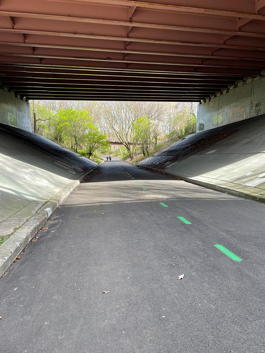
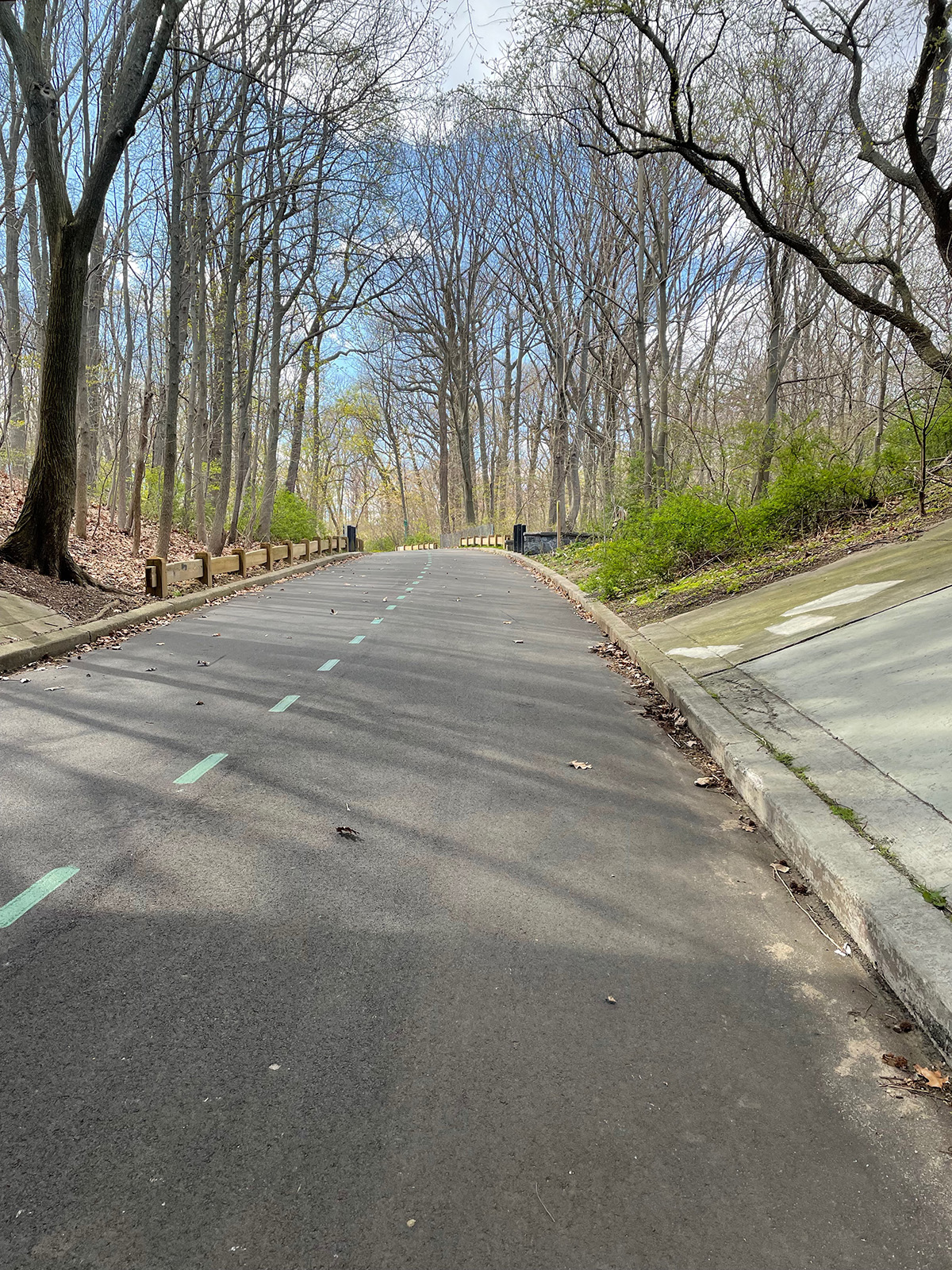
It’s so much fun to ride! Parts of it travel on overpasses over local streets, parts pass by the backside of residential houses. It’s super quiet and lovely. As more people had access to cars over time, and as Robert Moses starting building public highways open to everyone, this road became obsolete. The neighborhoods this path travels through are unfriendly to pedestrians, and also cyclists, as they are pretty much completely built around cars, so to have this route available is a real joy. And I ended up close to my final destination:

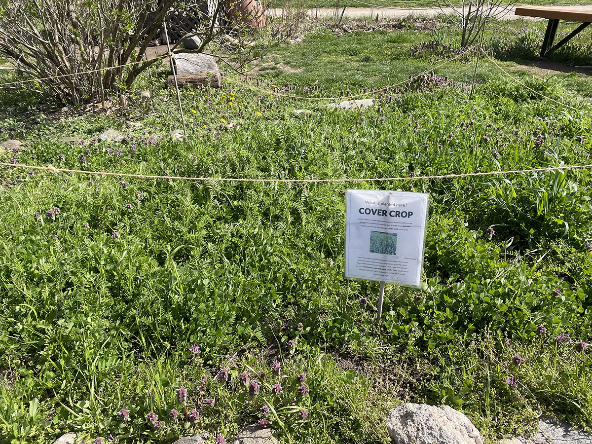
The Queens County Farm, the largest remaining tract of farmland in NYC. It is one of the oldest continuously farmed pieces of land in NY State, and it exists now as a teaching facility, holding events and providing learning opportunities on farming, biodiversity, urban agriculture and local history.

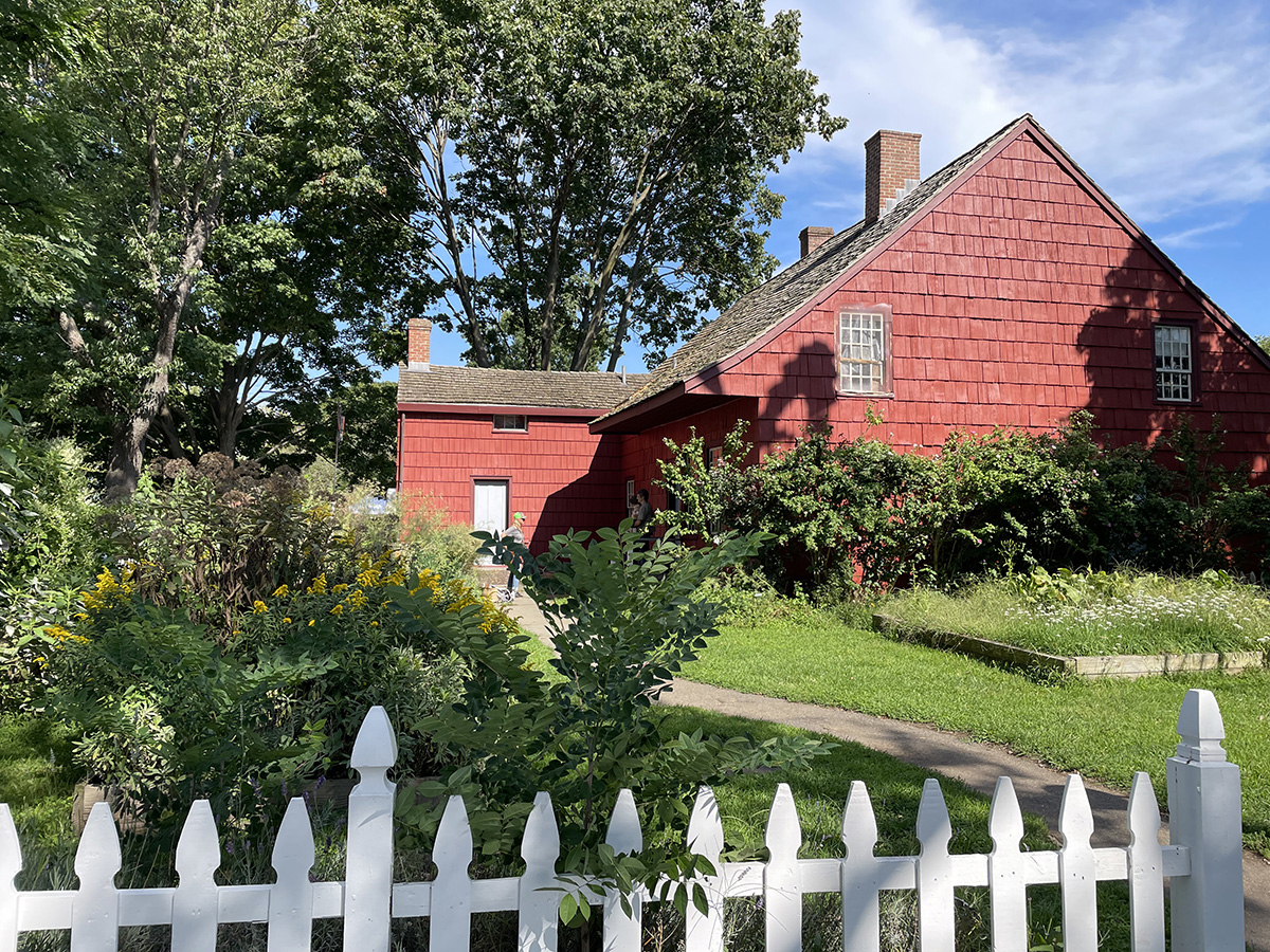
Late seventeenth century Dutch colonists, having stolen this particular bit of land, built this farmhouse in 1772 and worked the land as a family farm for hundreds of years. Eventually the farm was sold to German immigrants who turned it into a “truck farm”, a farm that raised food to be sold in Manhattan.

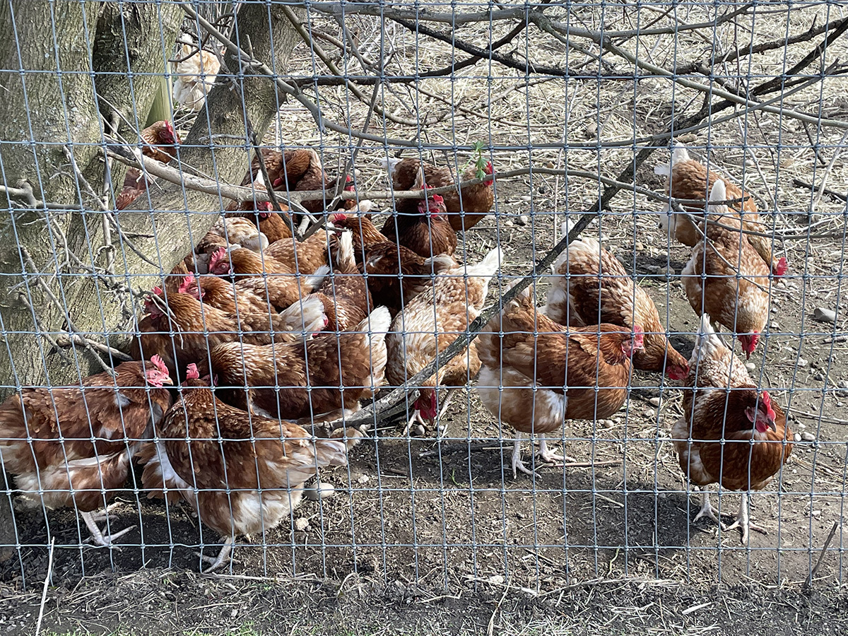
Today the farm raises chickens, sheep, goats, and apalca in addition to growing vegetables. I have much more to say about this farm and farming in general in the city, so this was my stopping place. The next pamphlet will be all about urban agriculture and more here will come soon.


GCP Walk, Flushing Meadows Corona Park

Walking into Flushing Meadows Park itself, you kind of have to pass through a highway, no matter which direction you come from. The Grand Central runs along the west side of the park, and the Van Wyck runs along the east side. The Long Island Expressway splits the park in half. You can tell this is a park made by Robert Moses.

This park was built on a salt meadow, land that had been inhabited by the Matinecocks before the arrival of the Dutch in the seventeenth century. By the nineteenth century the land had become a scenic waterfront resort for the wealthy, with views onto Flushing Bay and the river that flowed into Queens from the bay. But then industrialization came to Flushing; the wetlands around Flushing River was filled in with landfill by the end of the nineteenth century and turned into an ash dump for New York City’s household refuse and furnace ashes. F. Scott Fitzgerald wrote about the “valley of ashes” in The Great Gatsby.

“This is the valley of ashes—a fantastic farm where ashes grow like wheat into ridges and hills and grotesque gardens; where ashes take the forms of houses and chimneys and rising smoke and, finally, with a transcendent effort, of men who move dimly and already crumbling through the powdery air.”

Robert Moses came into the picture in the 1930’s and started remediating the land into the park we have available to us now. He wanted to bring the World’s Fair to Queens, and built the park around this opportunity, relocating the trash heap and constructing the pathways and fields that make up the park. The park hosted the fair twice, in 1939 and in 1964, and is full of the rusty relics left behind.

The mosaics near the subway stop are some of my favorites:

There’s a tribute to one of Queens’s finest:

Queens Icons

The Unisphere is probably the best known of the World’s Fair relics. It sorts of looms in the distance for a while.

Until all of a sudden there it is.

The southern half of the park has two man-made freshwater lakes, Meadow Lake and Willow Lake. They are not the most impressive lakes ever, but you can rent a paddle boat and enjoy them if that’s what you’re into. Nearby are wide flat fields that were full of families barbecuing.

A new thing added to the park, at least I think it’s fairly new, is this misting area near the Unisphere. Small jets are embedded in the walkway and spray mist on you as you walk through. Seriously the best thing ever on a hot day, all parks should get one.

But of course the most refreshing thing about a trip to Flushing Meadows is what you do after you leave the park, which is go get a lemon ice from the Lemon Ice King of Corona and eat it in the little plaza across the street.

So good. If you are done with park life, you can follow the Grand Central south on the outside of the park, along the service road, through Corona, then Forest Hills, where you find a lot of parked trucks and the backsides of co-ops.

This part of Forest Hills faces away from the highway, trying to pretend it’s not there. Apartment buildings give way to larger and larger houses, with more fiberglass awnings that you thought possible.

More balconies!

At the south end you find the backside of the Jamaica train yard, the major train depot for the LIRR in Queens. Remember the wetlands of Flushing? They centered around the Flushing River, the source of which now is supposedly a drainage pipe somewhere in this train yard. The River is now more of a creek, covered over in parts, flowing through lots and parkland and under highways until it gets to Flushing Bay.

Once past the train yard you are almost at Kew Gardens and Queens Borough Hall, in front of which is the largest tangle of highways you’ve ever seen. Which is where we left off for the day, to be continued.


GCP walk, East Elmhurst through Flushing Bay

Past St. Michaels we walked through East Elmhurst, the neighborhood that somehow is north of regular Elmhurst. East Elmhurst is the home of my least favorite airport:

La Guardia, named for the former mayor Fiorello, who was super into airports. Before NYC had its own airport within the city limits, he flew into Newark Airport and pitched a fit when it came time to leave the plane. “I bought a ticket to New York City, why are we in New Jersey? Take me to NYC!”. I admire the spirit, but dislike his namesake. We walked over another overpass to get here.

East Elmhurst is mostly very low in elevation, as is all the land around the airport, and therefore is at high risk for flooding; it was built on a former marsh that was called Trains Meadow. It’s full of rows of single family homes made of brick or of vinyl siding, with the spectacular awnings I always associate with Queens, and was one of the few neighborhoods where black families were allowed to buy a home. It became known for the musicians, entertainers, and cultural icons who lived there, and made it one of the most stable neighborhoods in NYC. Malcolm X, Ella Fitzgerald and Dizzy Gillespie all lived here. While white families poured out of the city, taking advantage of the federal loans available to them, into the suburbs via the Grand Central Parkway, the black homeowners in East Elmhurst stayed put and built a community.

We walked along Ditmars Boulevard for a while, just south of the parkway. There’s a hilly spot called Overlook Park where you can watch the planes take off and land.

Eventually you get to a path that leads to the entrance to the Flushing Bay Promenade:

Which leads you here:

One of my favorite things, a marshy, under-appreciated body of water, this one called Flushing Bay. This bay is of course not as clean as residents would like (support and follow Guardians of Flushing Bay for more info), for the usual reasons: illegal dumping, pollution and runoff from the airport, storm runoff from some of the nearby highways, and of course, raw sewage when it rains, because there are TEN combined sewer outflows that empty into the bay. Combined sewer outflows are places where the pipes that take the rainwater from the streets and the pipes that take sewage from private homes combine, so that when there’s a lot of rain, the combination of the two is more that the sewer system can process, so a good bit of it bypasses the water treatment plant and goes directly into the nearest body of water, out of a pipe called a CSO. In this case, into Flushing Bay.

If you want more info on NYC’s sewer system and where it all ends up, here’s a great resource: https://openseweratlas.tumblr.com

Horrified? You can look up your sewer shed and download a map of the system. NYC DEP also has an app called Wait… that you can download to remind you to let it mellow and also don’t do your dishes/laundry during a heavy storm:

https://www1.nyc.gov/site/dep/whats-new/wait.page

Back to the walk: we stopped on the promenade for a very delayed lunch of enormous Italian sandwiches and dodged some enthusiastic yellow jackets.

There’s a marina here, built for one of the two World’s Fairs that were held here in the middle of the last century, which is home to some of the dragon boat crews that practice here in Flushing Bay and nearby Flushing Meadows. The annual Dragon Boat Festival is coming up next month, FYI: https://www.hkdbf-ny.org/index.php

Teams have been competing in the man-made lakes in Flushing Meadows park since 1990, alongside traditional Chinese food stalls and performances in one of the largest dragon boat festivals in the US.

There is of course another overpass before you cross into the park, Flushing Meadows Corona Park, which we decided to save for the next leg.


GCP walk, Astoria to St. Michaels

The Grand Central Parkway begins at the foot of the Triborough (RFK now, though I can’t remember to call it that) Bridge, overlapping with the BQE for a bit, in Astoria, Queens.

Astoria is quiet and residential and full of low-rise single family homes and brick townhouses. It was named for John Jacob Astor, in order to flatter him enough to convince him to invest in the neighborhood, which he reluctantly did. He never visited, though he could see the village from his summer home in Manhattan. At first it was a sort of a country get-away for the wealthy to relax.

During the late 1800s, there was an increase in factories and industry along the waterfront that brought German immigrants who were furniture and cabinet makers into the neighborhood. The most famous is probably Henry Steinway, the man who founded the Steinway Piano Company in 1853; he also built a sawmill, foundry, and streetcar line. The family created Steinway Village for the workers in their factories. 

The approach to the Hell Gate Bridge, which carries passenger and freight trains over the East River, runs through the middle of the neighborhood just north of the GCP, and murals decorate its underpasses. We took our time wandering through Astoria before making our way towards the service road next to the Parkway.

The Grand Central Parkway itself forms a barrier between north and south portions of Astoria.

The GCP’s route mirrors a road called Astoria Boulevard that was obliterated when the highway was constructed, and now the service roads on the north and south sides are called Astoria Boulevard North and Astoria Boulevard South.

On the north side of Astoria Boulevard are some scrap metal shops, then a glorious diner called the Jackson Hole, with the most wonderful preserved sign. We enjoyed the sign, and then crossed over to Astoria Boulevard South, following the highway east towards Jackson Heights. 

Along the northern edge of St. Michael’s Cemetery we walked on a narrow not-quite-a-sidewalk next to the access road that gradually disappeared, until we reached an entrance. 

St. Michael’s is one of many cemeteries in Queens; there’s more than five million people buried in Queens, more than double the living population of the borough. St. Michael’s is one of the oldest in the city, dating back to 1852, one of a number that were opened after the state passed the Rural Cemetery Act, a law that encouraged the city of New York to bury its dead in areas outside of Manhattan, on undeveloped land. 

Rev. Thomas McClure Peters purchased the land to start this cemetery in order to provide a resting place for the poor and working classes in the city, and the names on the plots tell a story about the different waves of immigrants who have arrived in New York City over the past 170 years, from German to Italian and Greek, then Chinese, Korean and Hindu family names.


@