New projects

Category : art, inspiration

I’ve been working on not one but TWO books this year. One will be about Governor’s Island and is based on my work and research last fall. But what I want to talk about today is the other book, a collaboration with Amanda Deutch.

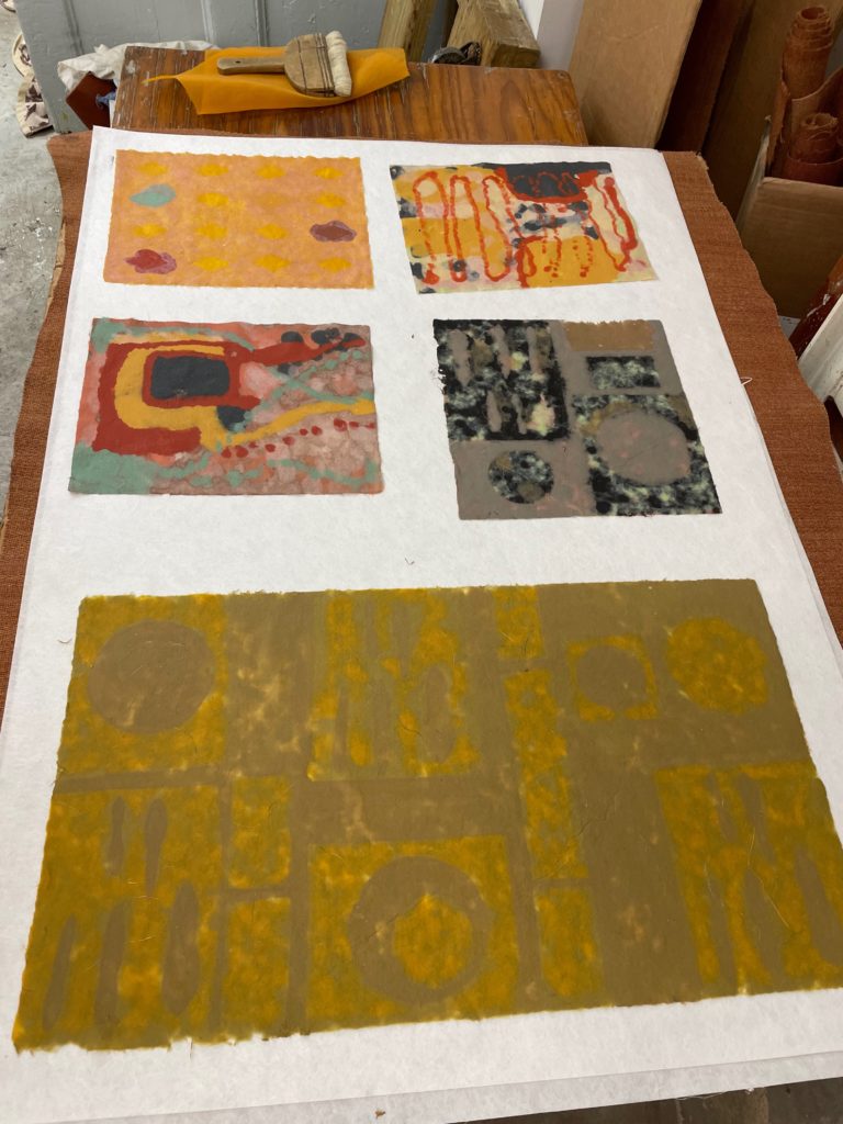
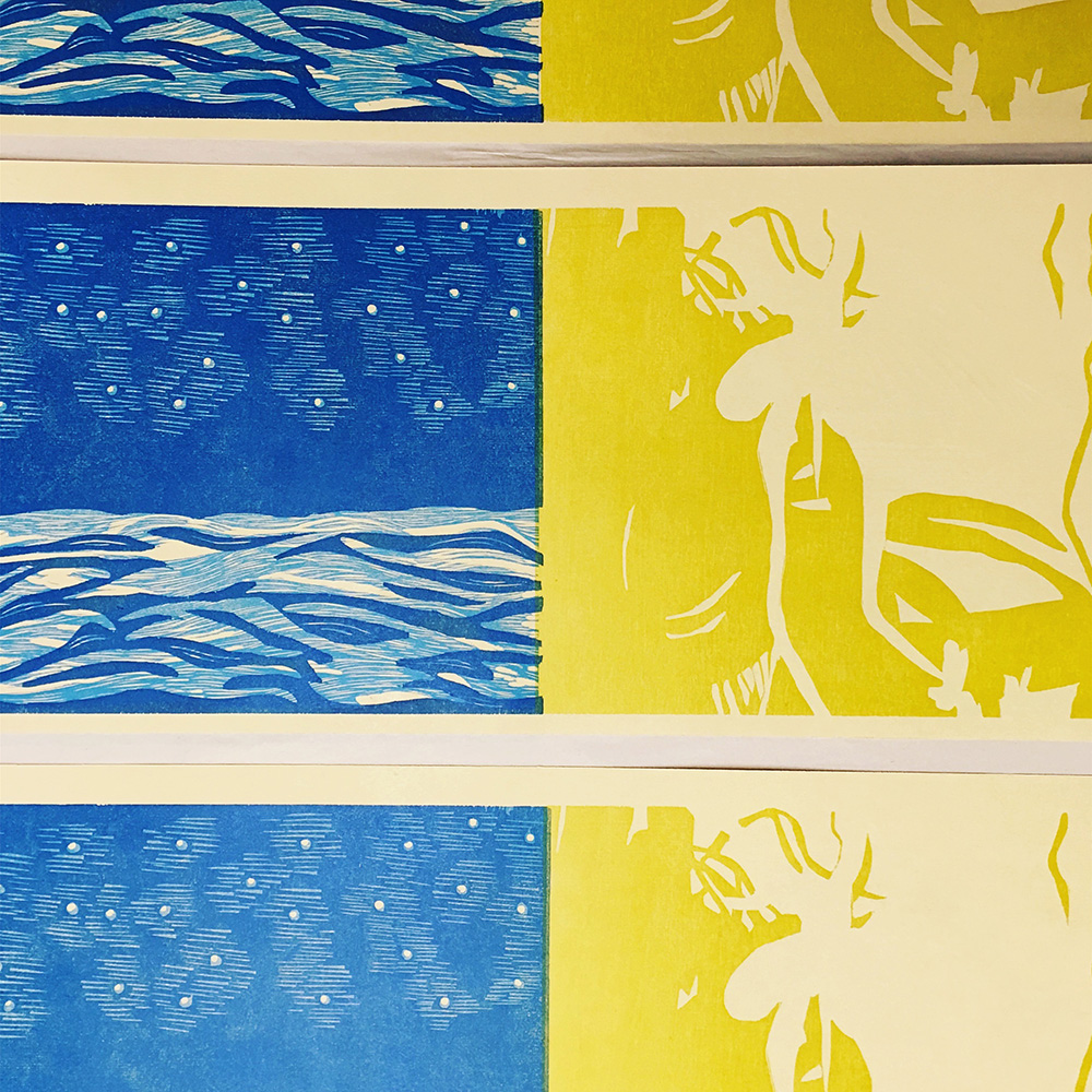
These are some images of pages in progress that I printed in August at the Center for Book Arts. Amanda came to me with a manuscript of poems that she’d written earlier this year called wild anemone.

All the poems are named for a different wildflower, then goes off in different directions. Some talk about the cityscape, some are more internal, some warp into automatic writing, sometimes the language breaks down entirely. She calls them “witchy little poems” and asked if I might be interested in making something out of them.

I’ve spend some time over the last few years making paper and inks from weeds and wildflowers in NYC, and writing about weeds and wildflowers, and I thought it was a good fit for me, and also I just loved the poems, they were so strange. So I said yes. I had some pressure prints around the house and this May I made a simple rough mock up:

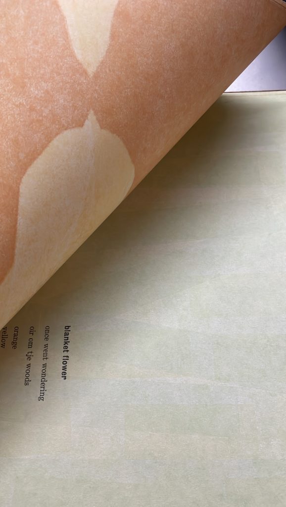
So the idea was to mix printed elements with the poems and with layers of handmade and pigmented paper that are made from locally foraged plants, that conceal and reveal the texts. I was excited to get started.

Coincidentally, I had previously registered for a fantastic paper making class this summer at Womens Studio Workshop, a class on using natural and found color in paper taught by Hannah O’Hare Bennett. For a week in July I was surrounded by brilliant natural color- it was an amazing time.

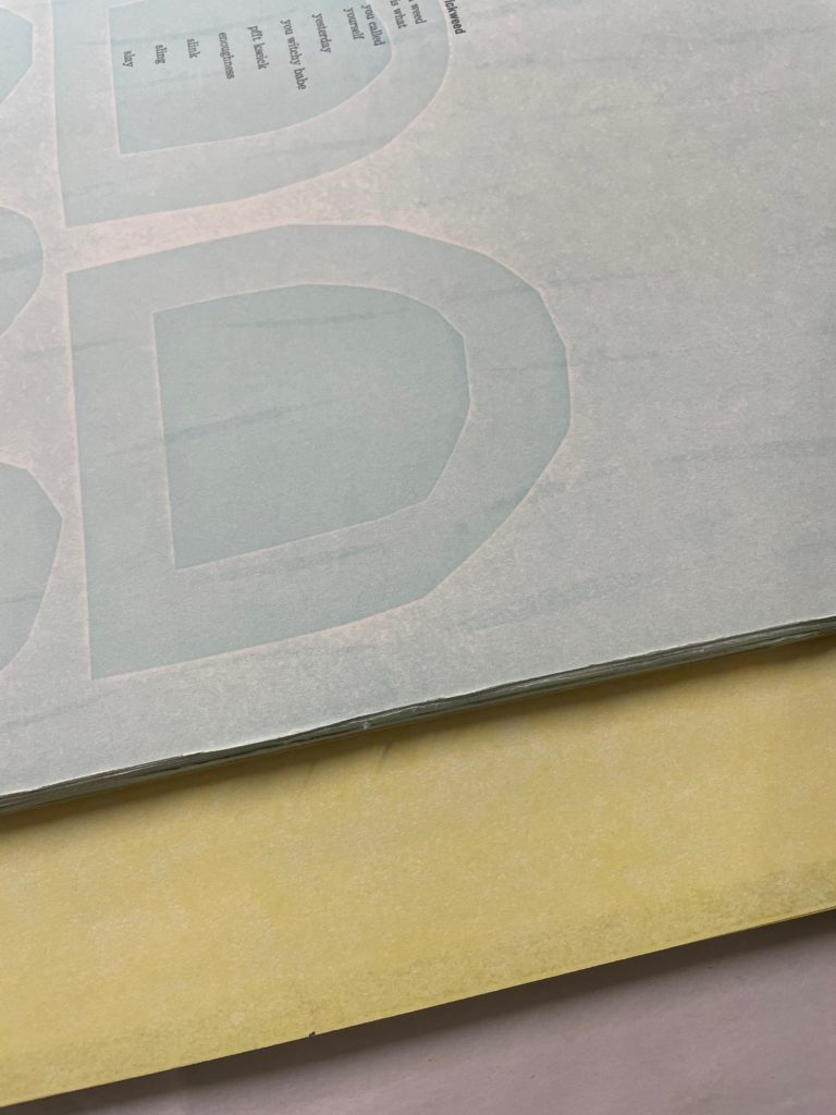
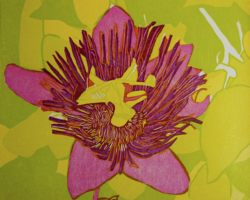
So after spending all of this time around color, I not only gained a lot more knowledge on how to use natural pigments, but my palette shifted. When I came back I printed the final versions of the pressure prints, and the text for the book:

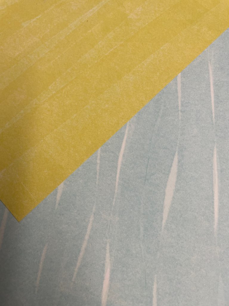
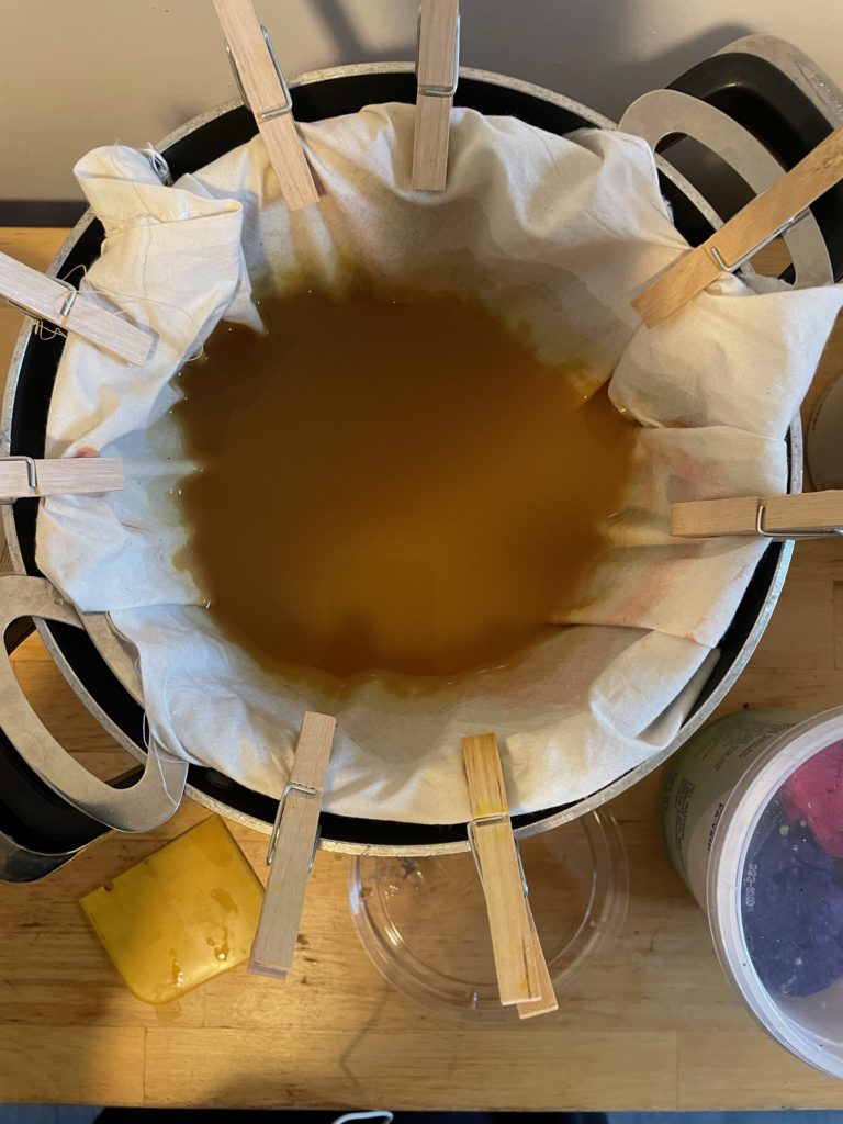
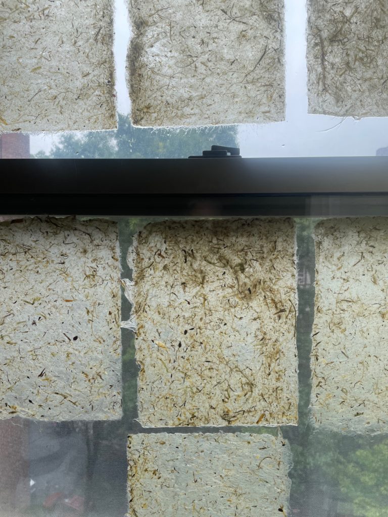
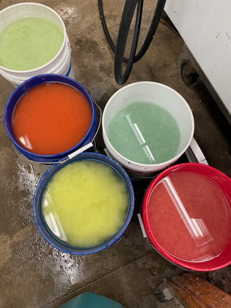
I think the yellows became more golden and the colors overall seem more vibrant than in the mockup. I’m now working on making more handmade paper for the edition. I will be using both foraged fiber and foraged color, including goldenrod, milkweed, and jewelweed:

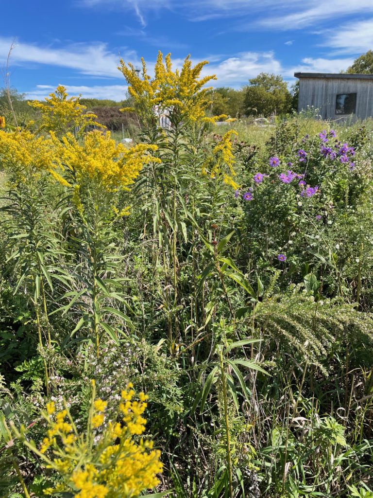
I want to make sure to have a lot of golden yellows and rich purples, which is what I always think about when I think about wildflowers in the city, especially in the fall.

Some of the color may come from Governor’s Island, which I have more to say about soon. This photo is from last fall, when I was in residence there. (More soon about that.) I hope to have it completed for next February’s Codex Bookfair.


GCP walk, East Elmhurst through Flushing Bay

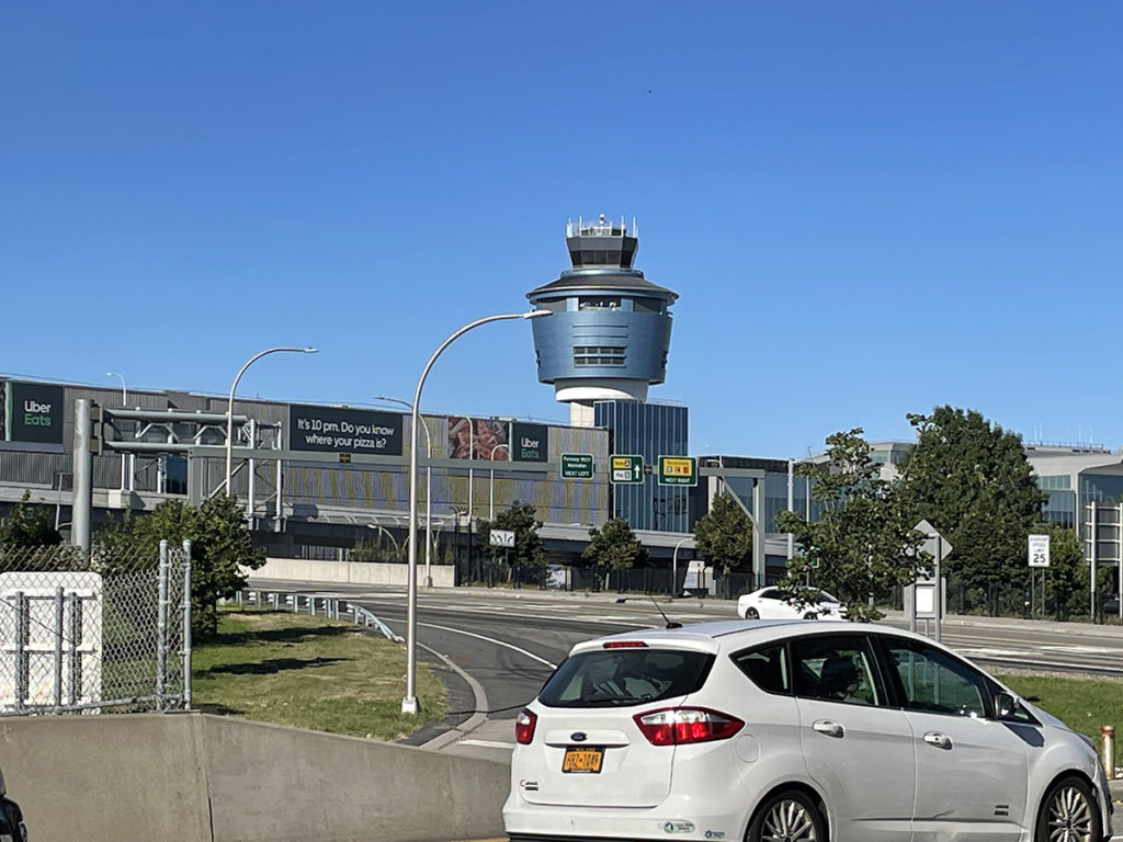
Past St. Michaels we walked through East Elmhurst, the neighborhood that somehow is north of regular Elmhurst. East Elmhurst is the home of my least favorite airport:

La Guardia, named for the former mayor Fiorello, who was super into airports. Before NYC had its own airport within the city limits, he flew into Newark Airport and pitched a fit when it came time to leave the plane. “I bought a ticket to New York City, why are we in New Jersey? Take me to NYC!”. I admire the spirit, but dislike his namesake. We walked over another overpass to get here.

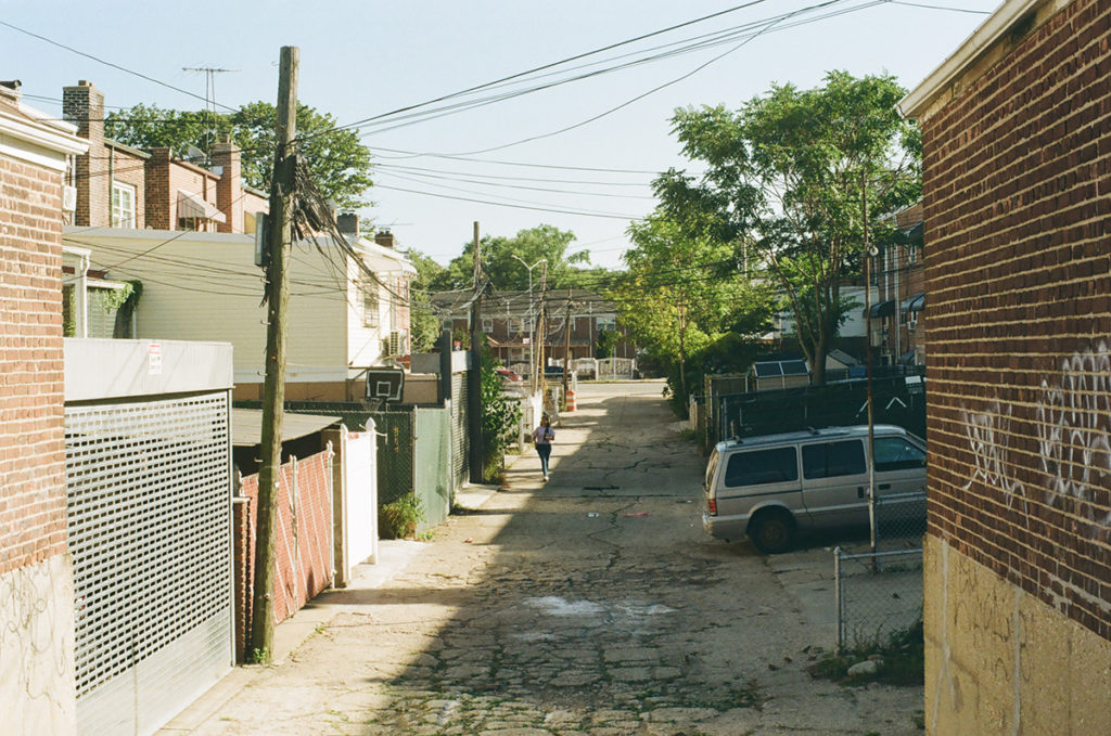
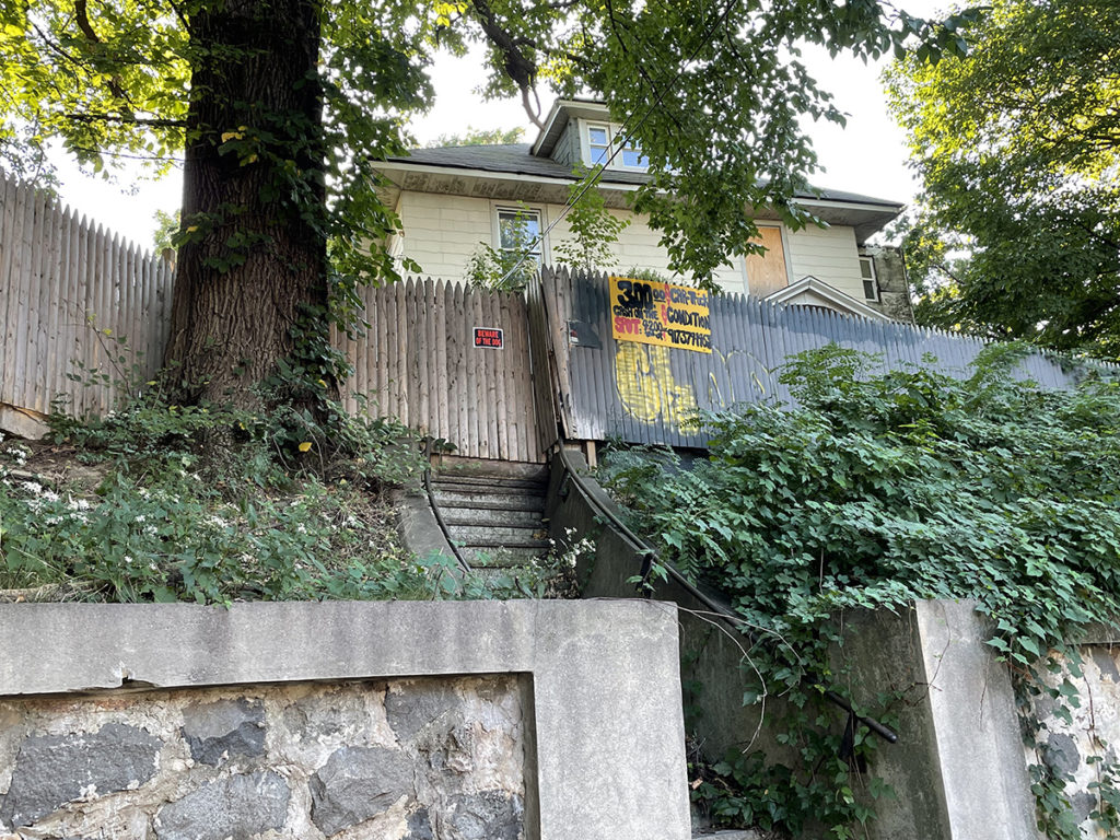
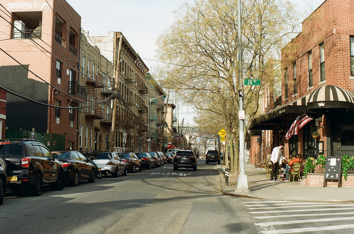
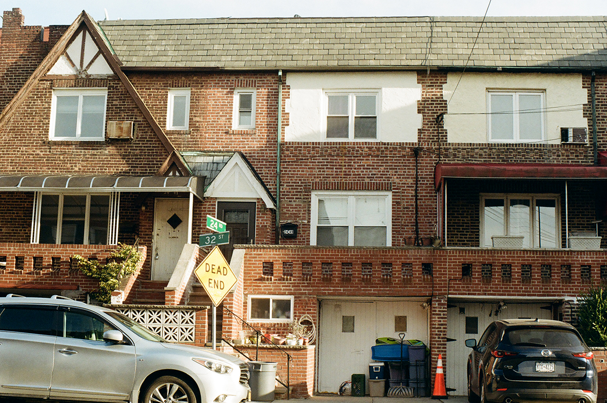
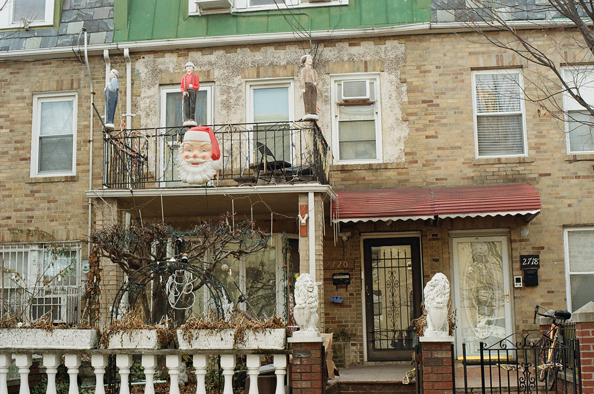
East Elmhurst is mostly very low in elevation, as is all the land around the airport, and therefore is at high risk for flooding; it was built on a former marsh that was called Trains Meadow. It’s full of rows of single family homes made of brick or of vinyl siding, with the spectacular awnings I always associate with Queens, and was one of the few neighborhoods where black families were allowed to buy a home. It became known for the musicians, entertainers, and cultural icons who lived there, and made it one of the most stable neighborhoods in NYC. Malcolm X, Ella Fitzgerald and Dizzy Gillespie all lived here. While white families poured out of the city, taking advantage of the federal loans available to them, into the suburbs via the Grand Central Parkway, the black homeowners in East Elmhurst stayed put and built a community.

We walked along Ditmars Boulevard for a while, just south of the parkway. There’s a hilly spot called Overlook Park where you can watch the planes take off and land.

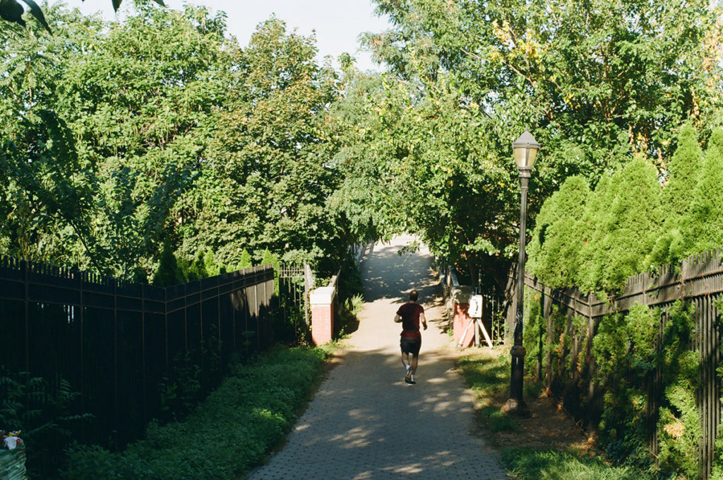
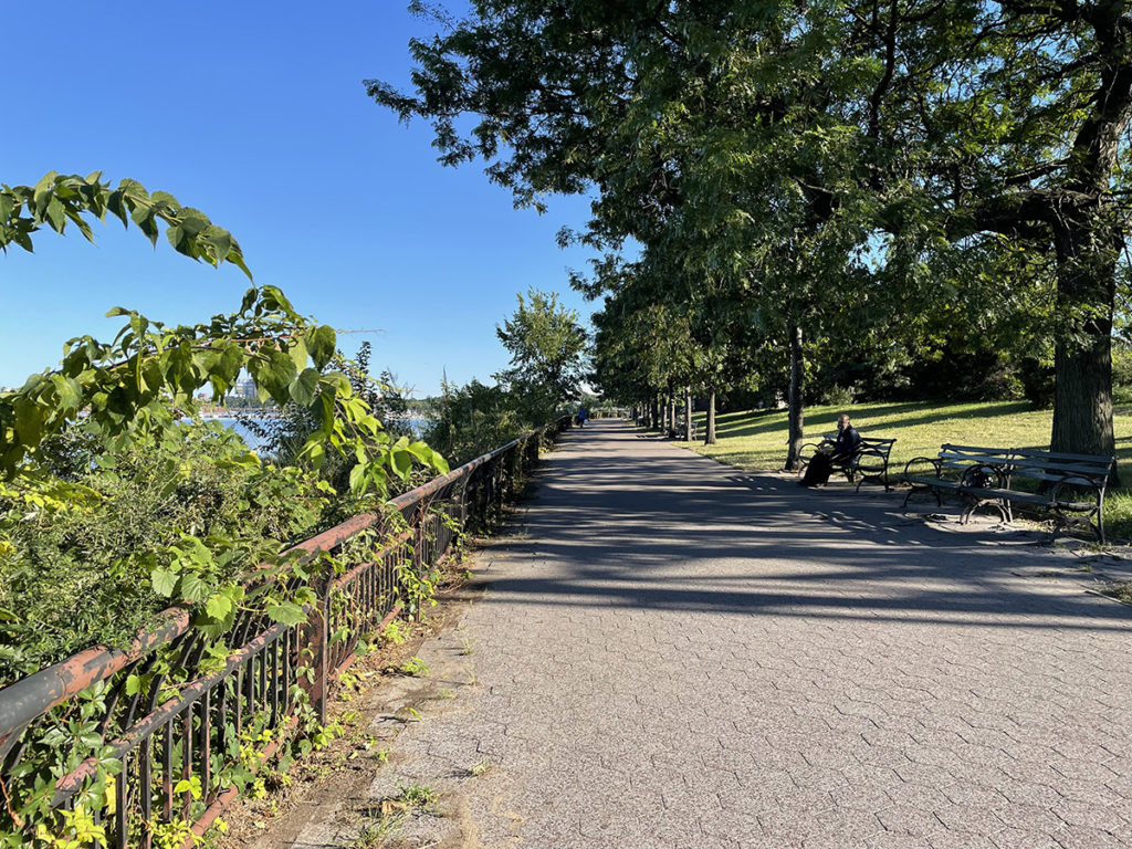
Eventually you get to a path that leads to the entrance to the Flushing Bay Promenade:

Which leads you here:

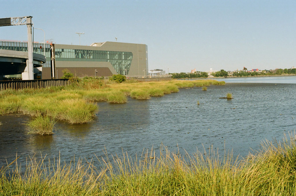
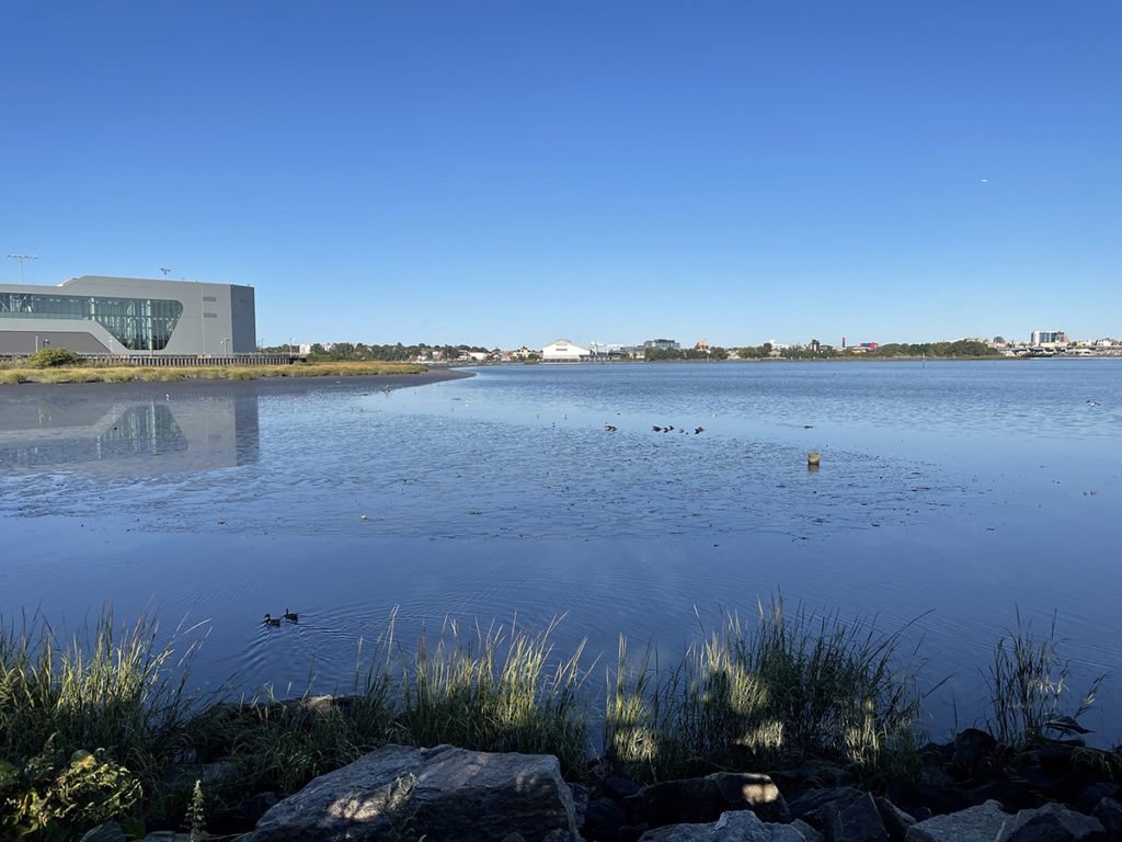
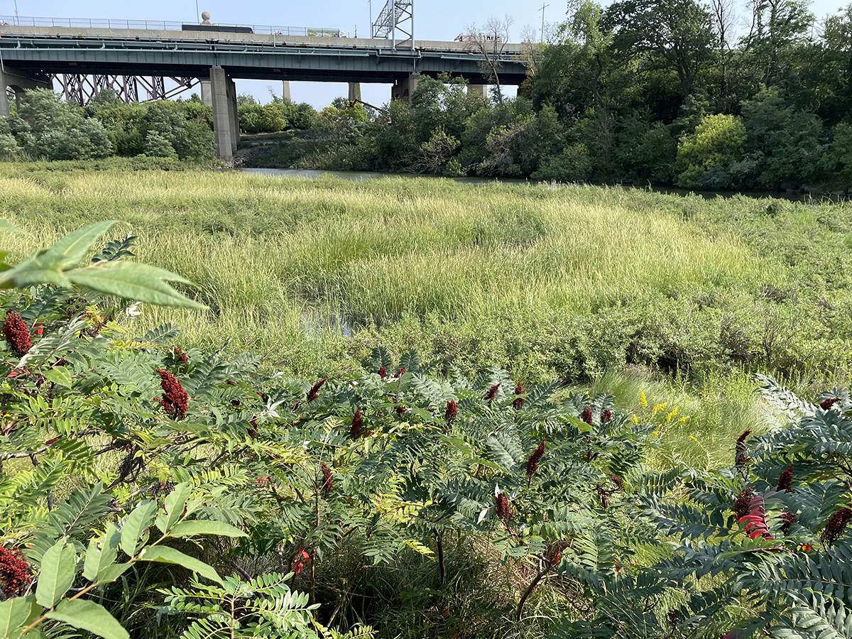
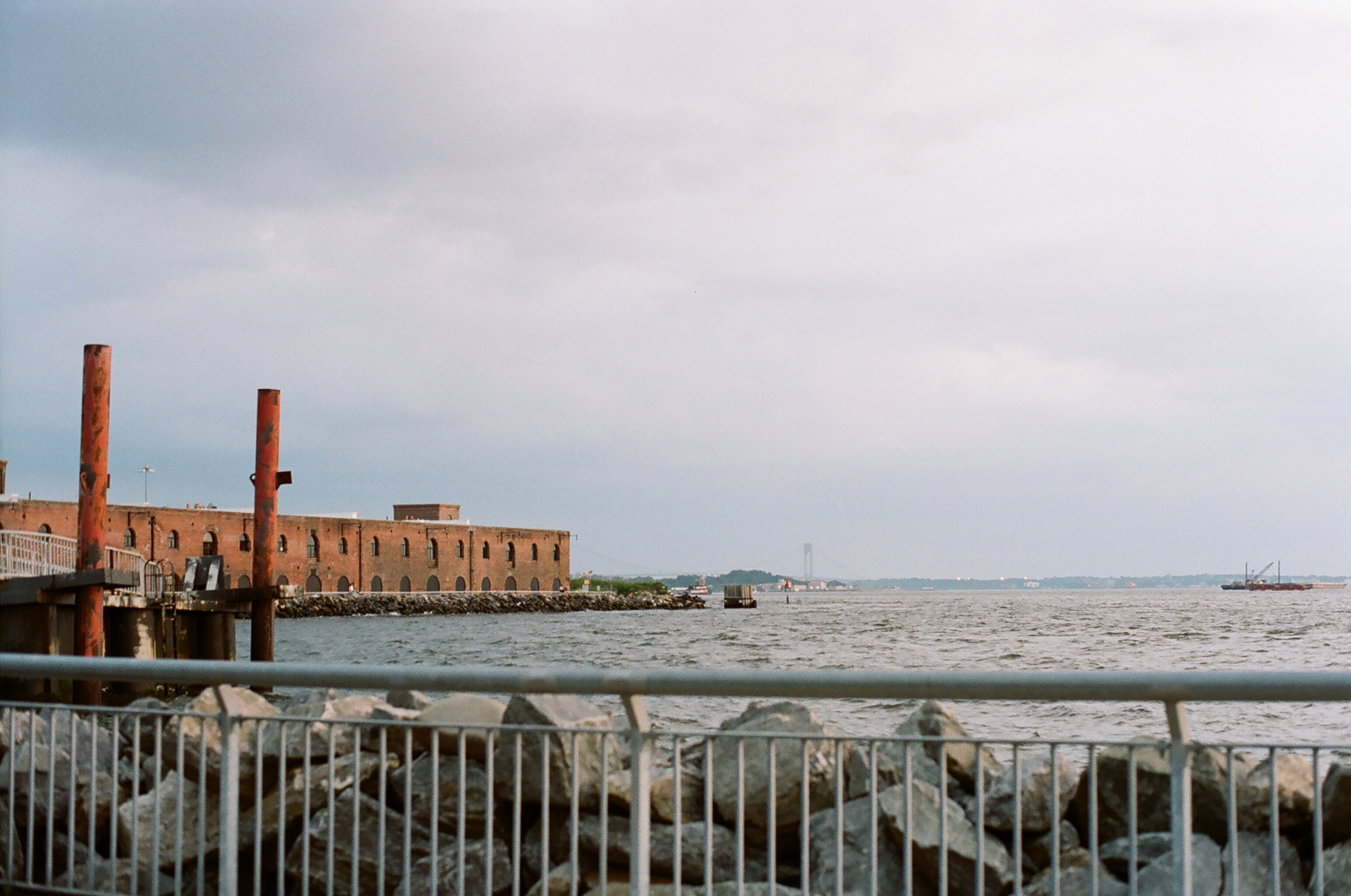
One of my favorite things, a marshy, under-appreciated body of water, this one called Flushing Bay. This bay is of course not as clean as residents would like (support and follow Guardians of Flushing Bay for more info), for the usual reasons: illegal dumping, pollution and runoff from the airport, storm runoff from some of the nearby highways, and of course, raw sewage when it rains, because there are TEN combined sewer outflows that empty into the bay. Combined sewer outflows are places where the pipes that take the rainwater from the streets and the pipes that take sewage from private homes combine, so that when there’s a lot of rain, the combination of the two is more that the sewer system can process, so a good bit of it bypasses the water treatment plant and goes directly into the nearest body of water, out of a pipe called a CSO. In this case, into Flushing Bay.

If you want more info on NYC’s sewer system and where it all ends up, here’s a great resource: https://openseweratlas.tumblr.com

Horrified? You can look up your sewer shed and download a map of the system. NYC DEP also has an app called Wait… that you can download to remind you to let it mellow and also don’t do your dishes/laundry during a heavy storm:

https://www1.nyc.gov/site/dep/whats-new/wait.page

Back to the walk: we stopped on the promenade for a very delayed lunch of enormous Italian sandwiches and dodged some enthusiastic yellow jackets.

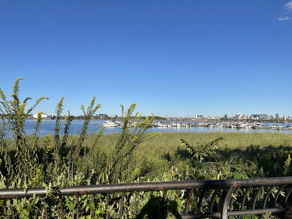
There’s a marina here, built for one of the two World’s Fairs that were held here in the middle of the last century, which is home to some of the dragon boat crews that practice here in Flushing Bay and nearby Flushing Meadows. The annual Dragon Boat Festival is coming up next month, FYI: https://www.hkdbf-ny.org/index.php

Teams have been competing in the man-made lakes in Flushing Meadows park since 1990, alongside traditional Chinese food stalls and performances in one of the largest dragon boat festivals in the US.

There is of course another overpass before you cross into the park, Flushing Meadows Corona Park, which we decided to save for the next leg.


GCP walk, Astoria to St. Michaels

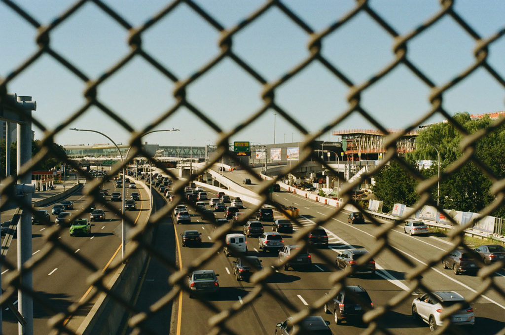
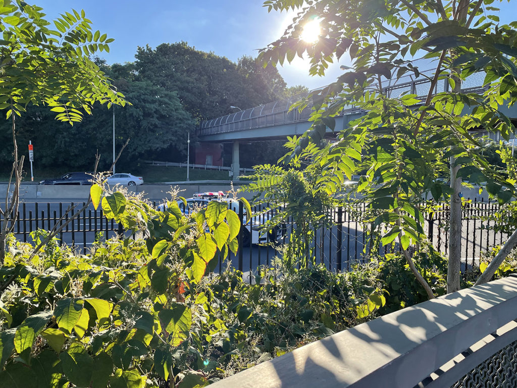
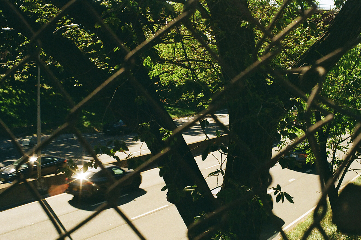
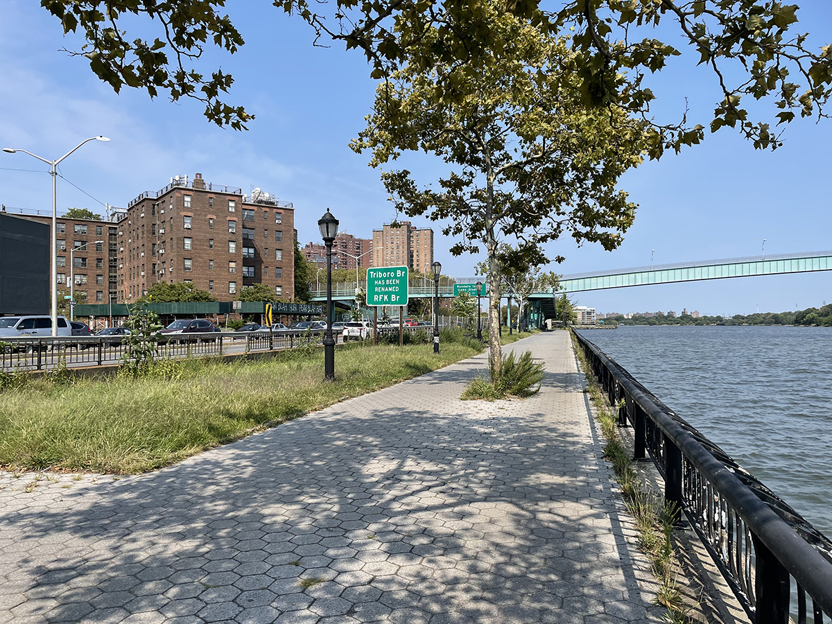
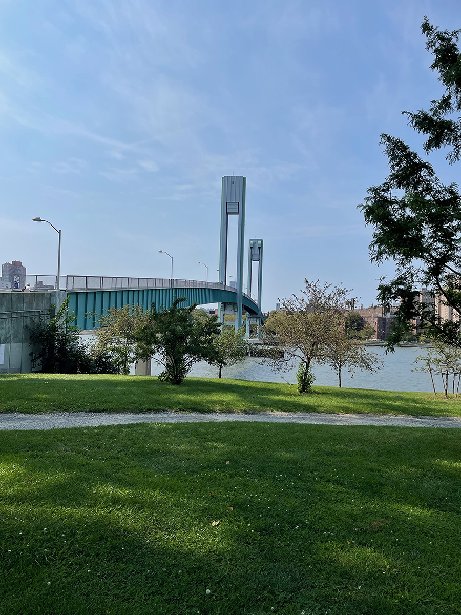
The Grand Central Parkway begins at the foot of the Triborough (RFK now, though I can’t remember to call it that) Bridge, overlapping with the BQE for a bit, in Astoria, Queens.

Astoria is quiet and residential and full of low-rise single family homes and brick townhouses. It was named for John Jacob Astor, in order to flatter him enough to convince him to invest in the neighborhood, which he reluctantly did. He never visited, though he could see the village from his summer home in Manhattan. At first it was a sort of a country get-away for the wealthy to relax.

During the late 1800s, there was an increase in factories and industry along the waterfront that brought German immigrants who were furniture and cabinet makers into the neighborhood. The most famous is probably Henry Steinway, the man who founded the Steinway Piano Company in 1853; he also built a sawmill, foundry, and streetcar line. The family created Steinway Village for the workers in their factories. 

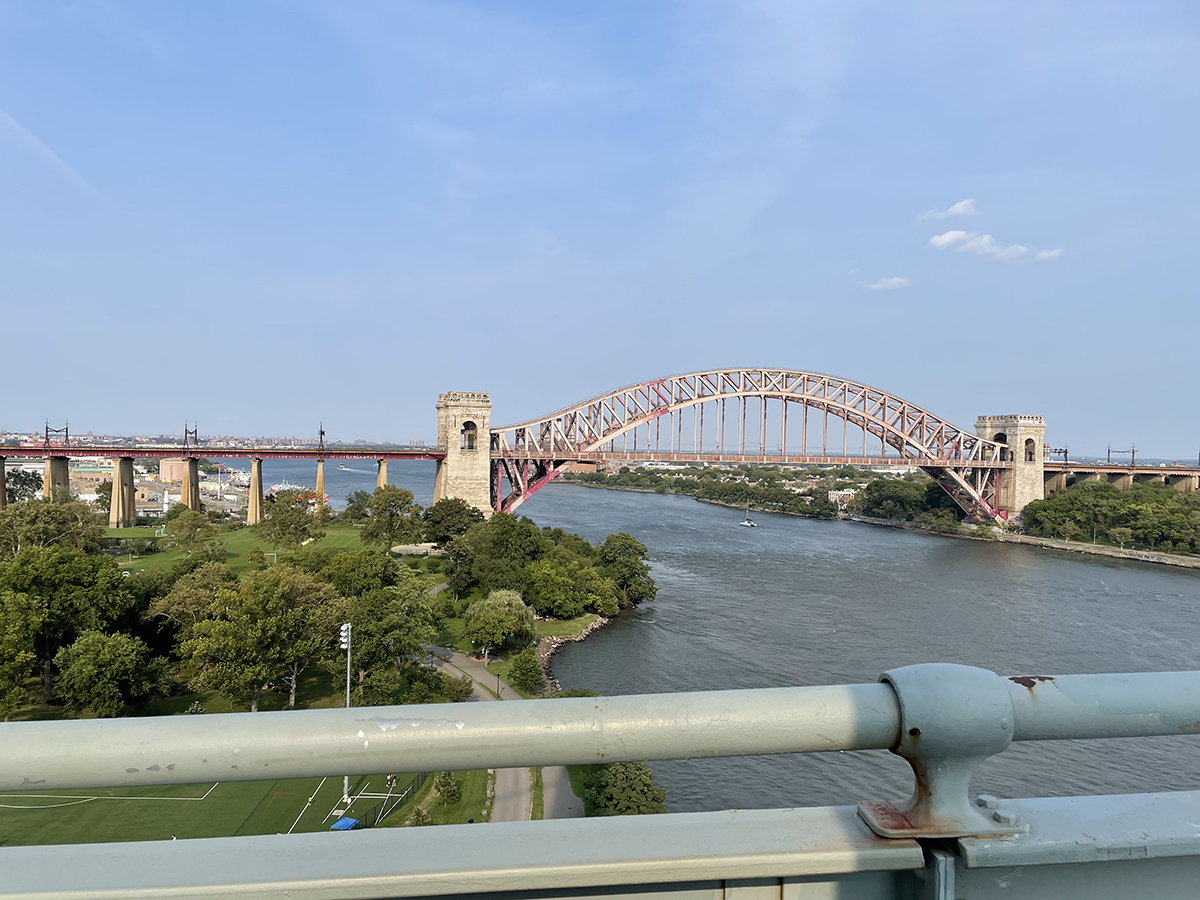
The approach to the Hell Gate Bridge, which carries passenger and freight trains over the East River, runs through the middle of the neighborhood just north of the GCP, and murals decorate its underpasses. We took our time wandering through Astoria before making our way towards the service road next to the Parkway.

The Grand Central Parkway itself forms a barrier between north and south portions of Astoria.

The GCP’s route mirrors a road called Astoria Boulevard that was obliterated when the highway was constructed, and now the service roads on the north and south sides are called Astoria Boulevard North and Astoria Boulevard South.

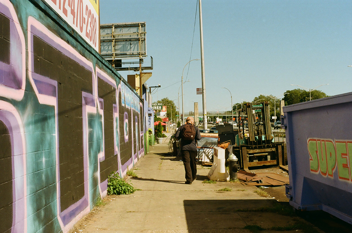
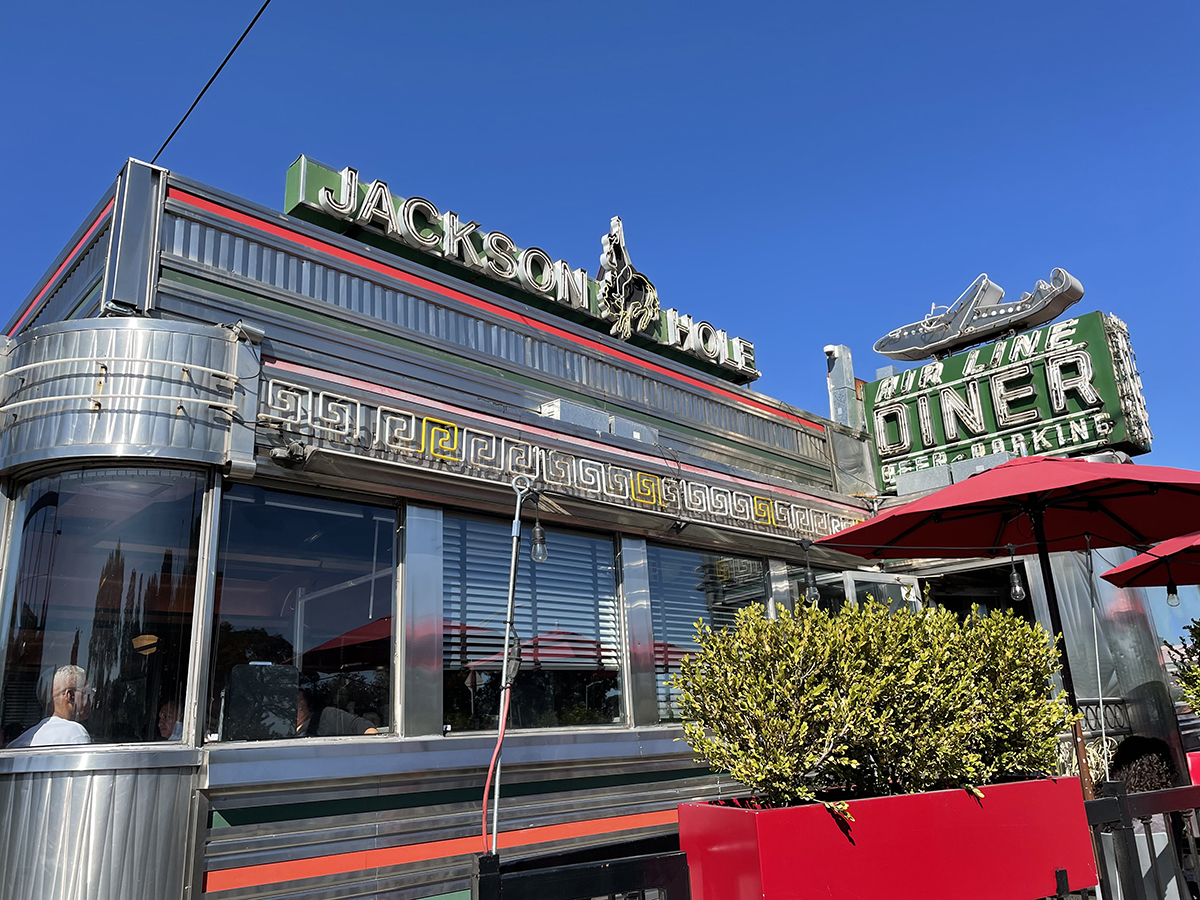
On the north side of Astoria Boulevard are some scrap metal shops, then a glorious diner called the Jackson Hole, with the most wonderful preserved sign. We enjoyed the sign, and then crossed over to Astoria Boulevard South, following the highway east towards Jackson Heights. 

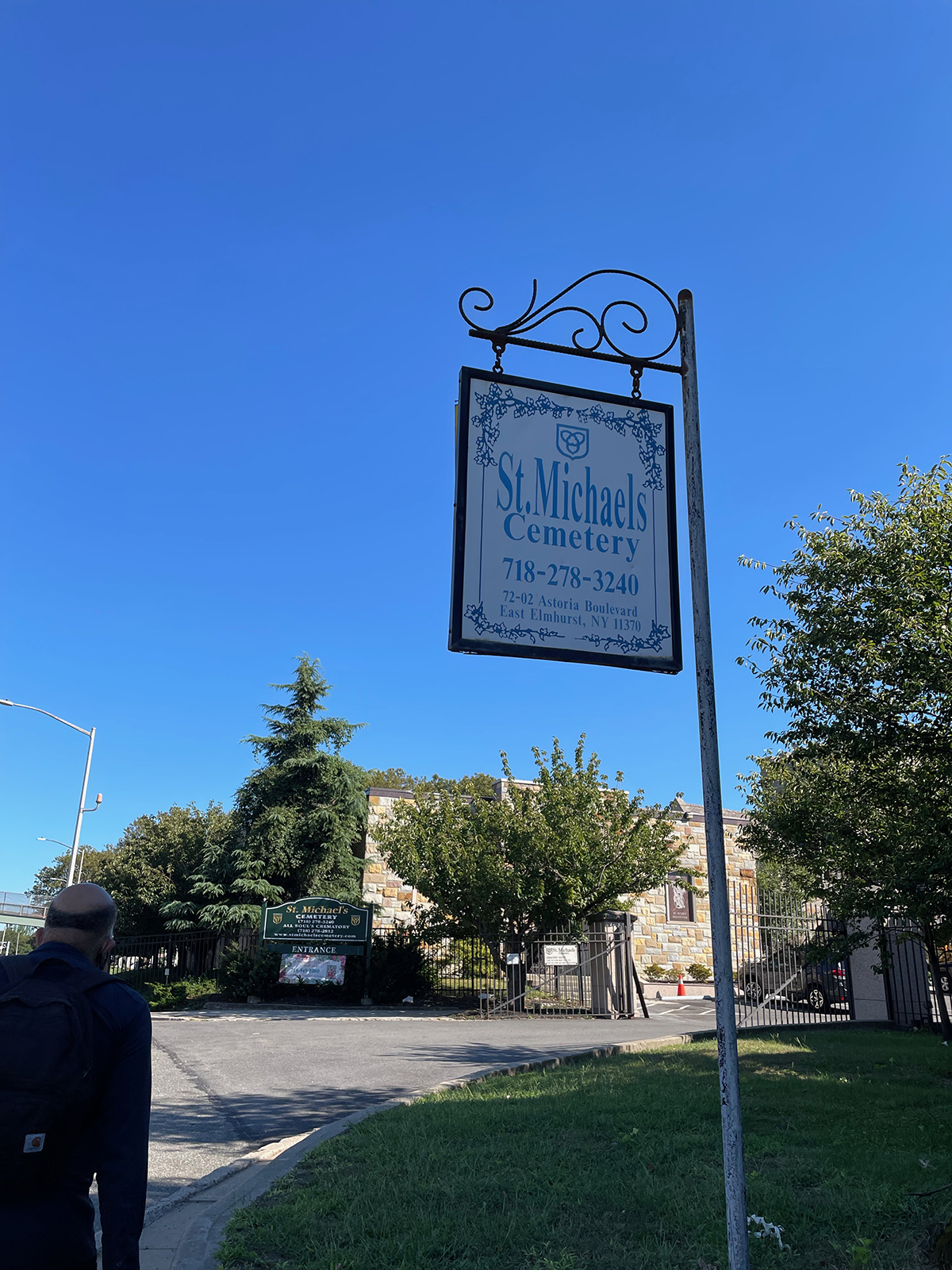
Along the northern edge of St. Michael’s Cemetery we walked on a narrow not-quite-a-sidewalk next to the access road that gradually disappeared, until we reached an entrance. 

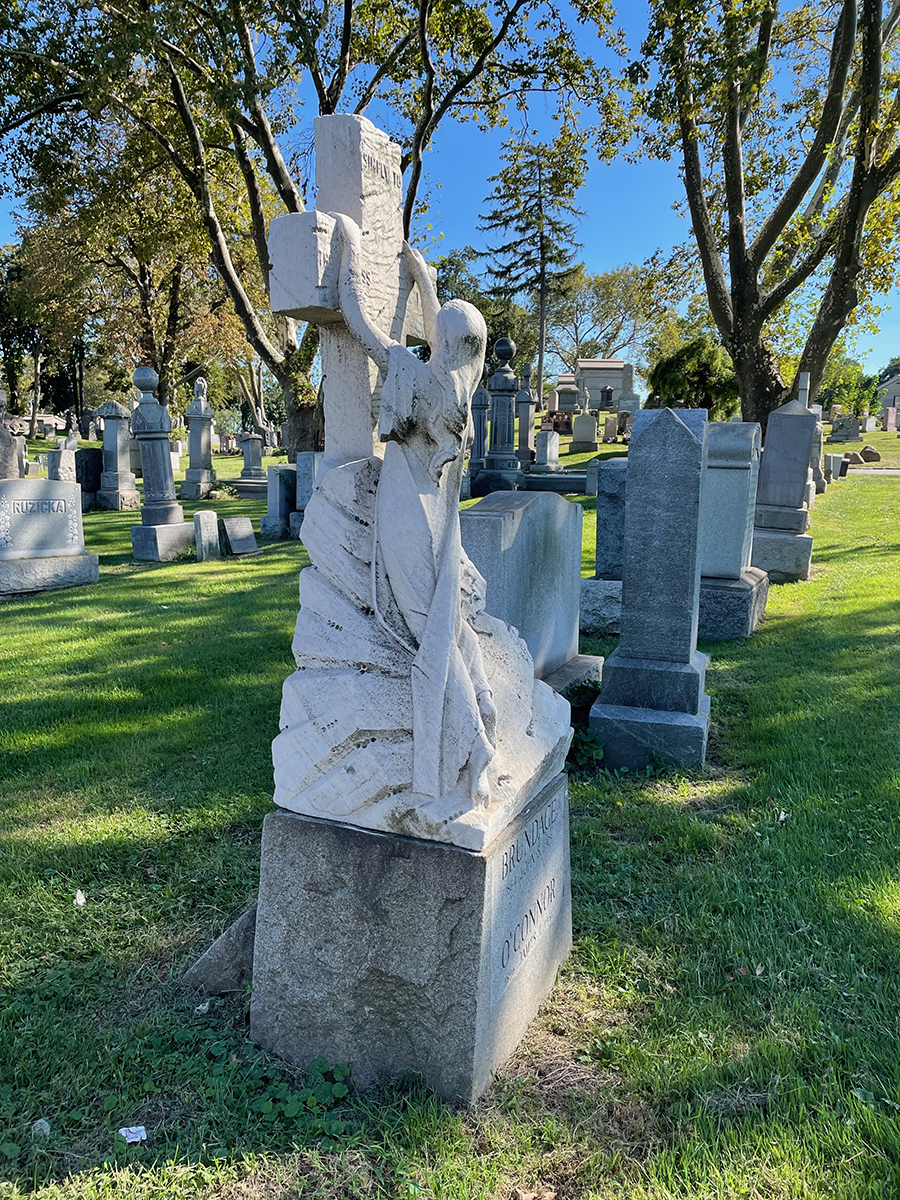
St. Michael’s is one of many cemeteries in Queens; there’s more than five million people buried in Queens, more than double the living population of the borough. St. Michael’s is one of the oldest in the city, dating back to 1852, one of a number that were opened after the state passed the Rural Cemetery Act, a law that encouraged the city of New York to bury its dead in areas outside of Manhattan, on undeveloped land. 

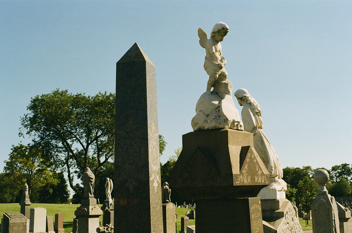
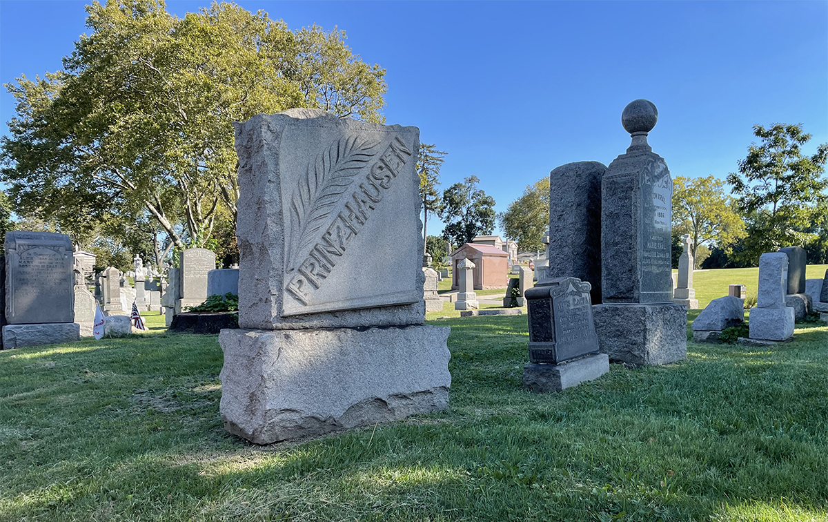
Rev. Thomas McClure Peters purchased the land to start this cemetery in order to provide a resting place for the poor and working classes in the city, and the names on the plots tell a story about the different waves of immigrants who have arrived in New York City over the past 170 years, from German to Italian and Greek, then Chinese, Korean and Hindu family names.


Bridgewalking

Category : art, inspiration, walking

I’ve been working on the last pamphlet of three in a series on parkways. This past fall I started researching/walking the Grand Central Parkway, a 14.61-mile highway that starts at the Triborough/ RFK Bridge on the western edge of Queens and runs all the way through to the Queens/ Nassau County border. This is the kind of project I needed to break up into smaller parts, since you can’t really walk the entire length of the parkway in one go. I decided to start at the beginning, the bridge that leads into Queens and feeds into the parkway.
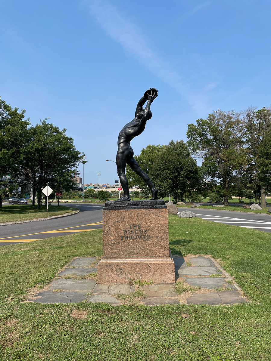
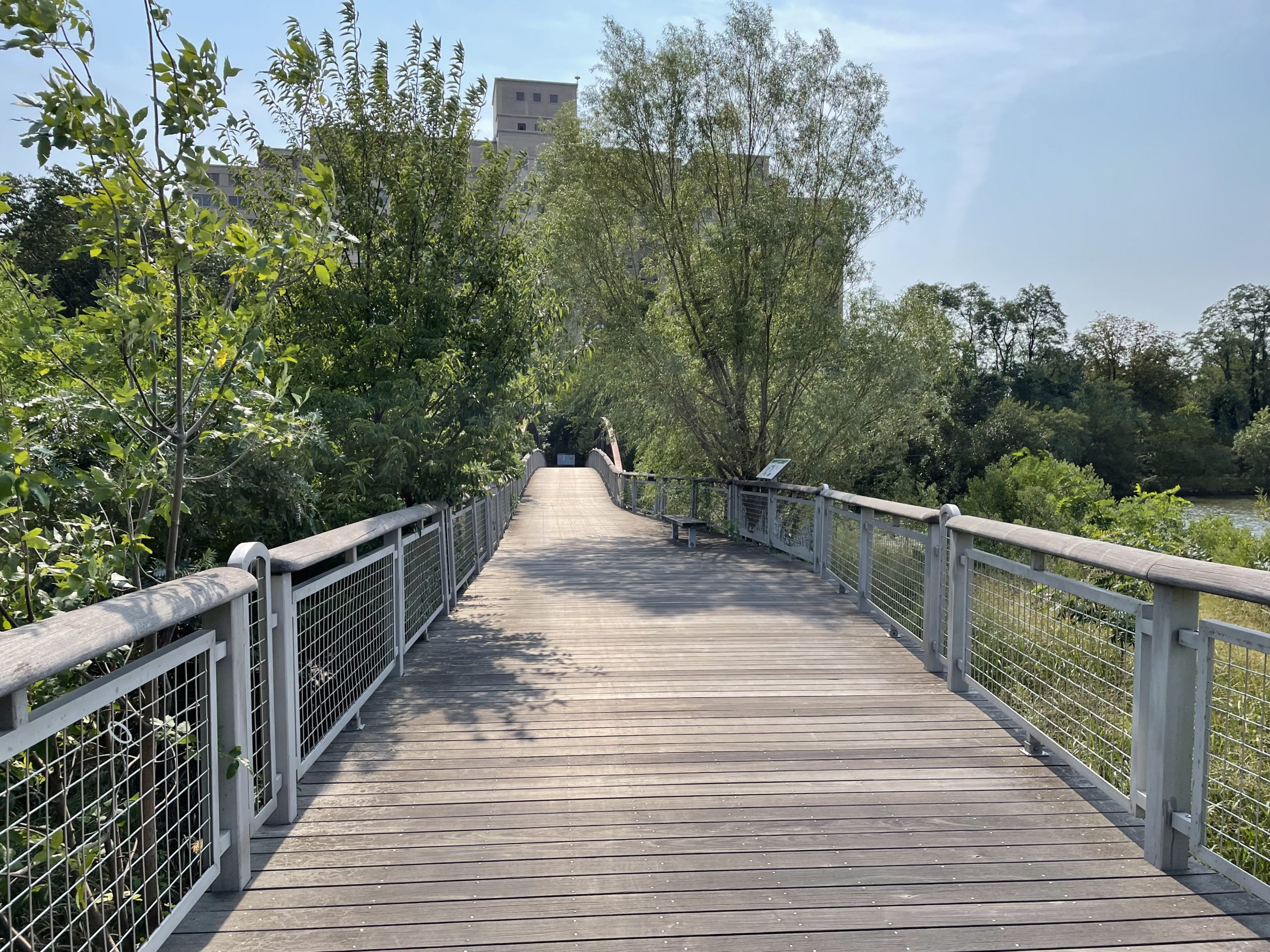
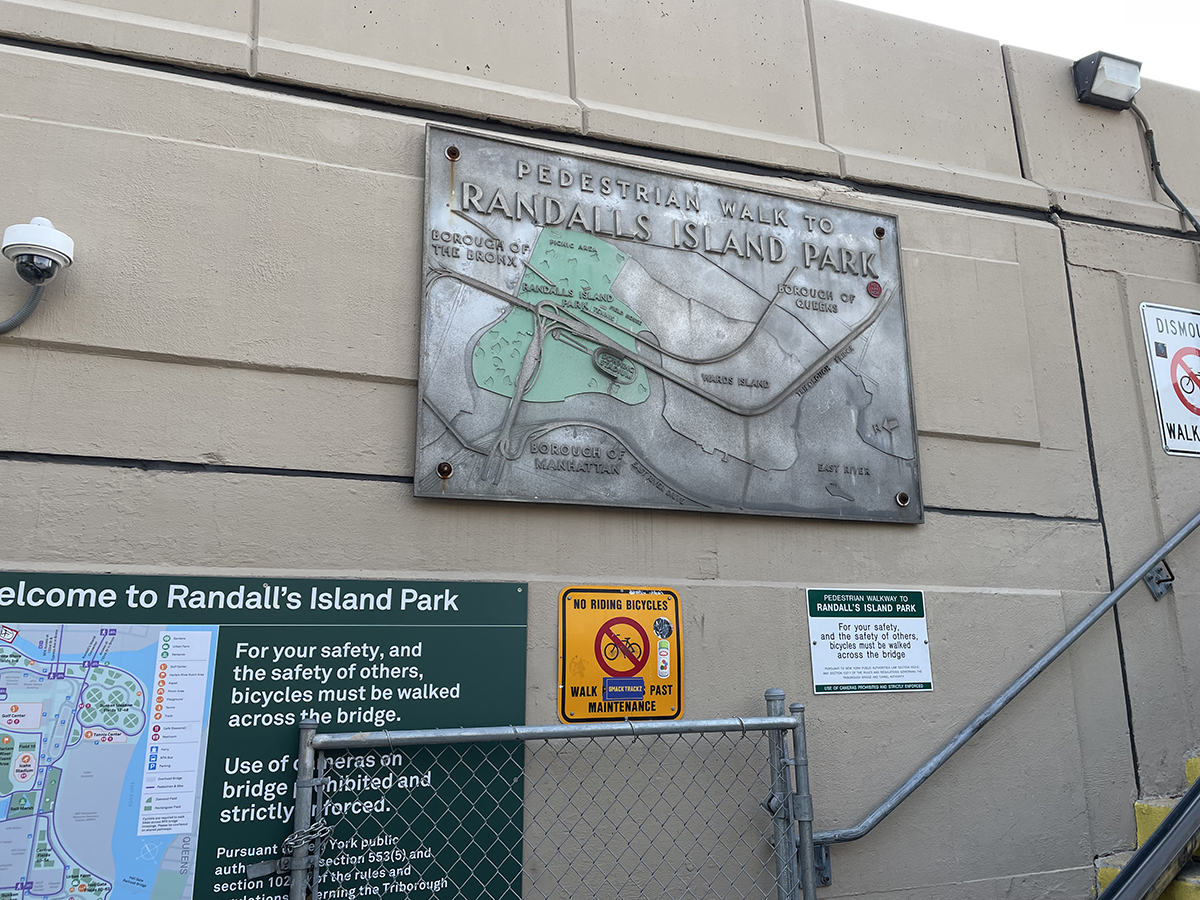
There’s a pedestrian bridge from the east side of Manhattan that gives access to Randalls and Wards Islands, two bits of land that used to be separate but are now joined together by landfill.

There’s all kinds of exciting things to see here, marshes and parkland and an urban farm, sports fields, music festivals in the summertime, a waste water treatment plant, and a maximum security psychiatric facility, all of the various things you might find on one of the minor islands of the New York City archipelago.

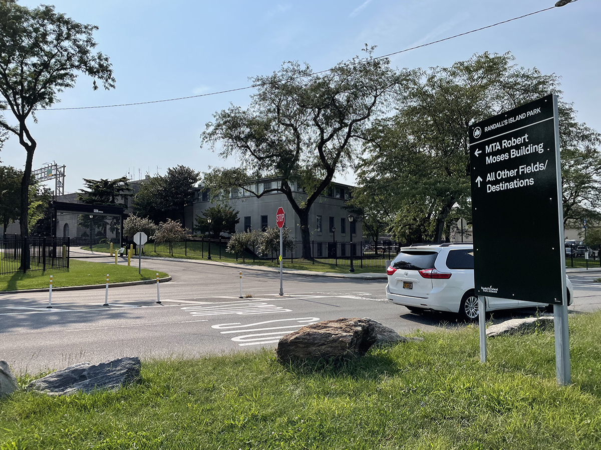
We tried to walk to the former headquarters of Robert Moses, the urban planner who built the RFK bridge and the Grand Central Parkway, the head of the Triborough Bridge Authority, whose toll plaza gathered the funds that drove development throughout the city.

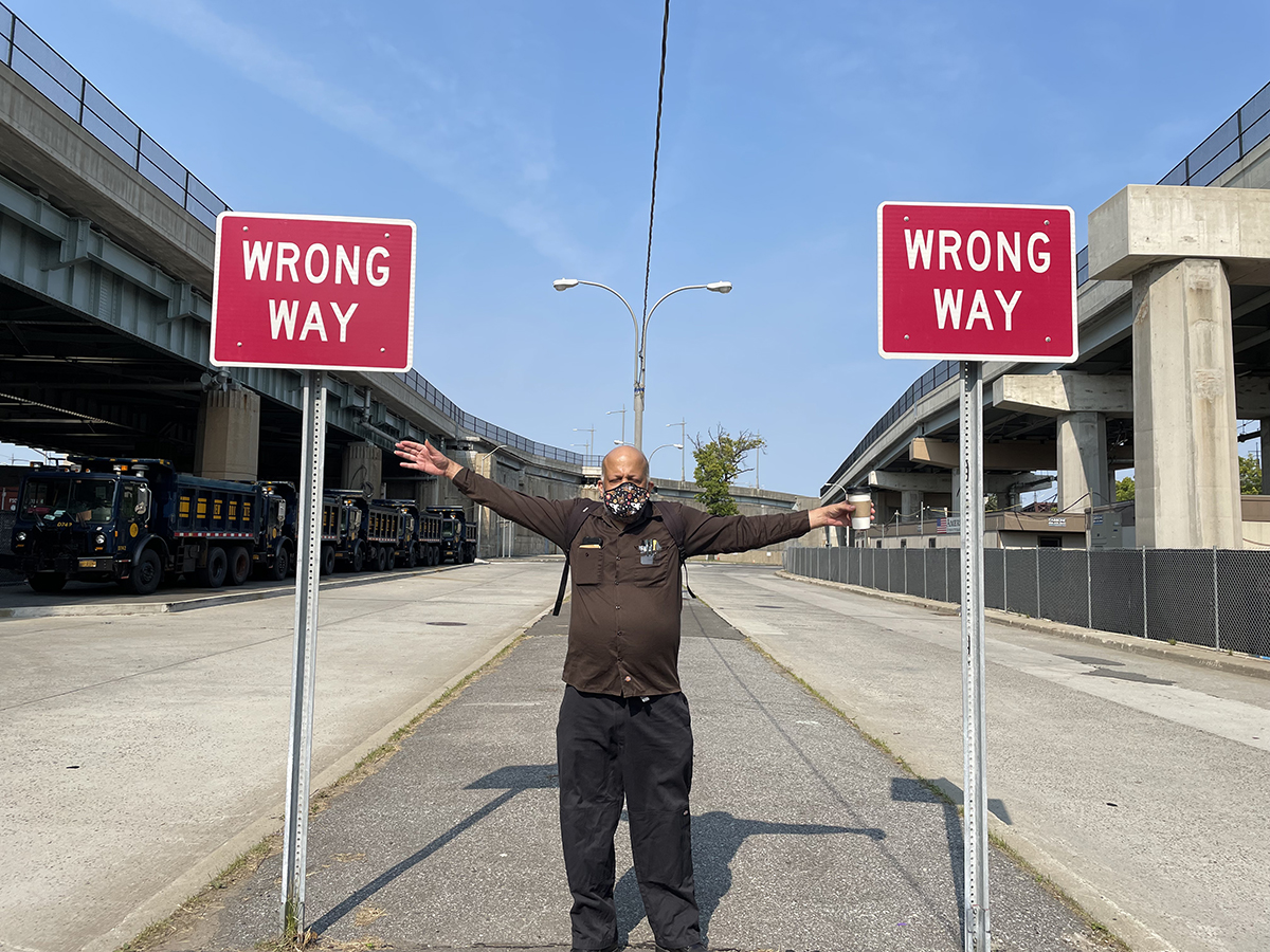
Walking there proved to be difficult. Which is fitting, really.

Eventually we avoided the highway and got there.

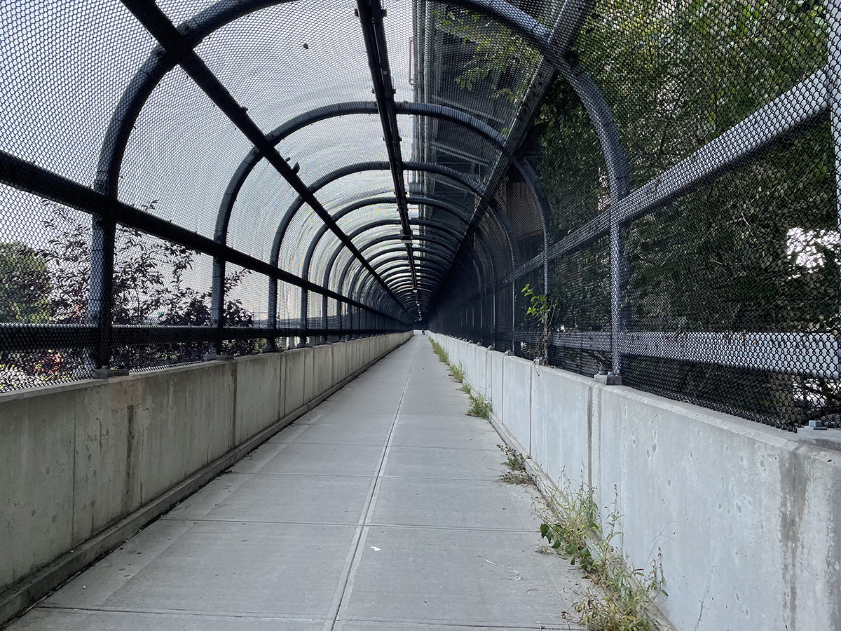
Then from the south end of Wards Island there is a pedestrian access path to the RFK Bridge, which leads into Astoria, Queens.

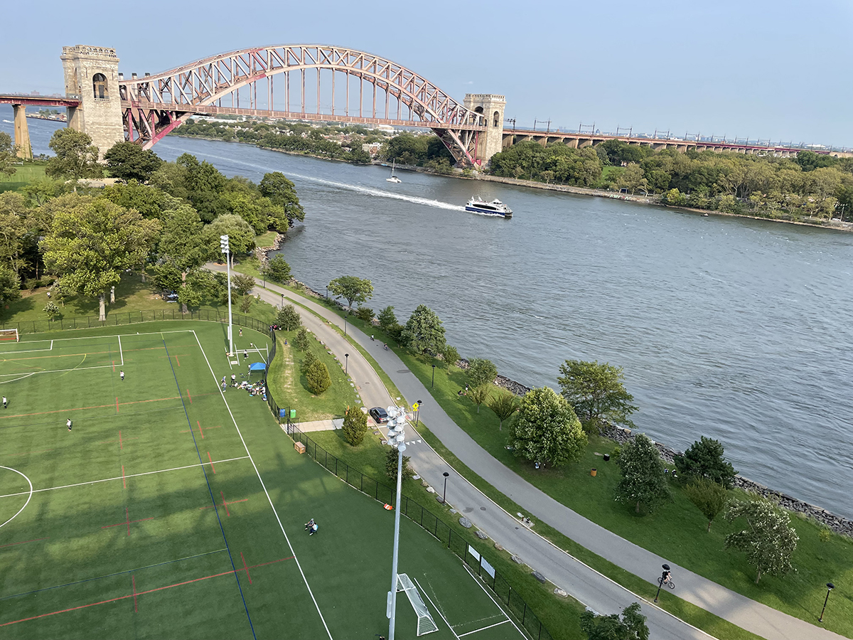
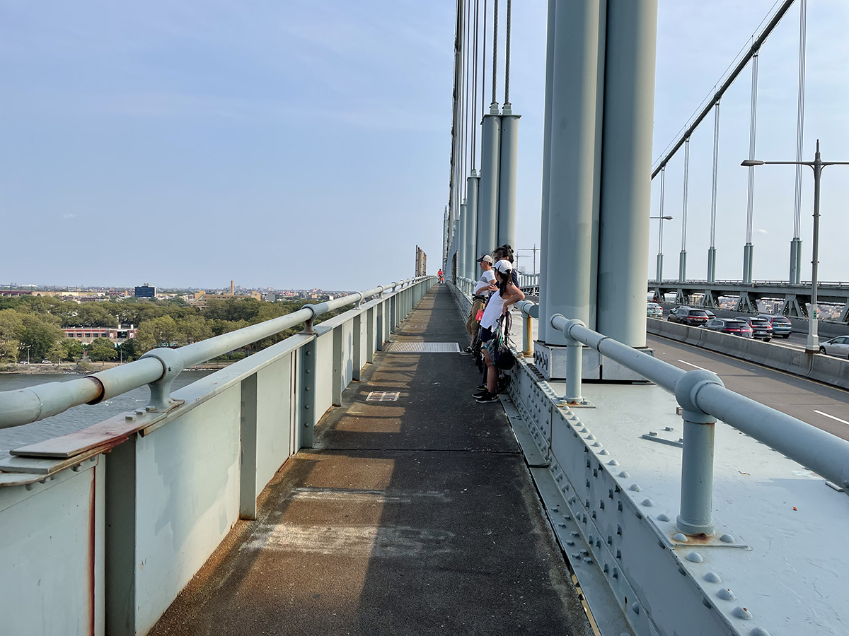
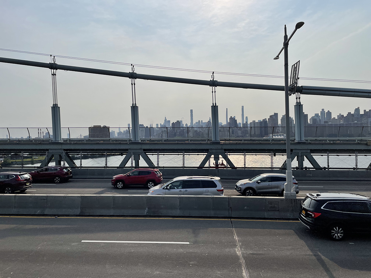
The pedestrian path is relatively less well known and traveled over than other bridge paths over the East River. It has these expansive views of Astoria, Randall’s Island ball fields, the East River and the nearby Hellgate railway bridge. But there’s no fencing for most of it, just a low four-foot railing, which means anyone prone to vertigo should probably avoid it. 

If you enjoy that edge of terror and excitement you get to see something beautiful you wouldn’t see otherwise. Infrastructure nerds will love it.

Towards the end of the path on the Queens side is a suicide prevention emergency phone; four people since 2015 have jumped to their deaths here. There’s a staircase at the end of the path that takes you to the base of the bridge. 

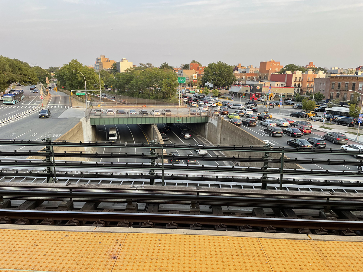
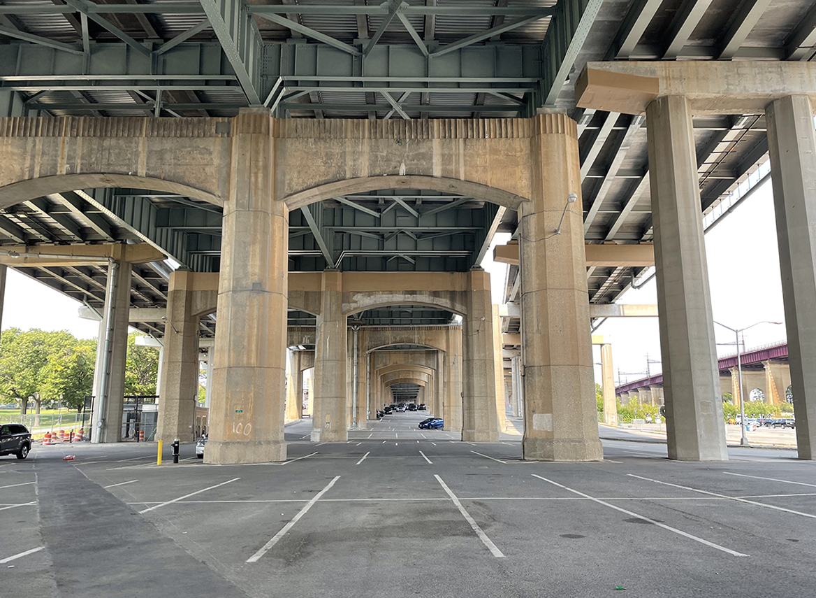
In Astoria the bridge feeds into the BQE and the Grand Central Parkway, which overlap for a bit before splitting into two separate highways. We stopped our walk here for the day and planned to start again on the next section the following week.


Pacific Islands

Category : art, book
Pacific Islands

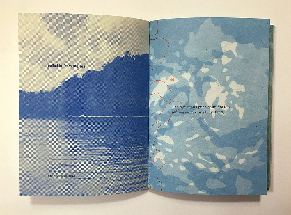
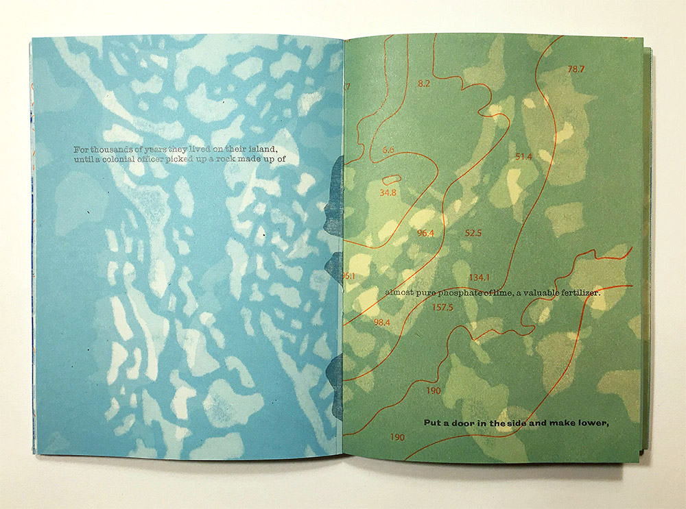
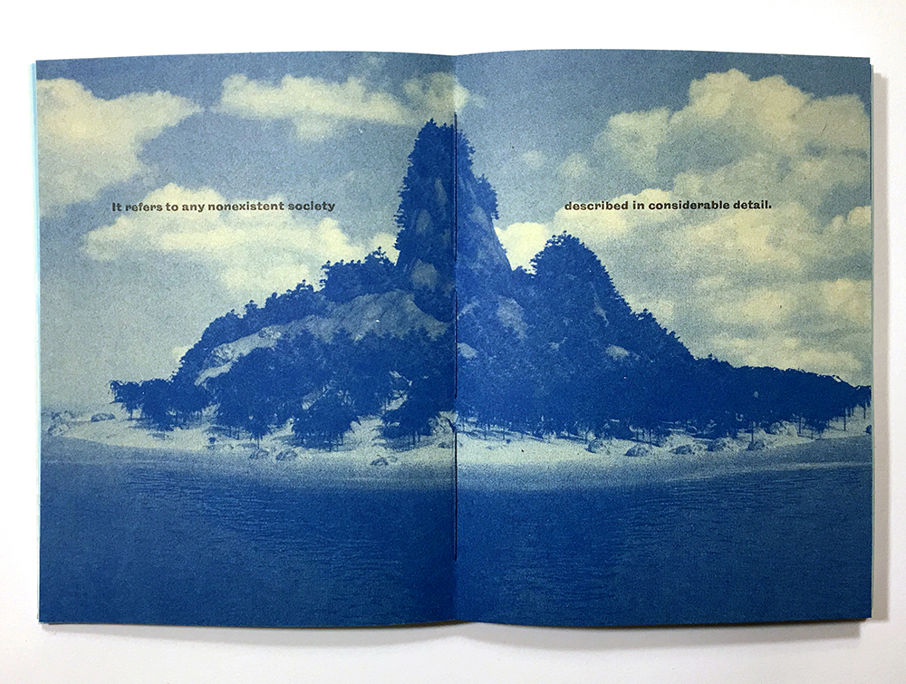
As you read through Solastalgia, the narrative moves from idealistic projections onto islands, into the stories of particular, real islands, focused particularly on islands in the South Pacific, specifically Nauru and the Marshall Islands.

Nauru is a tiny bit of land, settled by Micronesians and Polynesians 3,000 years ago. It was once called Pleasant Island by the Europeans when their whaling ships stumbled onto it. Nauru was annexed by the Germans in the 19th century, who controlled it until after World War I, when it came under the control of Australia, New Zealand, and the United Kingdom. It became a fully independent nation in 1968.

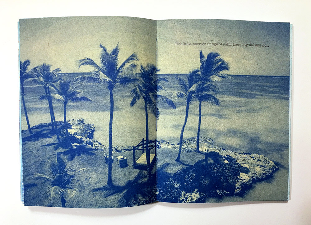
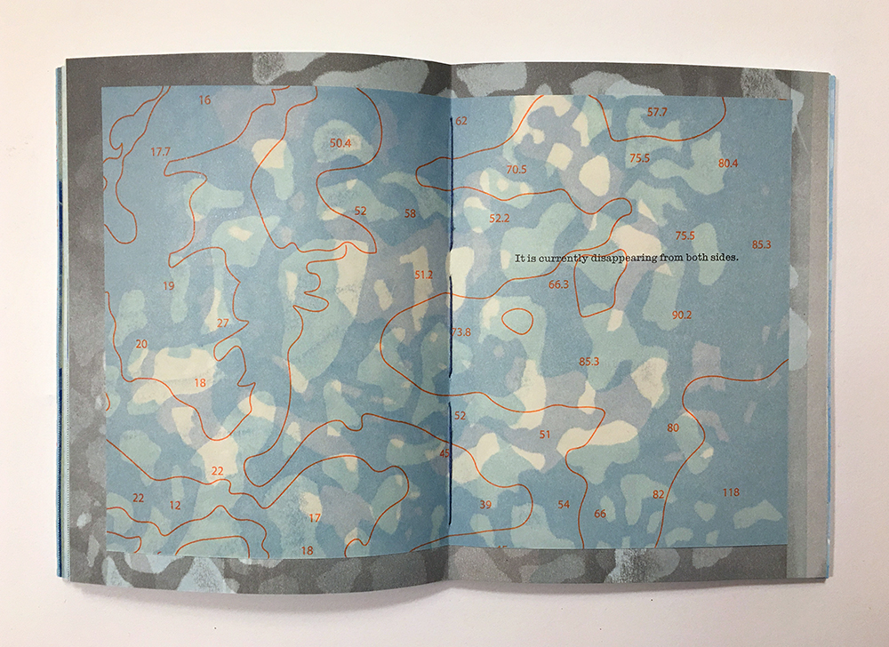
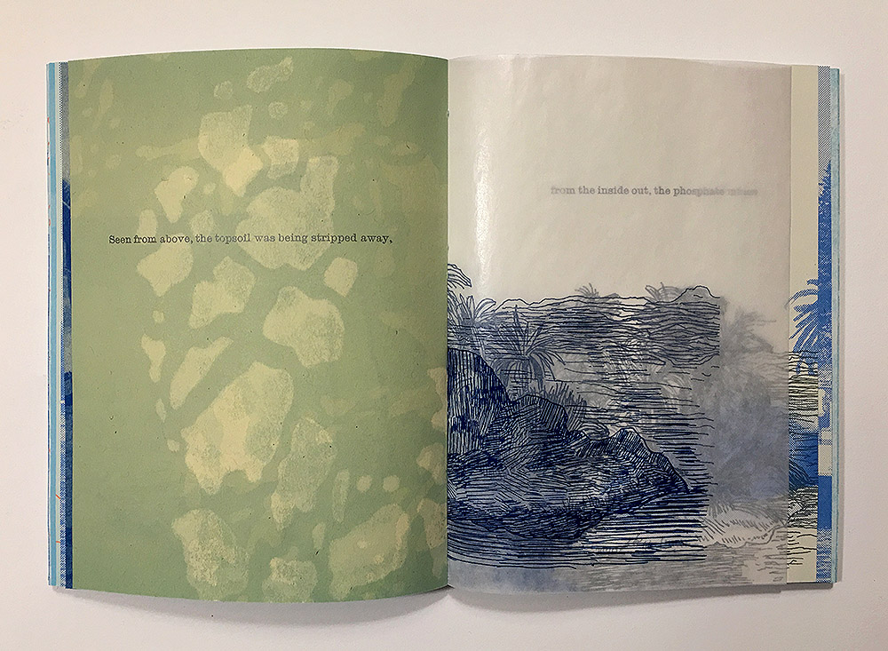
Nauru is rich in phosphate, a natural fertilizer, which was strip-mined on the island throughout the twentieth century. Visitors to the island found as they approached from the sea, an idyllic line of palm trees lining a white sandy beach. In traveling to the interior of the island however, they found that the land had been stripped down to its coral bones. The center of the island was rendered uninhabitable and largely infertile, and most residents and businesses lived and worked on the coast. The phosphate was mined and shipped away by European companies to fertilize other peoples lands, and the money that the resource generated was badly invested, leaving the country short of options once the mining reserves began to be tapped out in the latter half of the century.

To earn income, Nauru briefly became a tax haven for those wanting to avoid paying taxes, and an illegal money laundering center for Russian gangsters. Eventually Nauru signed on to house refugees and migrants for the Australian government, who built an infamous prison camp on the island, referred to as “the Pacific Solution”. Briefly closed in 2008, it reopened in 2012 and continued to house asylum seekers and refugees from Iraq, Syria, Sudan, and Afghanistan, among others, who attempted to sail to Australia and were detained in squalid conditions. After numerous reports of human rights violations, riots, and hunger strikes, the camp housed 10 asylum seekers at the end of 2018, down from a high total of 1233. Nauruans have protested the closing of the camp, as the loss of the deal with Australia will represent a loss of a valuable source of income for a nation in desperate need of cash. The climate refugees of the future have been recruited to play warden for the political refugees of the present.

Nearby in the Marshall lslands, a large chain of volcanic islands with some of the lowest elevations in the south Pacific, the younger generation is preparing to leave their home.

The older generation on the islands have lived through the atomic bomb tests of the twentieth century. During the Cold War, the United States military detonated 67 nuclear bombs on or close to the nearby Bikini Atoll and Enewetak Atoll. Tests were carried out here because American scientists judged that the islanders were “more like us than mice” and could therefore give them more useful data on the effects of fallout on a human population. Because of this complicated history, Marshall Islanders can live and work in the US and communities have grown in states like Arkansas and Oregon, in anticipation of a drowned future. Saltwater inundation is already beginning to kill plants and trees on the islands. The political leadership on the islands have lead the fight in international arenas on climate debt, the attempt to balance the scales by getting developed nations to compensate poorer ones who feel the effects of climate change first and more severely, while having fewer resources to adapt to new realities.

But the question remains for nations like the Marshall Islands and Nauru: how will they maintain a national identity once they are forced to leave their homes? Is it possible to maintain their sovereignty once their populations are in exile?


Atlantis

Category : art, book, inspiration

The first section of my new book is about the role that islands play in our collective imagination. One of the reasons I wanted to make a book about disappearing islands is the disconnect between the images we create and consume of islands, and the actual lives lived on islands. Our understanding of islands and of islanders is partly informed by all of the stories told about islands, most of which are examples of projected desire.

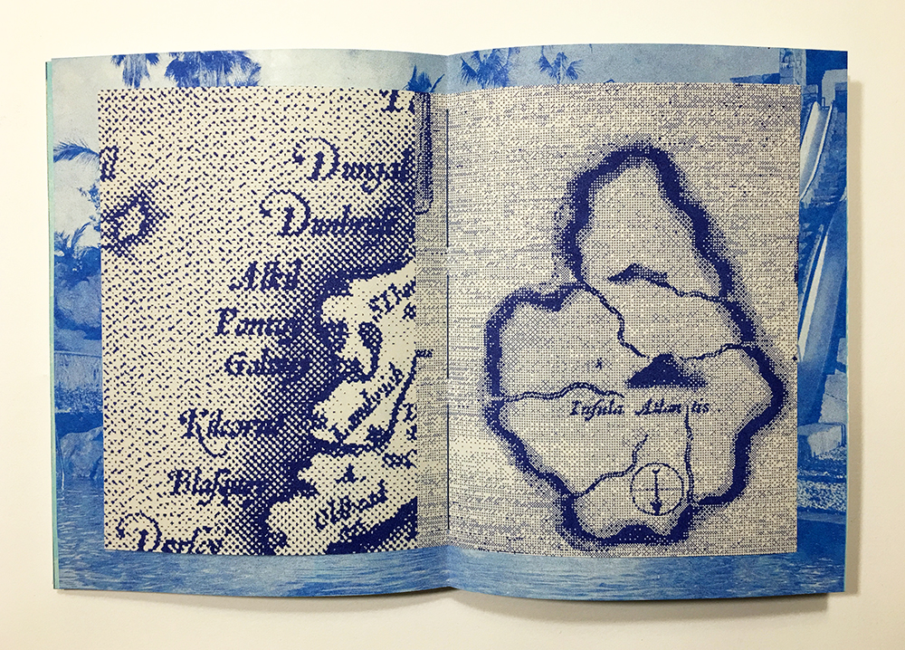
Atlantis is the classic disappearing island myth, and the descriptions of it demonstrate this. Plato was the originator of the Atlantis myth, writing about the fictional island within a larger allegory of nations, where it plays antagonist to Plato’s ideal state of Athens. He describes the people of Atlantis like so in his dialogue Critias:

They despised everything but virtue, caring little for their present state of life, and thinking lightly of the possession of gold and other property, which seemed only a burden to them; neither were they intoxicated by luxury; nor did wealth deprive them of their self-control; but they were sober, and saw clearly that all these goods are increased by virtue and friendship with one another, whereas by too great regard and respect for them, they are lost and friendship with them.

In the end, Athens defeats Atlantis, the gods turn on the island, and it sinks into the Atlantic. But our impression of the place remains that of a lost paradise.

Beginning in the sixteenth century, scholars in Europe began to associate the myth of Atlantis with the New World, and writers begin to embellish on the story of Atlantis in far-fetched works of pseudo-history. The story of Atlantis became part of the popular imagination again because it fit into larger utopian and/or apocalyptic allegories about societies that scholars were interested in. But it was often presented as literally true, and there were competing theories for where Atlantis had actually been located. For Europeans, large areas of the world that no one had suspected were there had suddenly emerged, and if that were true, there may very well be a large lost island somewhere under the Atlantic.

Atlantis: The Antediluvian World is a book published in 1882 by Ignatius L. Donnelly, an American congressman, writer, and amateur scientist. In it, he argues that the fable Plato had spun was literally true and that Atlantis was destroyed during the same event that Noah experiences in the Great Flood of the Old Testament. In fact, all ancient civilizations were descended from this one lost island. The ideas that Donnelly explores in his book are the source of many of the funny ideas we have in our heads when we think about Atlantis today: a place full of advanced-for-its-time technology, the mythical lost birthplace of all civilizations, a place sacrificed in a struggle between good and evil. Atlantis is the stand-in for all lost utopias.

And islands in general are often conceptualized as utopias; the ideal place off the coast of nowhere. Utopia literally means nowhere; the word comes from the Greek “ou” meaning not and topos, meaning place. Not-places are made to be dreamt about from a distance, as in Thomas More’s book Utopia, about a fictional island society and its social customs. And More’s Utopia, like most European stories about islands, is an island in the New World, a place he can describe but not be a part of.

In practice, Europe colonized the islands of the New World, which means that island utopias are meant to be idealized, then conquered, then exploited, until they are no longer utopias. Colonialism and stories about island utopias go hand in hand.


Solastalgia

Category : art, book, inspiration, time

I finished printing a new book last month and am deep in the binding process. I thought I would write a few posts about the book and my research into disappearing islands.

Solastalgia is a word I came across in connection to climate change. It was originally coined by Australian environmental philosopher Glenn Albrecht to refer to the mental or existential distress caused by environmental change, originally in relation to places being decimated by the mining industry. The word is a portmanteau of solace and nostalgia, and is meant to reflect the anxiety produced when your sense of place is being violated, the sense that you’re losing your home while you are still at home.

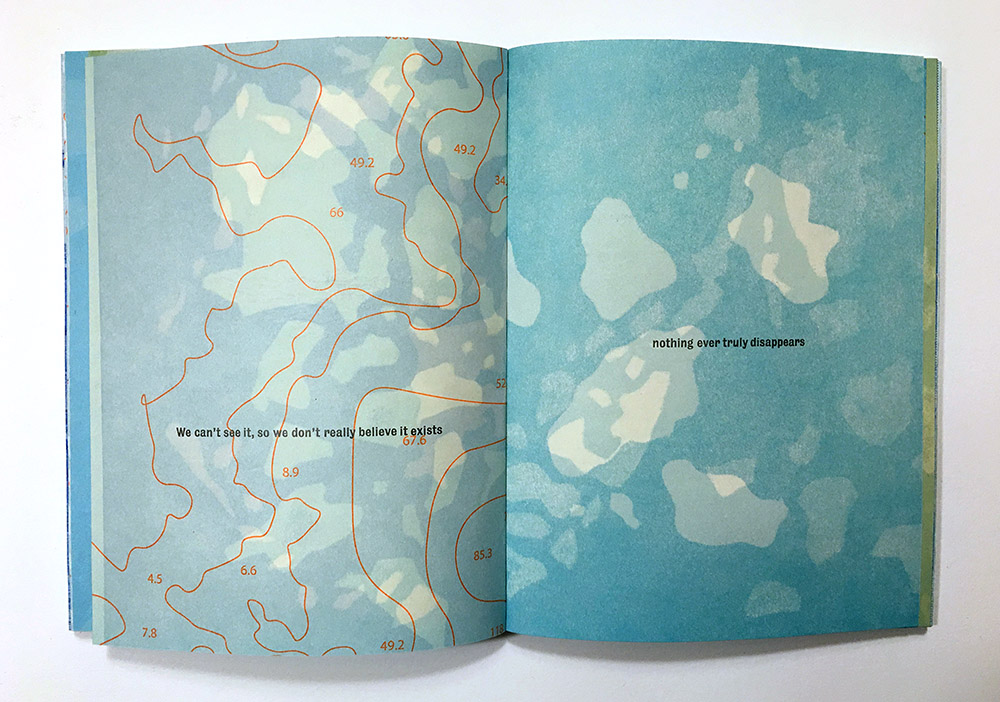
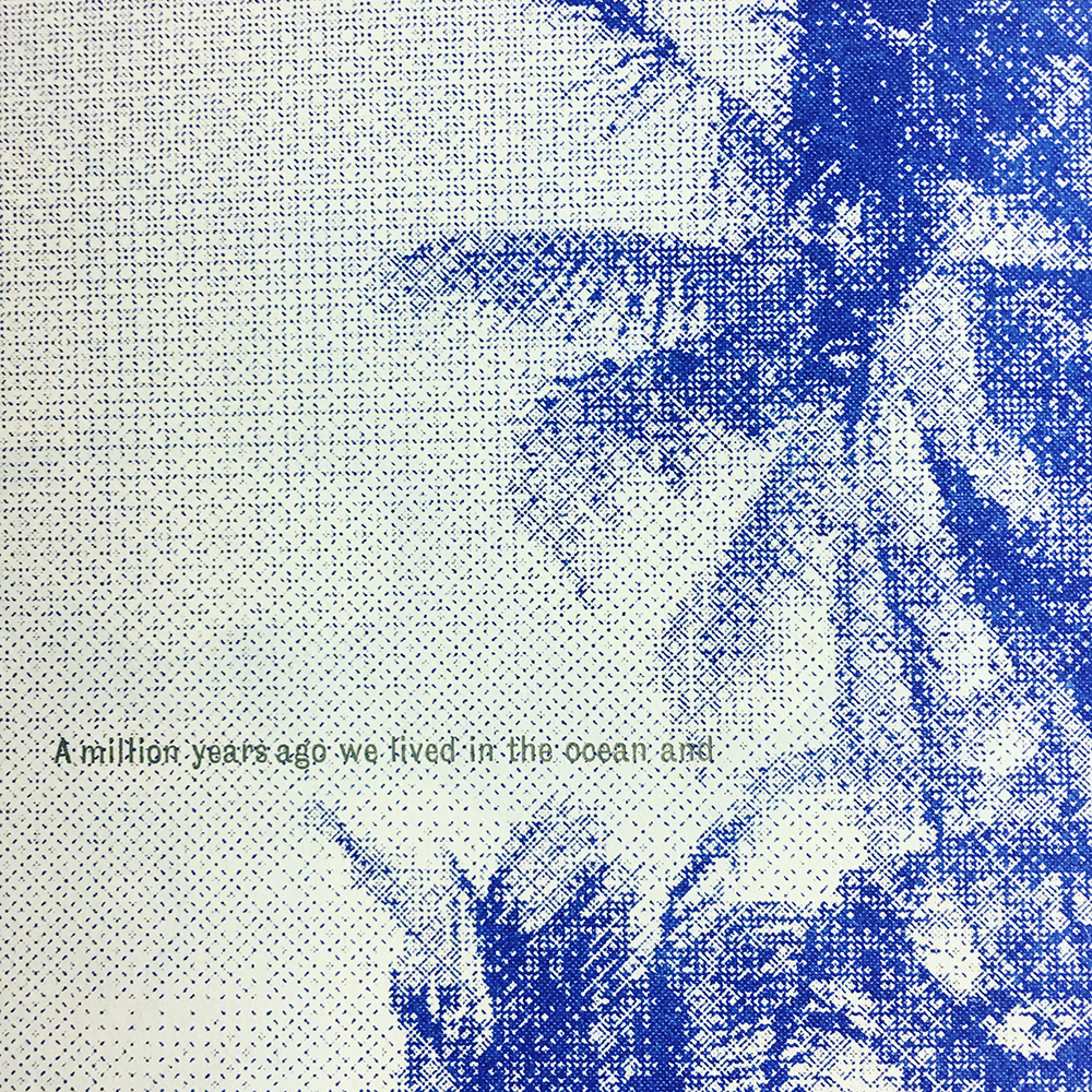
I wanted this book to encompass a few different things, and one of them was the sense of loss experienced while the world changes around you. Climate change is both slow-moving, in terms of the timescale of politics, and fast, in terms of the pace of landscapes and how they shift and degrade. One of my goals was to talk about groups of people experiencing the immediate effects of climate change right now, in the present, and the willful denial of their experience by people in positions of power. I also wanted to make tangible visual art out of a process that is often described as invisible (though I don’t think it is.) Similarly, tiny islands described as “the middle of nowhere” are often invisible, inaccessible, distant places we project fantasies onto; I wanted to make a book about what it is like to live there, and be a person from “the middle of nowhere”, because nowhere is somewhere for some people, many of whom are in the midst of being displaced now.

The word nostalgia is a trigger for me; I think as a letterpress printer it gets thrown around a lot, as an assumption that anything made using obsolete technology is by definition nostalgic. I think that I disagree with that. There are certainly lots of examples of fuzzy-headed sentimental letterpress work around, I can’t argue with that. But I think it’s possible to use a technique and visual language based in history as a way to tell a story that is rooted in history. And I think that history done well is the opposite of nostalgia. History in this book takes the forms of an account of the colonization and exploitation of Nauru, a tiny island in Micronesia, and the nuclear test bombing of the Marshall Islands. Sea level rise for islanders is only the most recent change in a series of events in their landscape.

The sentimental aspect of nostalgia shows up in the first part of the book, an extended speculation on the various kinds of utopian fantasies people have about islands. Islands are where we go to transform ourselves, where we are free from the troubles of our everyday lives, where the idealized fantasy out there lives. I structured the book as a progression from fantasy to reality.

To be continued. There’s a great article here on solastalgia, if you’re interested.


Detroit Litho Magic.

Category : art, travel
Detroit Litho Magic.

Last month I took a week off and went out to visit Lee Marchalonis in Detroit; she moved out there a few years ago to take a position as Printer in Residence at Signal Return, the fabulous public letterpress shop in town. Along the way, she also acquired a litho press and some stones and enough space to house them all in her place (the benefits of leaving NYC in action).

Studio assistant.

We spent the week setting up her own home litho studio and editioning a print.

I was not a printmaking major in school; there are great big holes in my printmaking knowledge, which I try to fill as I go and/or need to. I had only a dim understanding that litho had something to do with oil and water in some kind of mysterious way. Working with Lee one-on-one and having her explain the process-a multi-step, careful, complicated process – was super helpful in learning how it works. I’m going to explain to the best of my ability below- if there’s glaring errors anywhere please let me know!

We spent some time grading the litho stone first. This is pure physical labor, which erodes the top layer of the stone evenly, to expose fresh stone below. I was a bit awkward at it but luckily Lee knows what’s she’s doing.

Once you grind the limestone down to a pristine surface you’re ready to draw. The advantage for artists using this technique is that you can draw directly on the stone’s surface and pull a print that reflects the quality of all lines, and the tones, that you make. There’s a bunch of different materials that you use to make your marks, all of which contain grease.

Once the drawing is done, the stone is etched for the first time, with a combination of nitric acid and gum arabic, the amount of acid depending on what exact materials you’ve used in different areas of your drawing, which gives you control over the amount the stone is etched. Then you leave it overnight and have a beer.

Studio assistant resting after a long day.

The next day, you wipe the stone down, clean off the drawing materials, dampen the stone with sponges, and then roll out very stiff ink onto the stone, to reveal the image area. Then there’s some talc and rosin dust rubbed into the stone, then some more gum arabic is buffed into it, then you leave it for a bit.


Later on you get to print. It takes a while to get the density of ink that you want, you generally try to build up an ink surface. And you want to keep the stone wet while you’re working- the water keeps the ink from sticking to the background stone area where the image isn’t. So you go back and forth with dampening the stone with sponges and rolling out the ink. At this point it was helpful that there was two of us- I was on the sponge end of things keeping it all an appropriate level of damp, and Lee managed the inking duties.

Here’s the final print! I added the letterpress text at the bottom at Signal Return; I’m also planning on hand coloring the edition. The Diamondback Terrapin is a gorgeous turtle that is native to salt marshes along the eastern and southern coast, including here in Jamaica Bay-where their numbers are drastically decreasing, unfortunately, for reasons that aren’t clear, but that may be related to the ongoing loss of salt marshes. The turtles spend almost their entire lives in the water, except for when the female Diamondbacks come onto dry land to lay their eggs, so we don’t know very much about their lives and activities. In the early twentieth century, they were almost driven to extinction by hunters harvesting them to be cooked into Turtle Soup; they were considered a delicacy.

SaveSave

SaveSaveSaveSave

SaveSave

SaveSave


Glasshouse is here.

Glasshouse is here.

The second project I spent most of the fall working on is a new book project: Glasshouse. It is a limited edition artist book that looks at the history of greenhouses, a technology made to cultivate foreign plants in a controlled environment, originally in service to empire. How did we build structures to contain trees meant to grow elsewhere? What is it like to sail off the edge of what you know? What does economic botany mean?

I spent a lot of the spring taking photos of exotic plants in greenhouses and reading about botanical history. I learned a lot about why botanical gardens exist, which is something I don’t really think we think about when we enter one. Today, botanical gardens do a lot of important conservation science and research into how plants are used and have been used by various people throughout the world.

But when they began, it was a bit different. Botanical gardens were used as a research facility for European imperial governments. Their roots were in medieval medical gardens, where the students would learn about botanical remedies and their uses. As Europeans began sailing around the world, gathering plants and gold and various other things from other countries they suddenly realized existed, they brought seeds and seedlings of foreign plants back and tried to grow them in Europe. Elites had already developed the technology to build heated enclosures to grow oranges and citrus fruit trees from the Mediterranean; these buildings were used to house these new kinds of exotic plants, which often weren’t happy to be in the colder climate of Northern Europe.

As European nations competed for power and resources through exploitation of the rest of the world, one element they considered was, What kinds of plants are there out there and how can we use them? Colonialism and botanical gardens had a tight relationship that I don’t think that is obvious when you are casually walking through and enjoying a room of orchids. A glass room in London filled with tropical plants is sort of a perfect image of colonialism if you think about it.

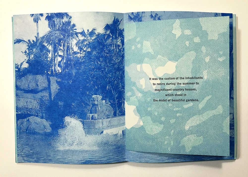
I wanted the book to be like walking through a garden; visually engaging, with the text as a caption to the plants, but one that makes the narrative and the context of these plants clear.


There are some waxed pages in there for the transparency.

And the second section of the book is specifically focused on the specific kinds of plants that I’m talking about and how they were transformed into commodities.

I’m pretty happy with how it looks. I’m going to the 2017 Codex Book Fair in California next weekend, Feb 5-8. You can see the book in person there if you happen to be there, otherwise I’ll also be at the Manhattan Fine Press Book Fair in NYC in March. So there’s that. Copies will be available in February; I’m furiously making boxes this week.


My arms are tired

Category : art, book
My arms are tired

Hi Mom,

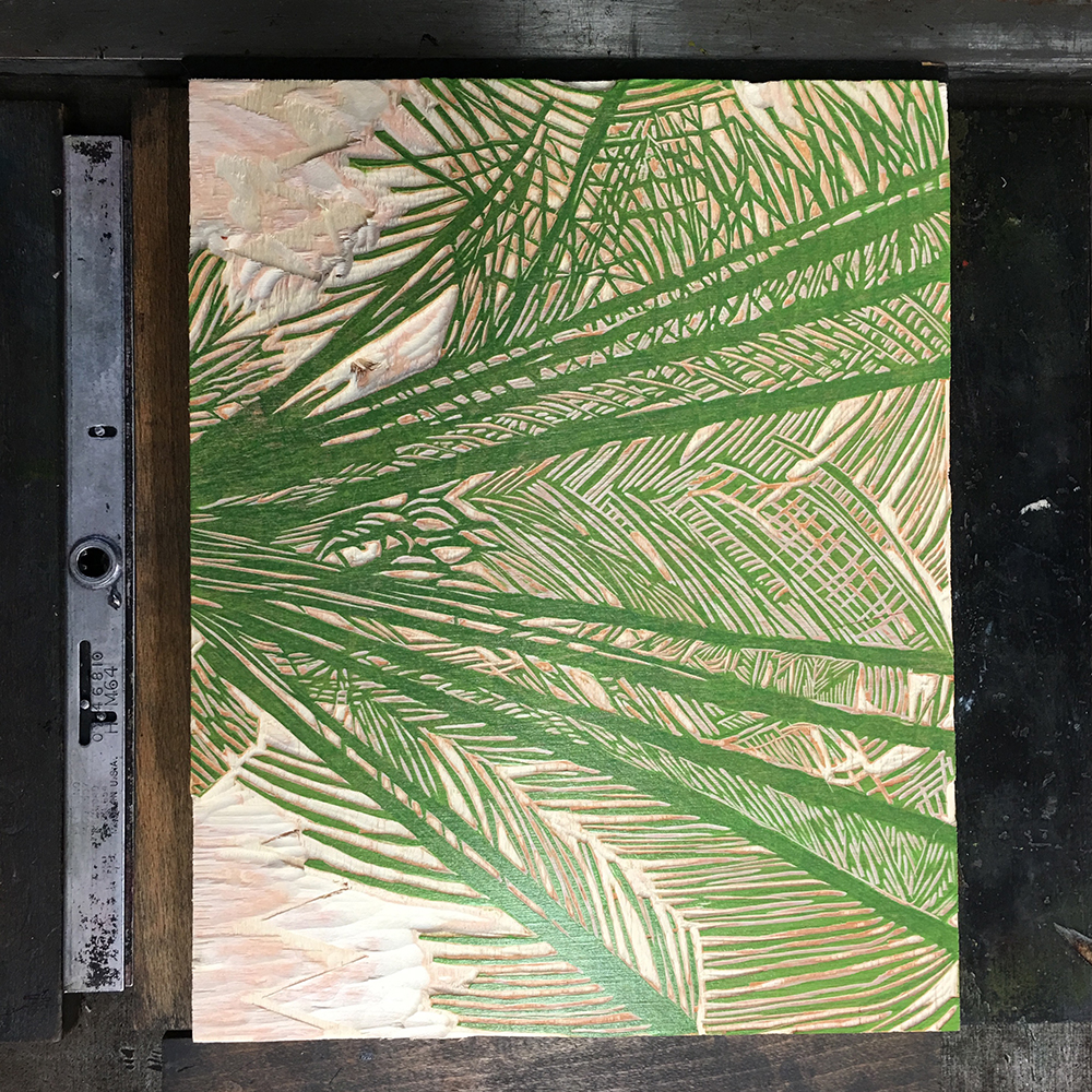
You may have noticed that I haven’t blogged in several months. I know! For a variety of reasons, I had to print an entire book and a pamphlet in the space of three months. I know, that’s a lot! A mad dash for three. whole. months, with no time to breathe, or cook, or clean, or certainly blog. This is a photo of the last run I printed last night:

ferns

I’ll post more soon about both editions. On to binding. See you at Christmas.


Make it big.

Make it big.

IMG_0852

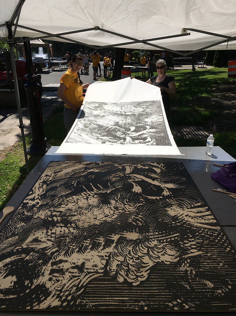
I spent most of the last month or so carving an enormous piece of wood that had taken up residence in my living room.

carving

Finally finished in time. Guttenberg Arts, the generous hosts that gave me a residency this past winter, hold an arts festival in nearby Braddock Park, with demos, vendors, steamroller prints and more.

done

I did a spoon printing demo of some of the enormous blocks in the park with my co-horts Beth Sheehan, Amanda Thackray and Ana Cordeiro.

handprinting

We had to fight some serious wind gusts but we recruited some help to make it happen.

Spoon printing #woodcuts

A video posted by Sarah Nicholls (@phosphorescentfacehighlighter) on

I finally got to see my block printed!

finished print

Both by hand and by machine.

steamroller

And Ana found a friend along the way, who cheered us on:

braddock


Onward.

Category : art, book

2016-02-14 16.55.28-2

It’s time to break out the hot pink ink, folks, in a vain attempt to keep warm, perhaps. I’m working out how to print something that looks like a greenhouse, something that looks like a staged version of tropicality. Or something along those lines.

2016-02-14 17.07.03-2

I’m also working on portraits of Joseph Banks this week, the renowned botanist and free love enthusiast. I discovered that not only did he come up with the idea of bringing cotton as a cash crop to the West Indies (to develop new markets to provide England with cotton for its textile mills), he also thought England should bring Chinese teas to India, so that the British would have a more affordable place to buy their favorite beverage. Never underestimate a botanist.

IMAG3602


@