GCP walk, East Elmhurst through Flushing Bay
Past St. Michaels we walked through East Elmhurst, the neighborhood that somehow is north of regular Elmhurst. East Elmhurst is the home of my least favorite airport:
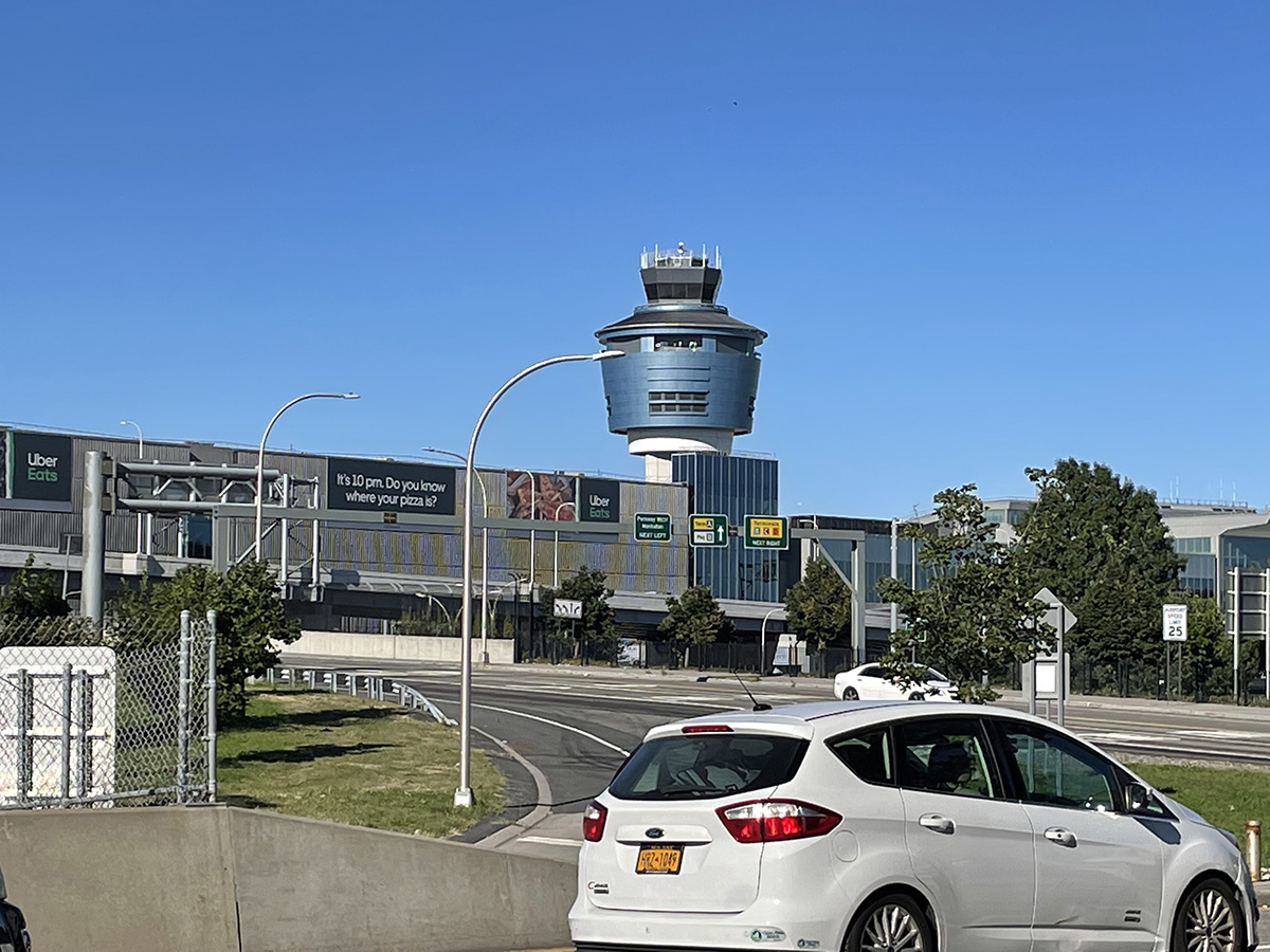
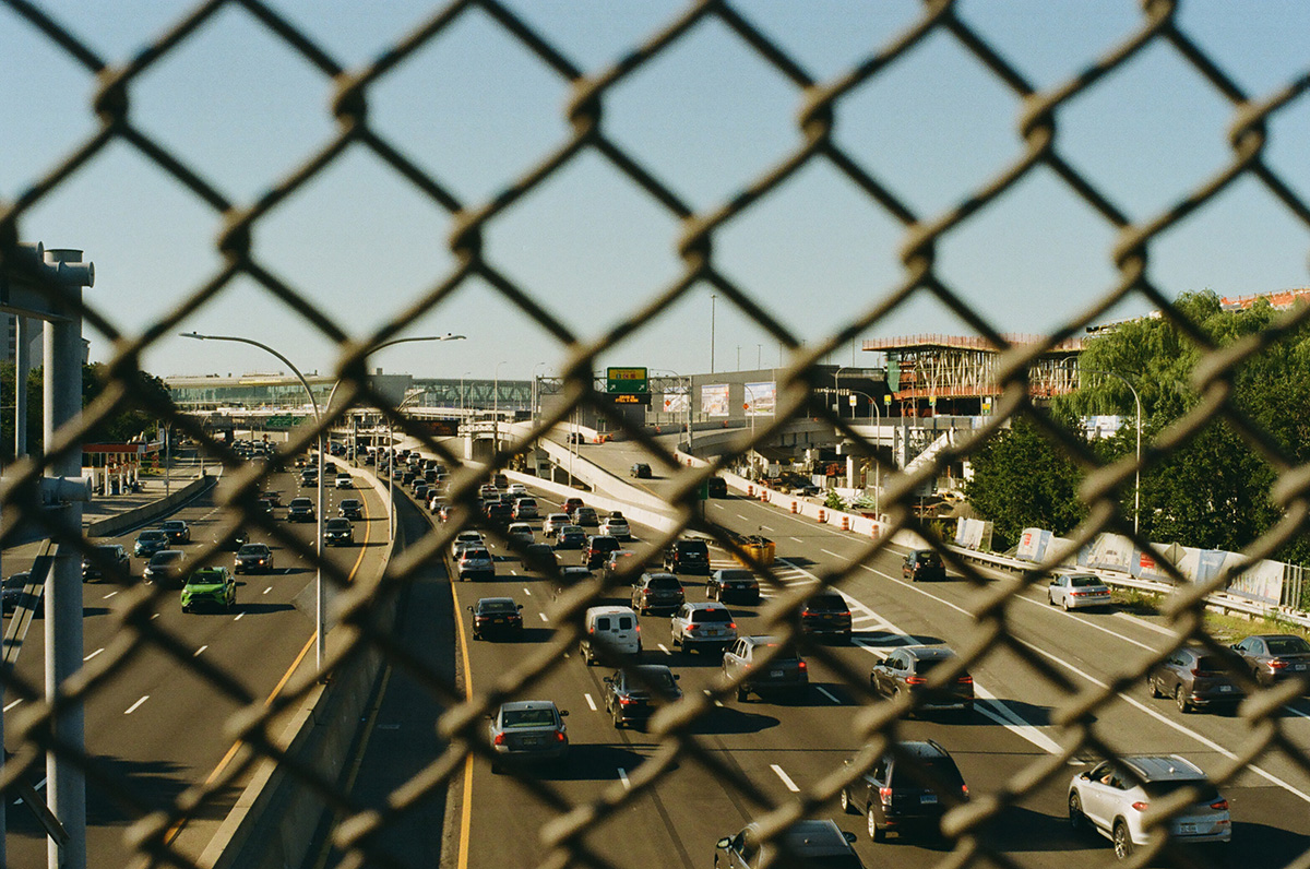
La Guardia, named for the former mayor Fiorello, who was super into airports. Before NYC had its own airport within the city limits, he flew into Newark Airport and pitched a fit when it came time to leave the plane. “I bought a ticket to New York City, why are we in New Jersey? Take me to NYC!”. I admire the spirit, but dislike his namesake. We walked over another overpass to get here.
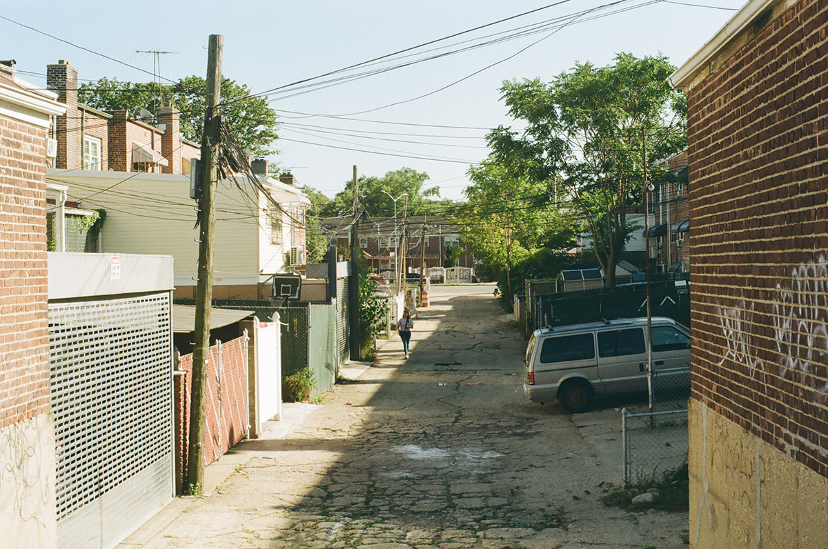
East Elmhurst is mostly very low in elevation, as is all the land around the airport, and therefore is at high risk for flooding; it was built on a former marsh that was called Trains Meadow. It’s full of rows of single family homes made of brick or of vinyl siding, with the spectacular awnings I always associate with Queens, and was one of the few neighborhoods where black families were allowed to buy a home. It became known for the musicians, entertainers, and cultural icons who lived there, and made it one of the most stable neighborhoods in NYC. Malcolm X, Ella Fitzgerald and Dizzy Gillespie all lived here. While white families poured out of the city, taking advantage of the federal loans available to them, into the suburbs via the Grand Central Parkway, the black homeowners in East Elmhurst stayed put and built a community.
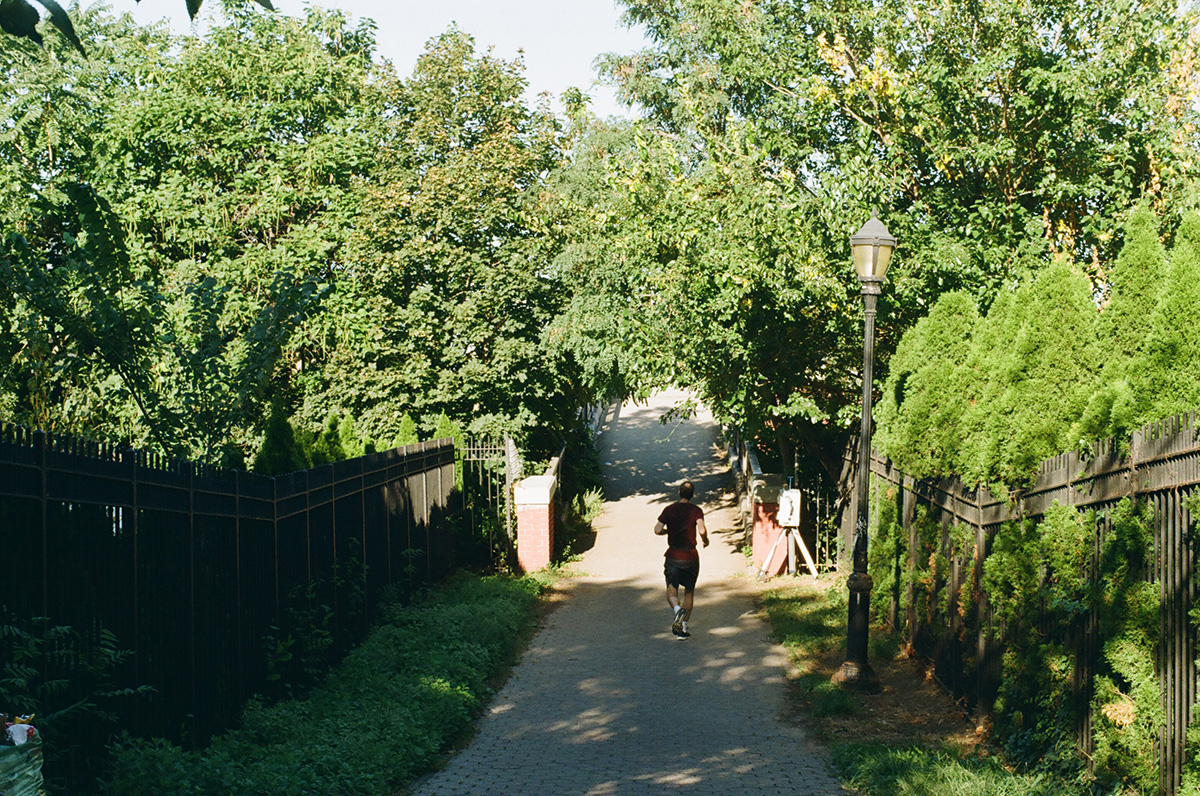
We walked along Ditmars Boulevard for a while, just south of the parkway. There’s a hilly spot called Overlook Park where you can watch the planes take off and land.
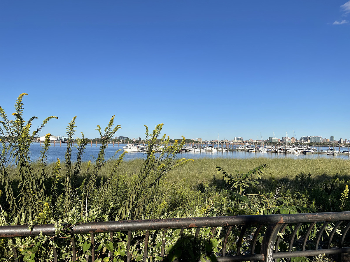
Eventually you get to a path that leads to the entrance to the Flushing Bay Promenade:
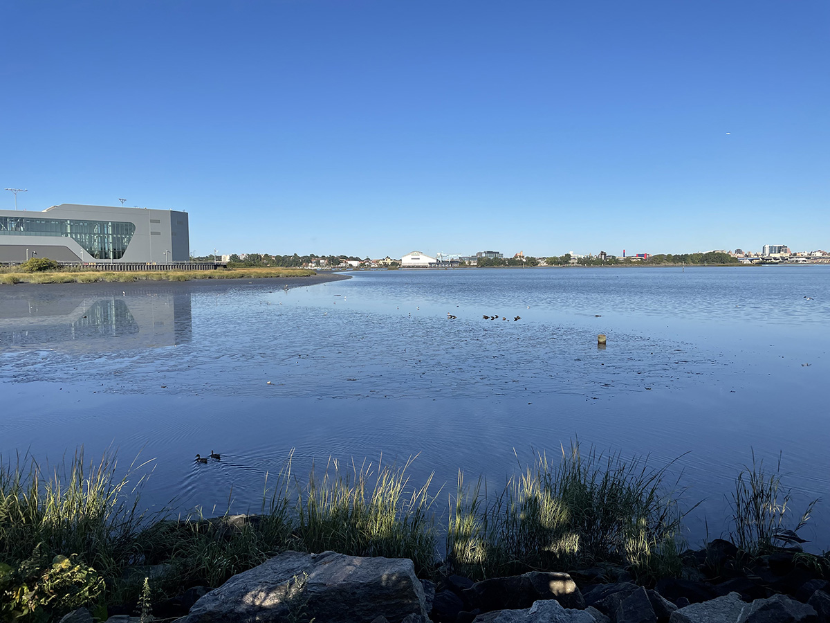
Which leads you here:
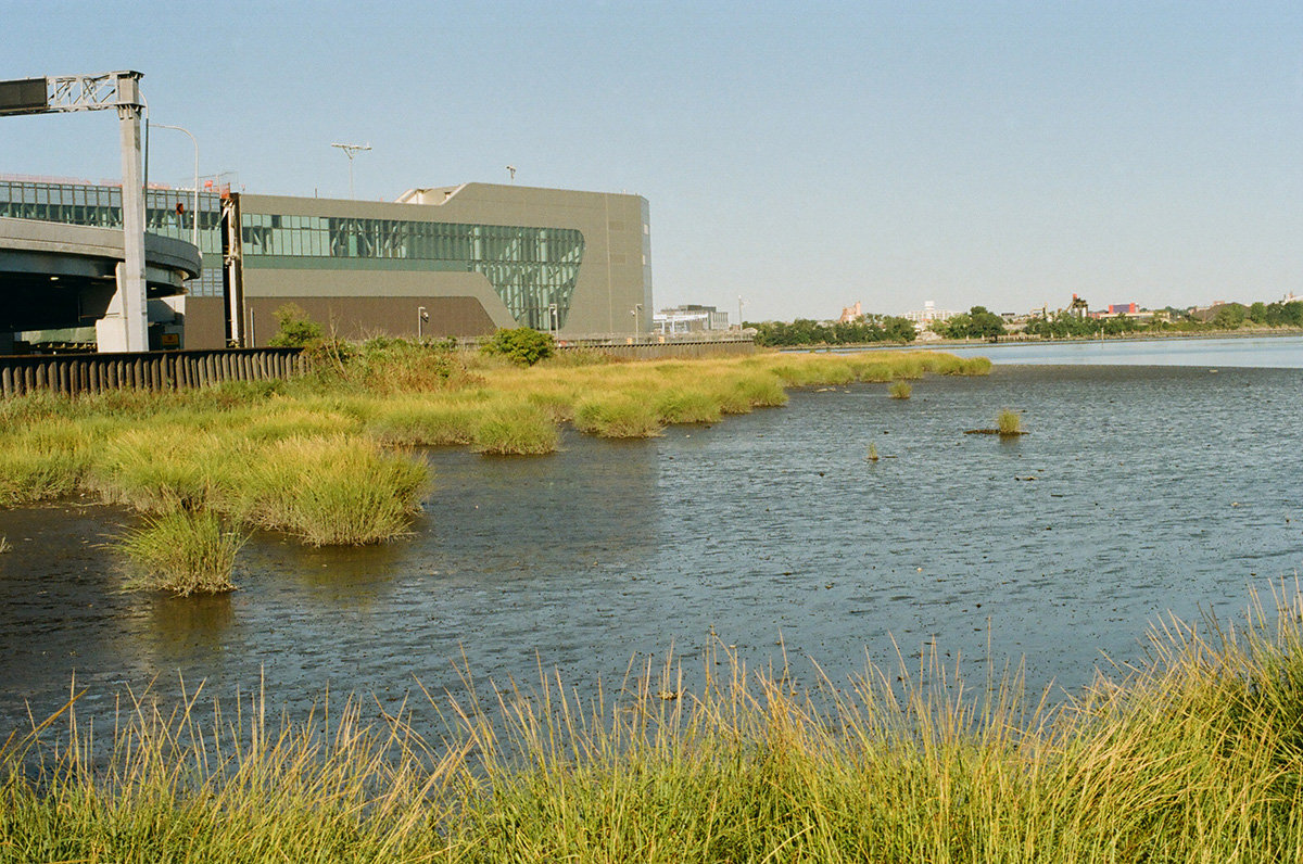
One of my favorite things, a marshy, under-appreciated body of water, this one called Flushing Bay. This bay is of course not as clean as residents would like (support and follow Guardians of Flushing Bay for more info), for the usual reasons: illegal dumping, pollution and runoff from the airport, storm runoff from some of the nearby highways, and of course, raw sewage when it rains, because there are TEN combined sewer outflows that empty into the bay. Combined sewer outflows are places where the pipes that take the rainwater from the streets and the pipes that take sewage from private homes combine, so that when there’s a lot of rain, the combination of the two is more that the sewer system can process, so a good bit of it bypasses the water treatment plant and goes directly into the nearest body of water, out of a pipe called a CSO. In this case, into Flushing Bay.
If you want more info on NYC’s sewer system and where it all ends up, here’s a great resource: https://openseweratlas.tumblr.com
Horrified? You can look up your sewer shed and download a map of the system. NYC DEP also has an app called Wait… that you can download to remind you to let it mellow and also don’t do your dishes/laundry during a heavy storm:
https://www1.nyc.gov/site/dep/whats-new/wait.page
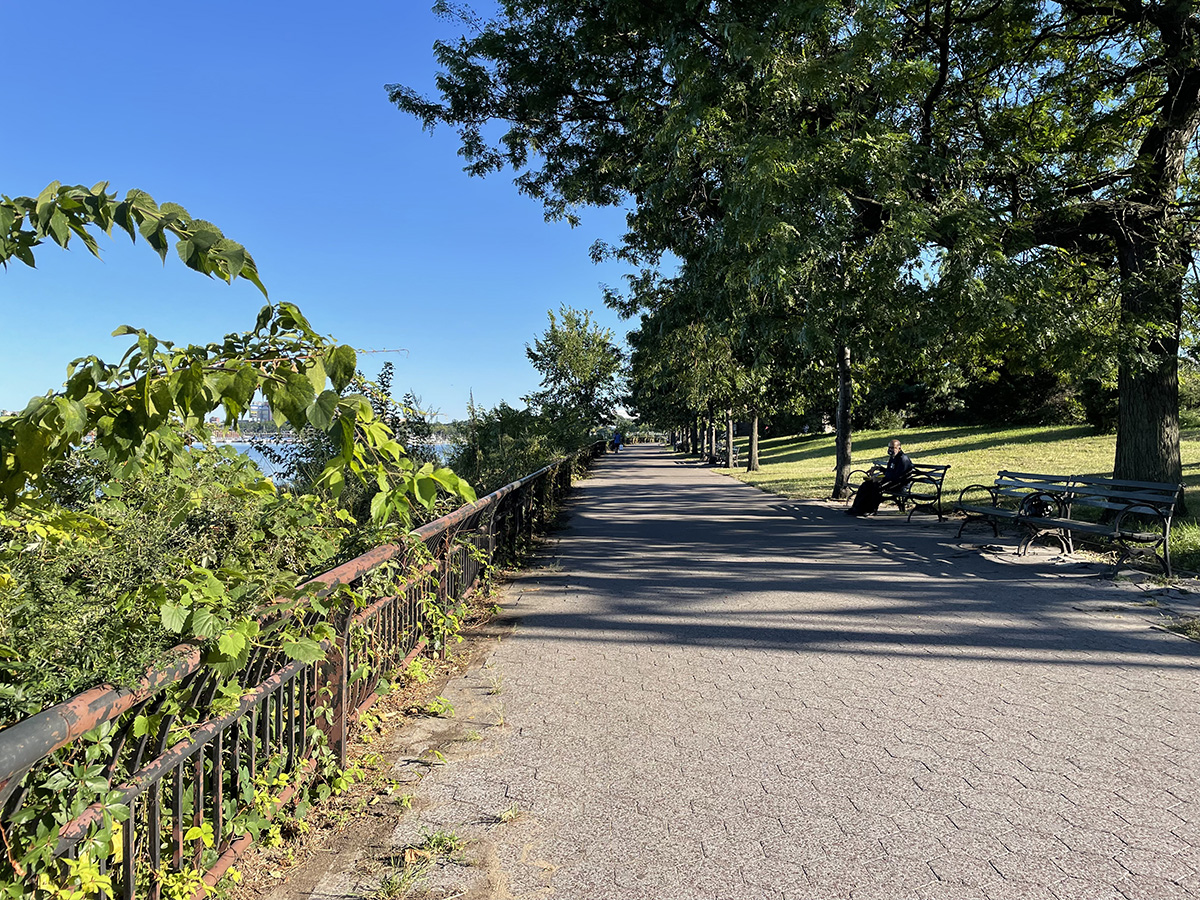
Back to the walk: we stopped on the promenade for a very delayed lunch of enormous Italian sandwiches and dodged some enthusiastic yellow jackets.
There’s a marina here, built for one of the two World’s Fairs that were held here in the middle of the last century, which is home to some of the dragon boat crews that practice here in Flushing Bay and nearby Flushing Meadows. The annual Dragon Boat Festival is coming up next month, FYI: https://www.hkdbf-ny.org/index.php
Teams have been competing in the man-made lakes in Flushing Meadows park since 1990, alongside traditional Chinese food stalls and performances in one of the largest dragon boat festivals in the US.
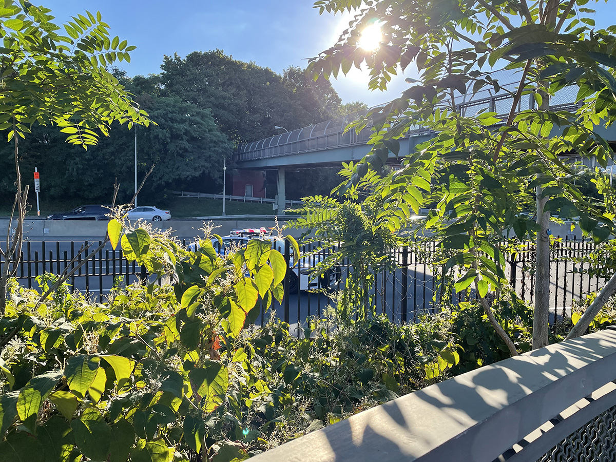
There is of course another overpass before you cross into the park, Flushing Meadows Corona Park, which we decided to save for the next leg.