I am (finally) finishing up a pamphlet mailing, ready to start the last one for the year. Lockdown delayed everything so I’m about a month and a half behind, but I’m trying not to think about that. This one came out nice, and is about this place:
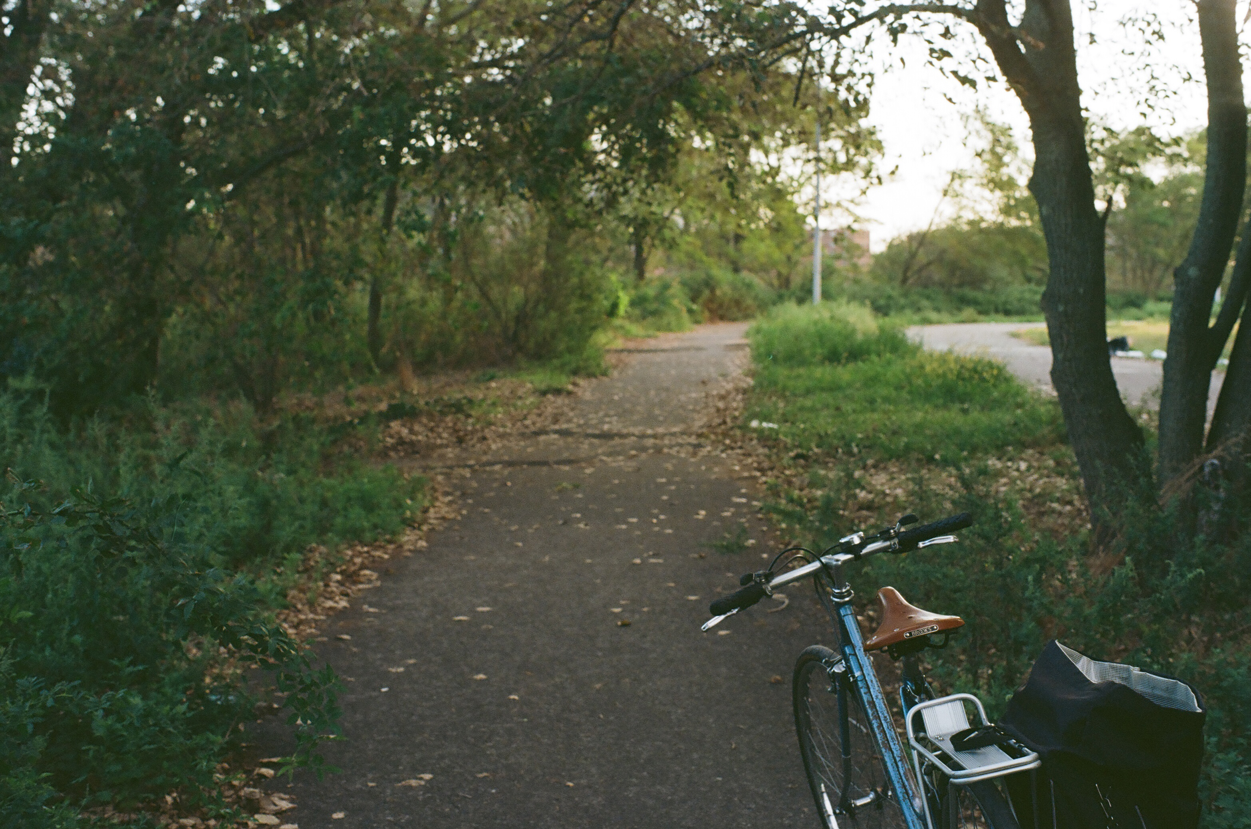
Which I visited a lot this past summer. This place is Coney Island Creek; I hadn’t been there before and this pamphlet was my reason to explore that southwestern end of Brooklyn. My usual route took me down the bike path on Ocean Parkway, straight through the area the city is now calling the Ocean Parkway Cluster, past women in smocks and old men smoking on the park benches that line the oldest bike route in the country. The Ocean Parkway Greenway is very flat, on the outwash plain of southern Brooklyn, running next to a wide speedway of a road, full of people revving their engines and drag racing on a Friday night. This road has endless stop lights that most cyclists blow through once they get a sense of how the traffic works, but on a busy day with lots of cross traffic it can be slow going.

Getting to Gravesend and the entrance to Calvert Vaux Park, the park I visited most, means biking down from Prospect Park and hanging a right onto Avenue T, through a Syrian Orthodox Jewish community with some very nice large single family houses, across McDonald Avenue into Gravesend, past Stillwell Avenue and onto 26th Avenue, through a neighborhood full identical two story brick houses with their white painted wrought iron gates. There’s an Italian ice shop on the corner of Cropsey Avenue that’s nice to stop at on the way home. Follow 26th ave to the end, where there’s a new protected two way bike lane on the service road next to the Belt Parkway; after a left it’s only a block to the entrance to Calvert Vaux.
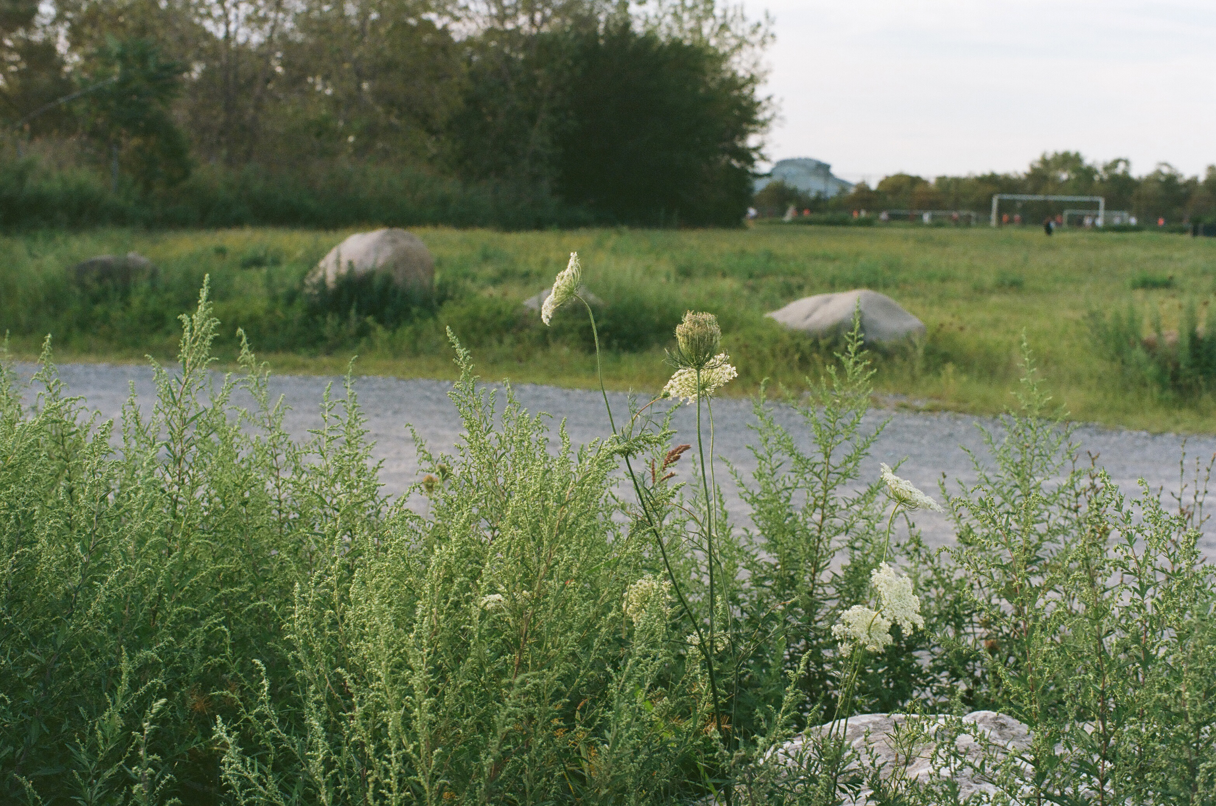
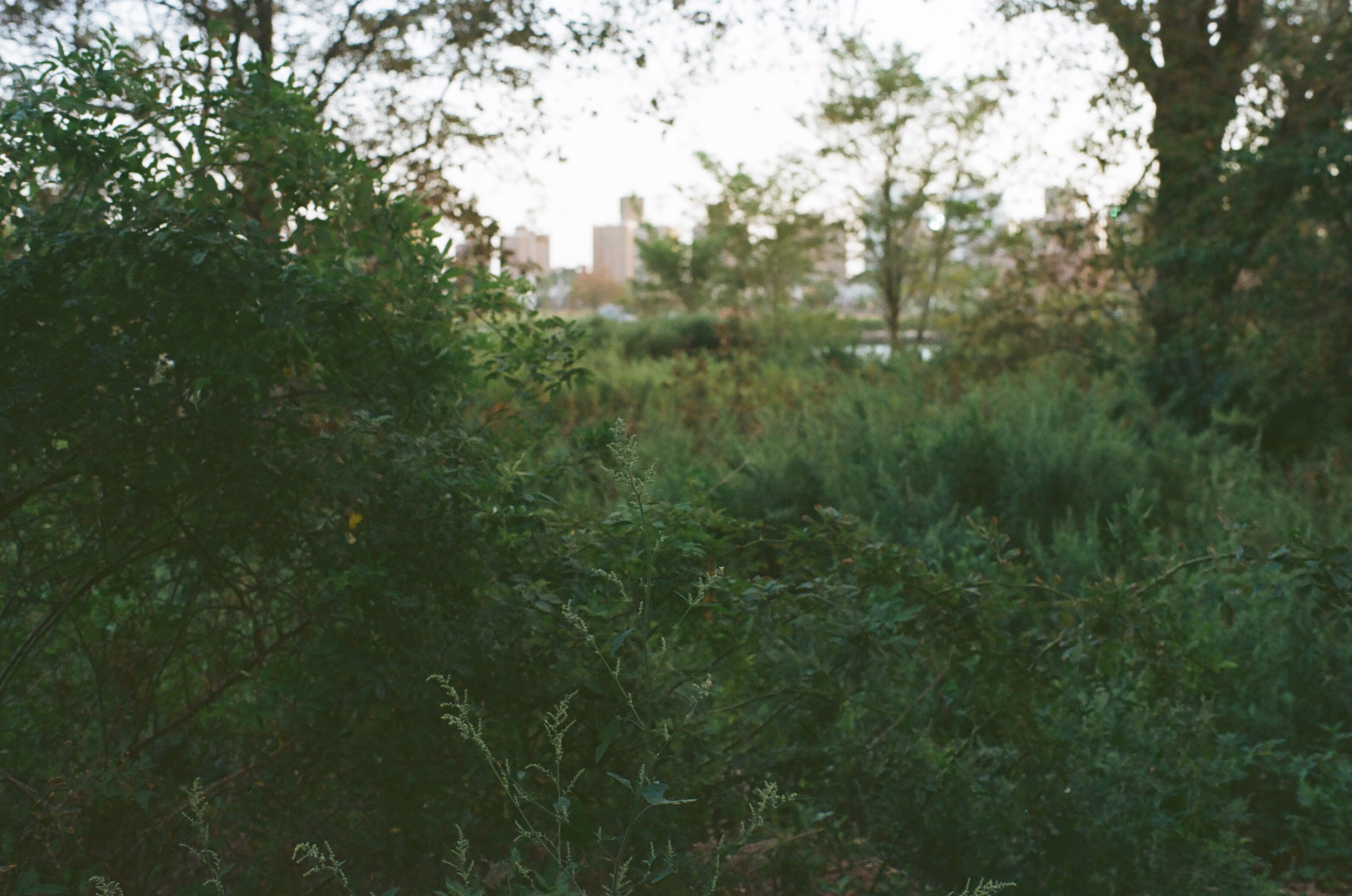
Calvert Vaux is my favorite of the three parks that line the mouth of Coney Island Creek. It has several sports fields and beautiful waterfront views. All of them are underfunded and neglected; the trash doesn’t get collected regularly enough and the weeds were out of control by August. But I like the sense that you’re out on one of the far corners; I like the weeds taking over the place.
The sky is enormous here and you are far from Manhattan.
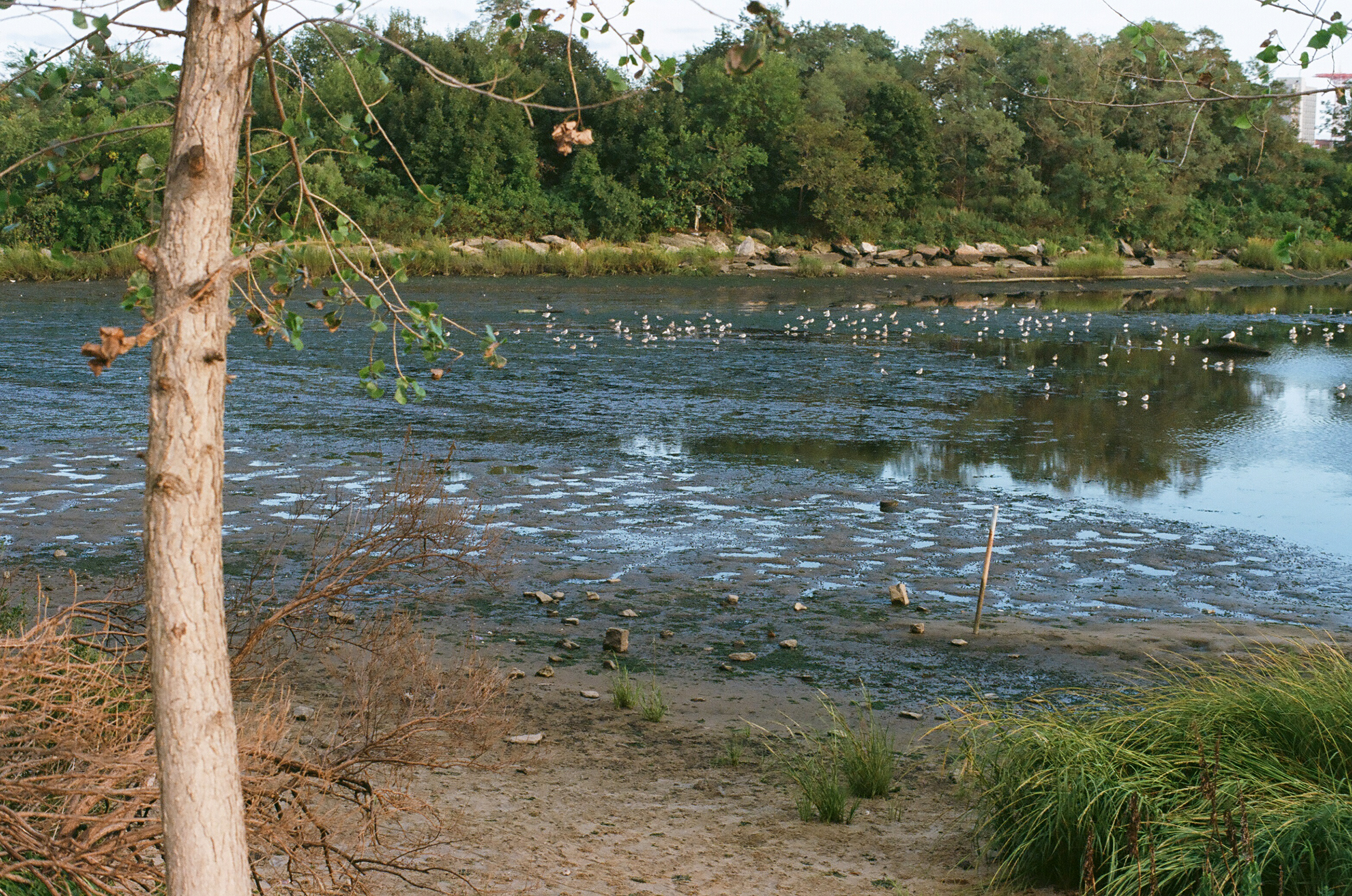
There’s a marshy mudflat that is full of shore birds and there’s a lot of good birdwatching to be had. The mouth of the creek is also where several boats have been sunk, and the birds like to use their rusting hulls as perch to look down from for a snack. My usual walk started near the shore opposite the dirt parking lot and went in a circle, parallel to the waterline, out to the end and back up around, facing the Verazzano Bridge in the distance, then back again. You can bushwhack your way through the weeds to the water. People fly drones. Loud barbecues happen on both sides of the shore. It’s a great summertime park.

The park’s named after the park architect Calvert Vaux, who was Frederick Law Omstead’s collaborator on Central and Prospect Parks. He drowned here in Gravesend Bay in 1895. Some say mysteriously? The shoreline at that time was different; most of the park is constructed on landfilled soil and sand excavated for the construction of the Verazanno-Narrows Bridge nearby, so it hasn’t been here for very long, only since the middle of the last century. How much longer will it be here?

It’s strange now to think about this summer, now that it’s dark early. We’re entering a season that people are dreading, between the election and the rising virus tally. I have started carrying my heavy bike gloves with me when I leave the house in case the wind picks up and my hands start to freeze. I remember the feeling of riding back in in twilight, riding fast and enjoying the breeze on my back, and I’m not sure what happened between then and now.

The pamphlet is about this park, and the other two parks, and the creek and where is goes and when it got covered over, and beachfront property and what I think a beach is, and many other things at the same time. I think it turned out quite nice, thank you.
You can get a copy of the new pamphlet here; there’s more to come about Coney Island Creek soon enough. In the meantime, I would like to collect maps from you. Where did you walk this summer? We’ve all been walking outside more than usual this year. What’s your favorite route? What do you like about it? Would you send me a picture and a map? I’ve got an idea. You can send me them at sarah at sarah nicholls dot com. Thank you.
