My plan for this year was pretty straightforward.
I was going to make three pamphlets, all three having something to do with maps.
These maps would be of the Brooklyn waterfront, present, past and future. I had made some large scale maps last summer, in a residency on Governor’s Island through Works on Water.
I wanted to use the idea of storytelling through mapmaking to talk about the different layers in these maps. I also wanted to continue making these maps, finish the coastline, complete the circle.
I was going to walk along the waterfront with friends, and have events that brought readers to the places I wanted to write about.
I was going to have my act together and send out the spring issue in spring, the summer in summer, etc.
I mean, some good ideas, right? But we all know what happens with well-laid plans. The collapse of society-as-we-knew-it got in the way of getting things out on a schedule, of access to studios, of gathering together in a landscape.
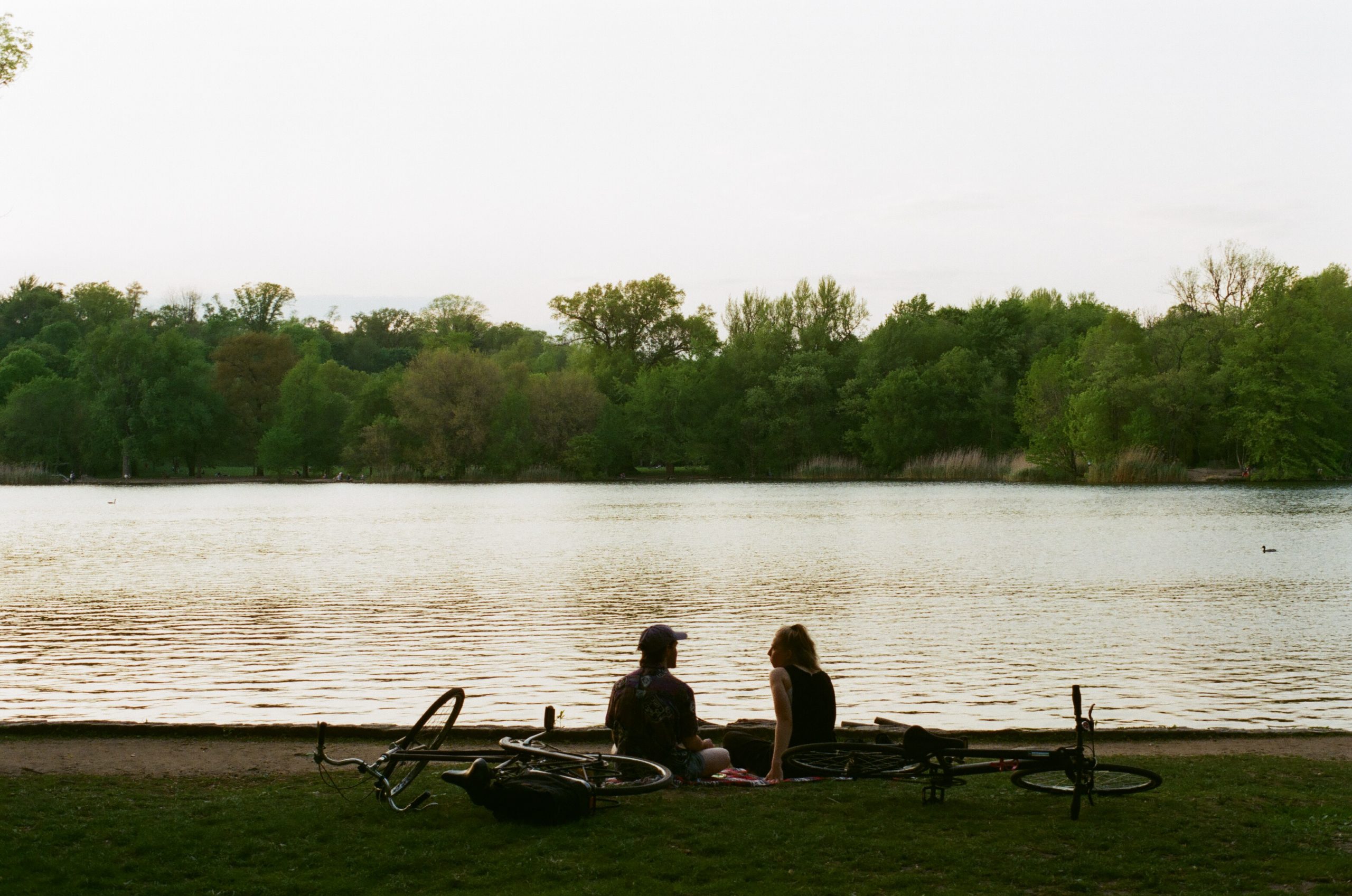
But other things happened as well: people discovered a new love for the post office, of all things. People walked outside, and discovered parks and green spaces near them. People walked and biked and realized that roads could be used for something other than storing private cars and driving.
The city I had been living in was being replaced by a new version and parts of that process have been horrifying and parts are beautiful.
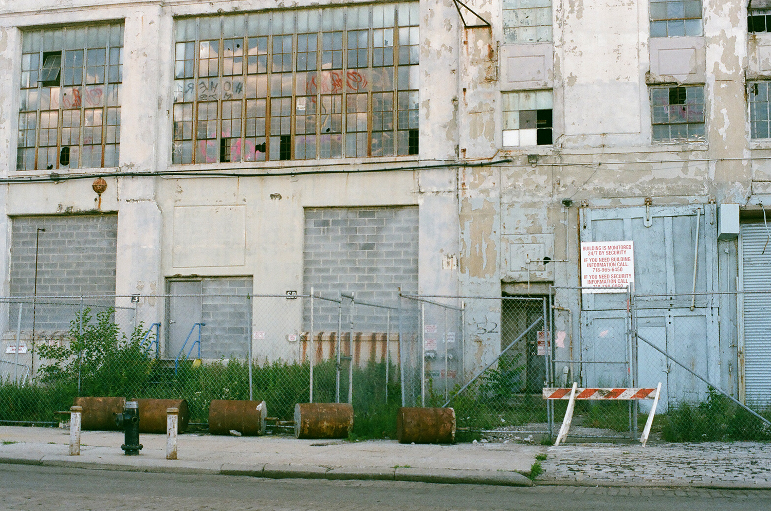
This spring I made my first virtual walk, a video that accompanies the “spring” 2020 informational pamphlet, The Morse Dry Dock Dial, with a map for those who would like to follow along. I realized that a video of a walk could bring more people into the landscapes I was interested in than a live event could, and that the readers who live elsewhere were able to participate in this version of the walk. I got excited.
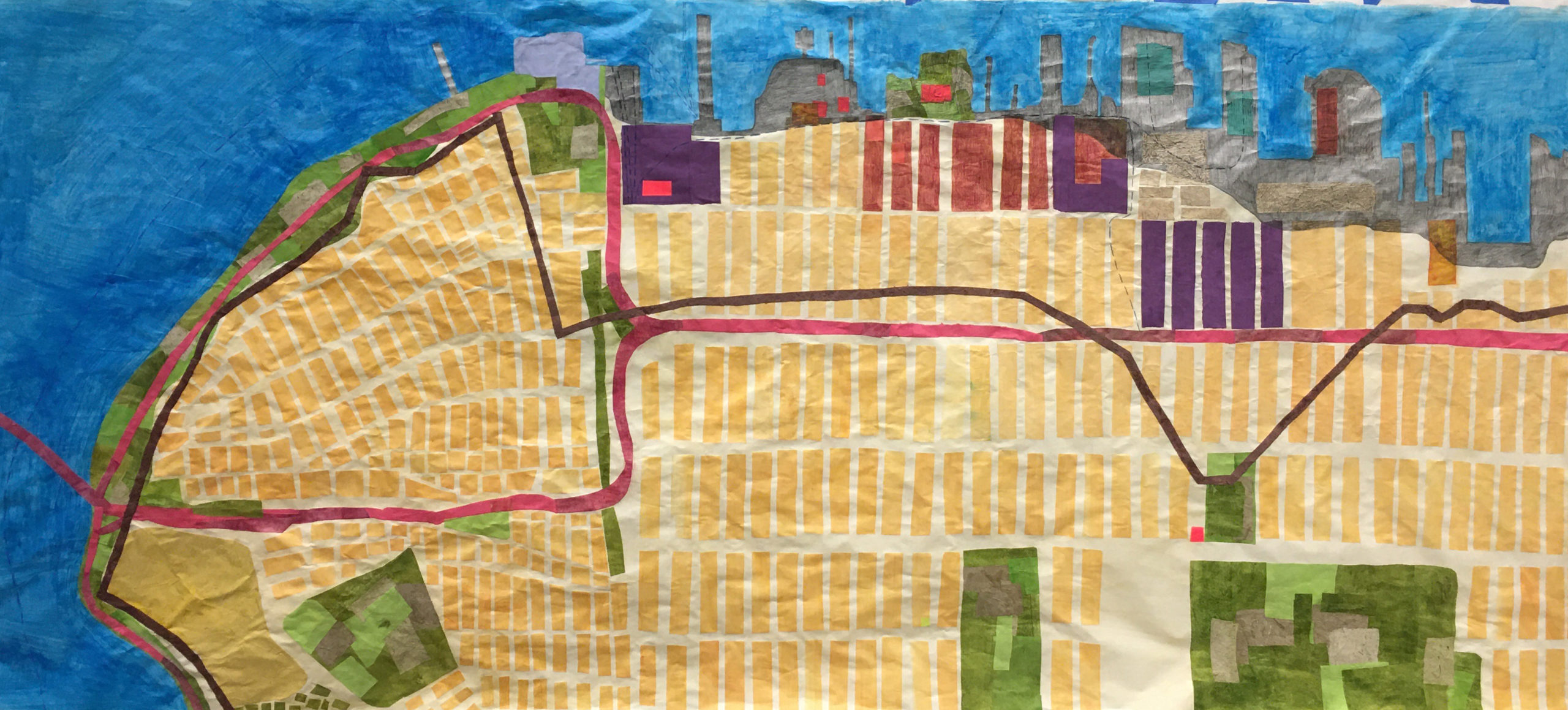
This fall I am in residence at BRIC, and I started off working on the map of Sunset Park, the neighborhood I walked through in the spring, the neighborhood my mother’s family is from.
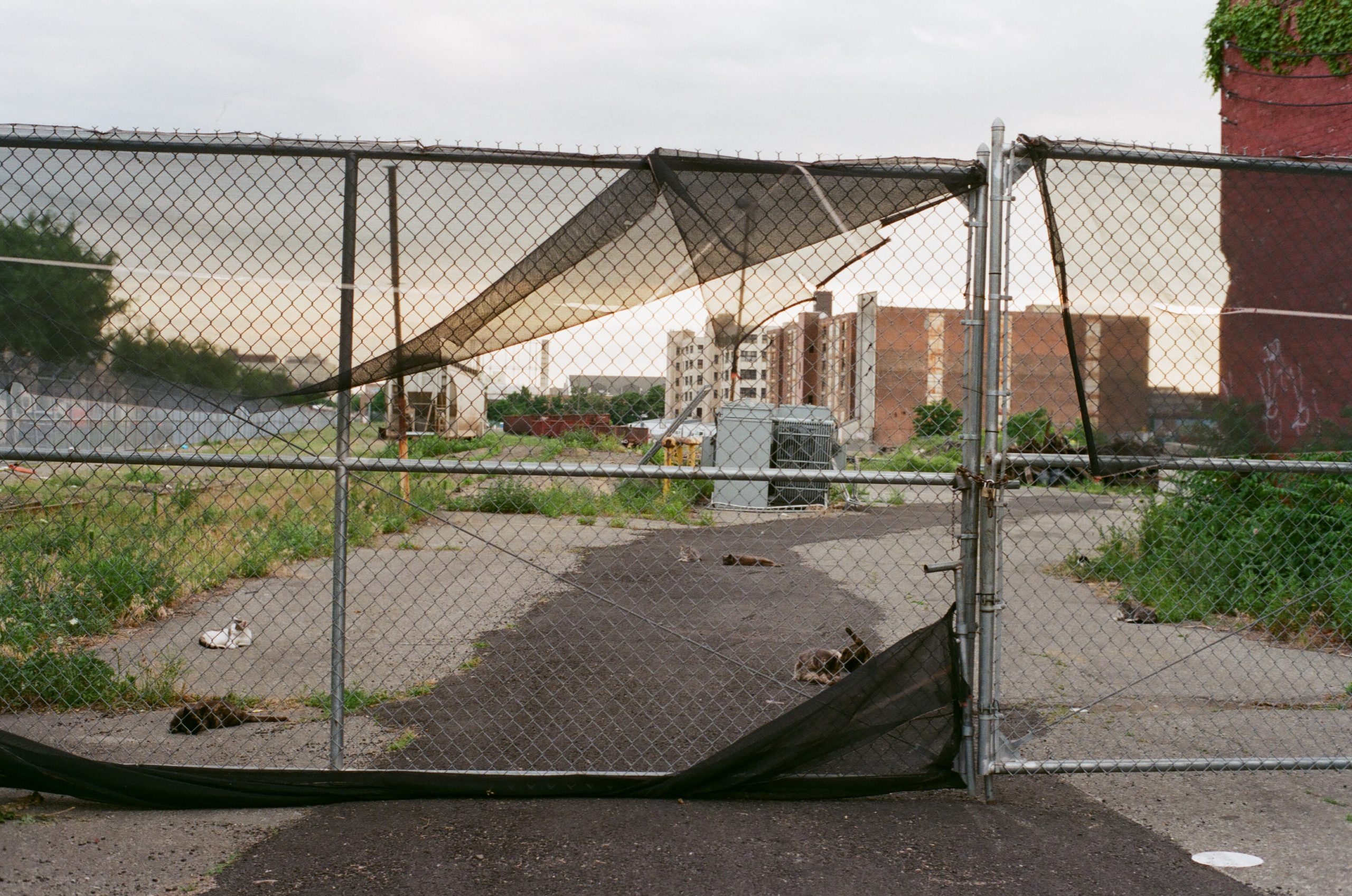
These maps are bigger than I usually work, and try to show the past coastline, the future flood zones, the industrially polluted brownfields, the historical markers, the green spaces, the rezoned neighborhoods, the Moses-era highways, and the native pathways that make up the coastline. They are made up of paper, some machine-made, some handmade, from fiber that relates to the coastline, either by history (cotton, imported into Brooklyn warehouses from southern plantations; flax and hemp, grown by colonists) or by ecology (urban plants harvested from the landscape, processed into pulp). Did I mention I was going to learn how to make paper this year? I learned how to make paper this year, in a much more DIY way than originally planned. No studio access, no in-person classes, but I’ve made some paper.
Here is a picture of the Sunset Park Map:
Here is a picture of the Sunset Park Landscape:

Here’s a link to the first virtual walk:
More soon.
